The Alum Cave Trail ascends Mt. LeConte, which is the tallest mountain which is contained entirely within the state of Tennessee and which is the second highest mountain in Tennessee. Mt. LeConte is the sixth highest mountain east of the Mississippi. The highest point in Tennessee is on the Tennessee-North Carolina state line at at the summit of Clingman's Dome, and so Clingman's Dome is shared between Tennessee and North Carolina.
The Alum Cave Trail begins at point A on the Newfound Gap Road. From the trailhead, it's about 8.7 miles west and north back down the mountain to Gatlinburg, and it's a further 9.0 miles east and south up the mountain to Newfound Gap.
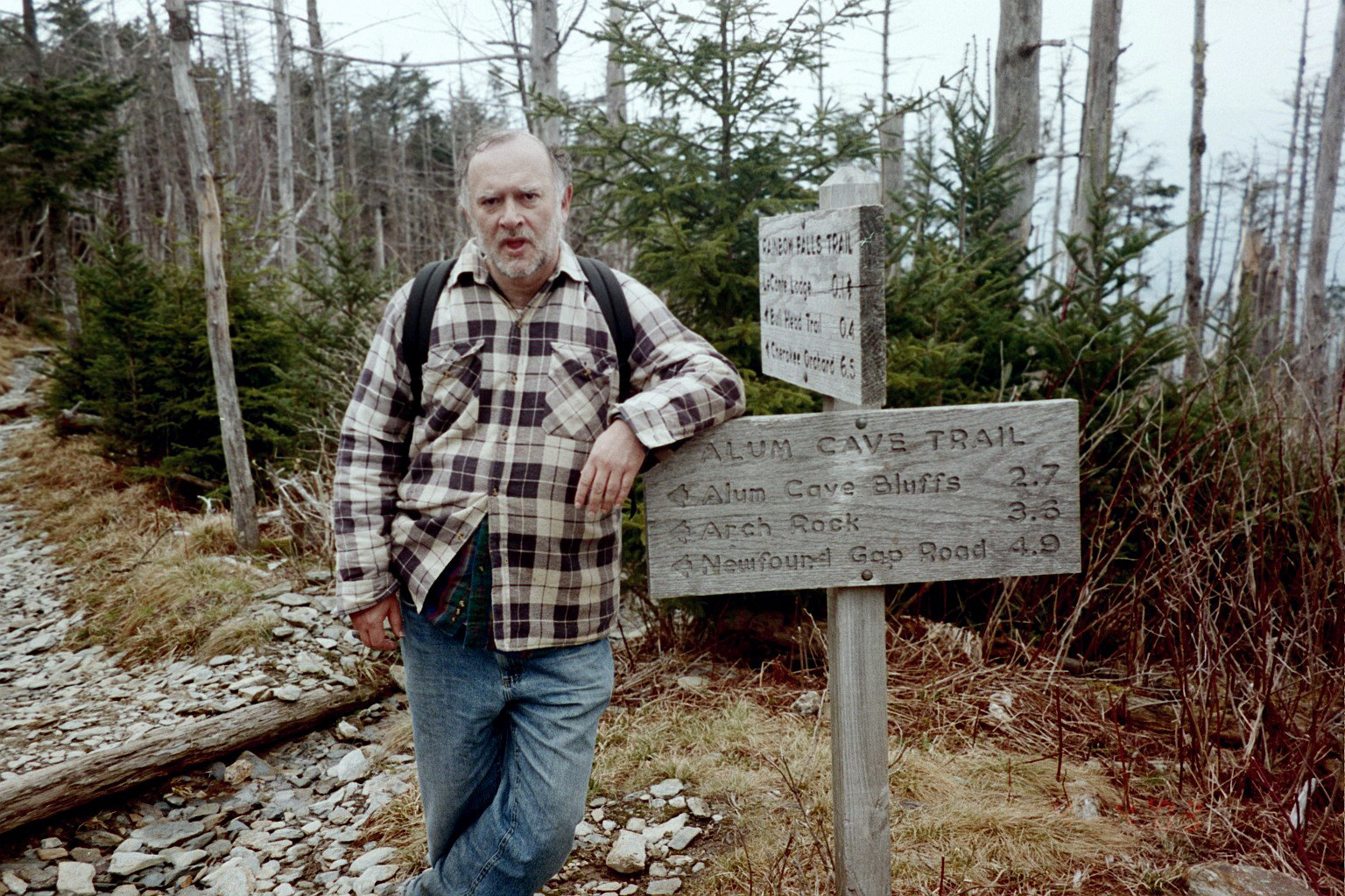
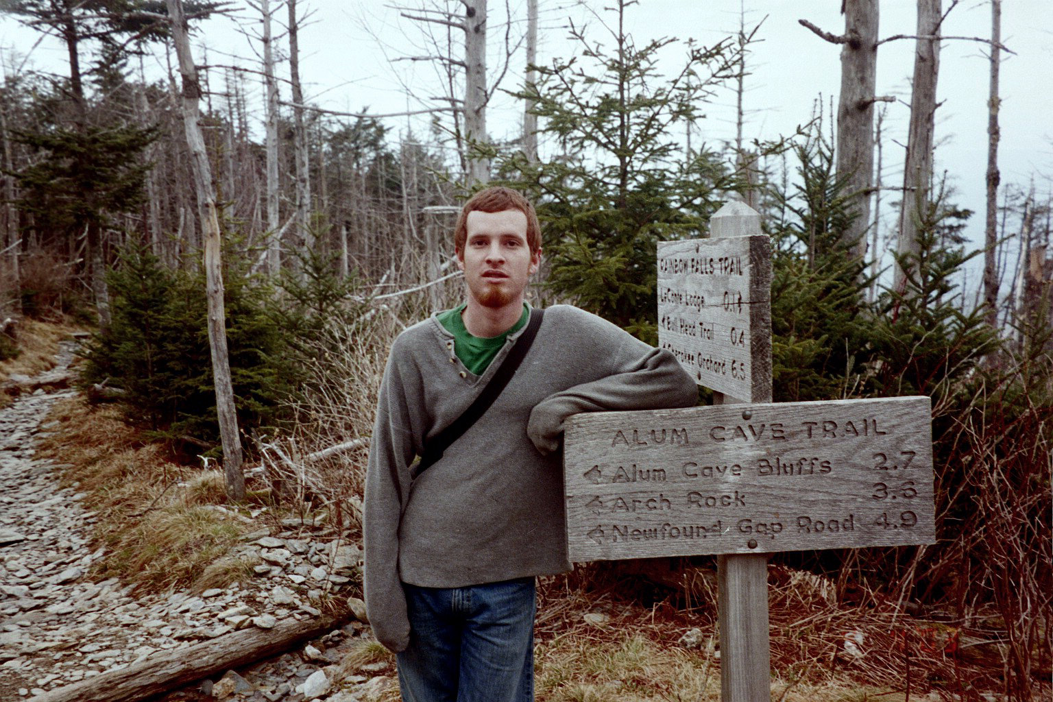
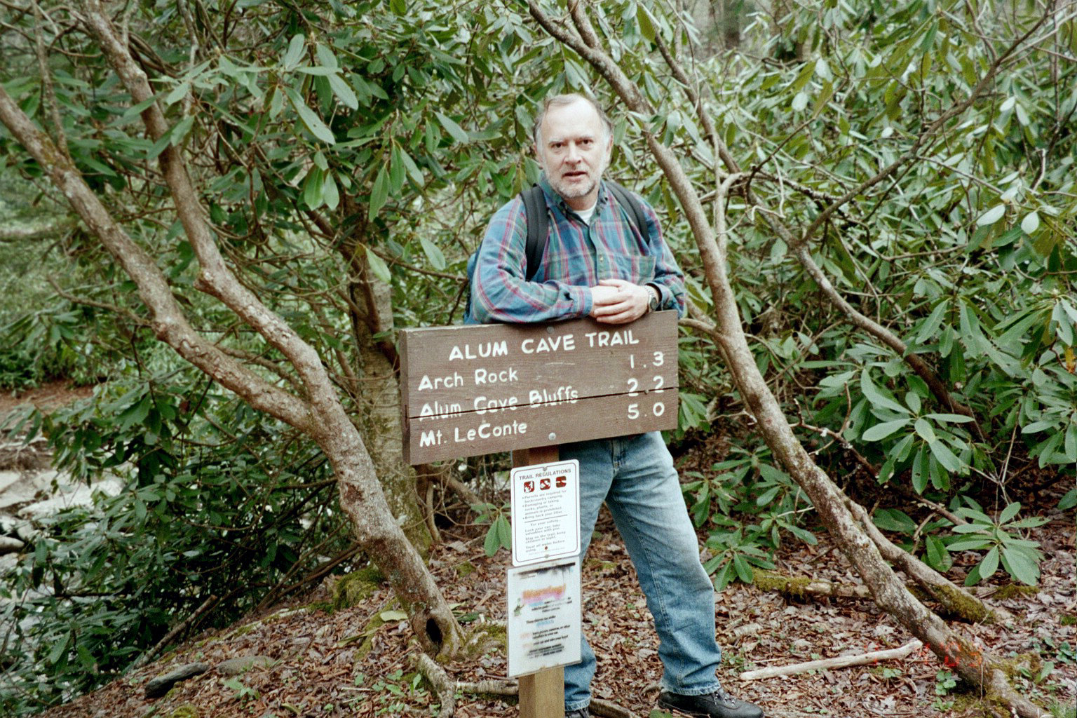
The trail follows Alum Cave Creek to Point B, where the trail goes through Arch Rock. There are stairs and steel cables to assist the ascent through Arch Rock. From Arch Rock, the trail proceeds to Alum Cave itself at Point C, which is not a true cave but which rather is a rock shelter. Traffic on the trail is usually fairly heavy with casual hikers up to Arch Rock and sometimes even up to Alum Cave, especially families with small children. Traffic on the trail is much lighter after Alum Cave.
Shortly past Alum Cave is Peregrine Peak and usually there is a good view of some peregrine falcons. The steepest portion of the trail is from Alum Cave to a switchback at point D. The switchback is below High Top, which is the highest point on Mt. LeConte - but as the saying goes "you can't get there from here". Instead, the trail goes from point D to point E, following the contour lines of the mountain and ascending fairly gently. The mountain is fairly steep at this point, and it feels like you are moving across the face of the mountain. There are a number of places between point D and point E where there are steel cables and hand holds, not to help you climb but rather to help you keep your footing and not slide down the mountain.
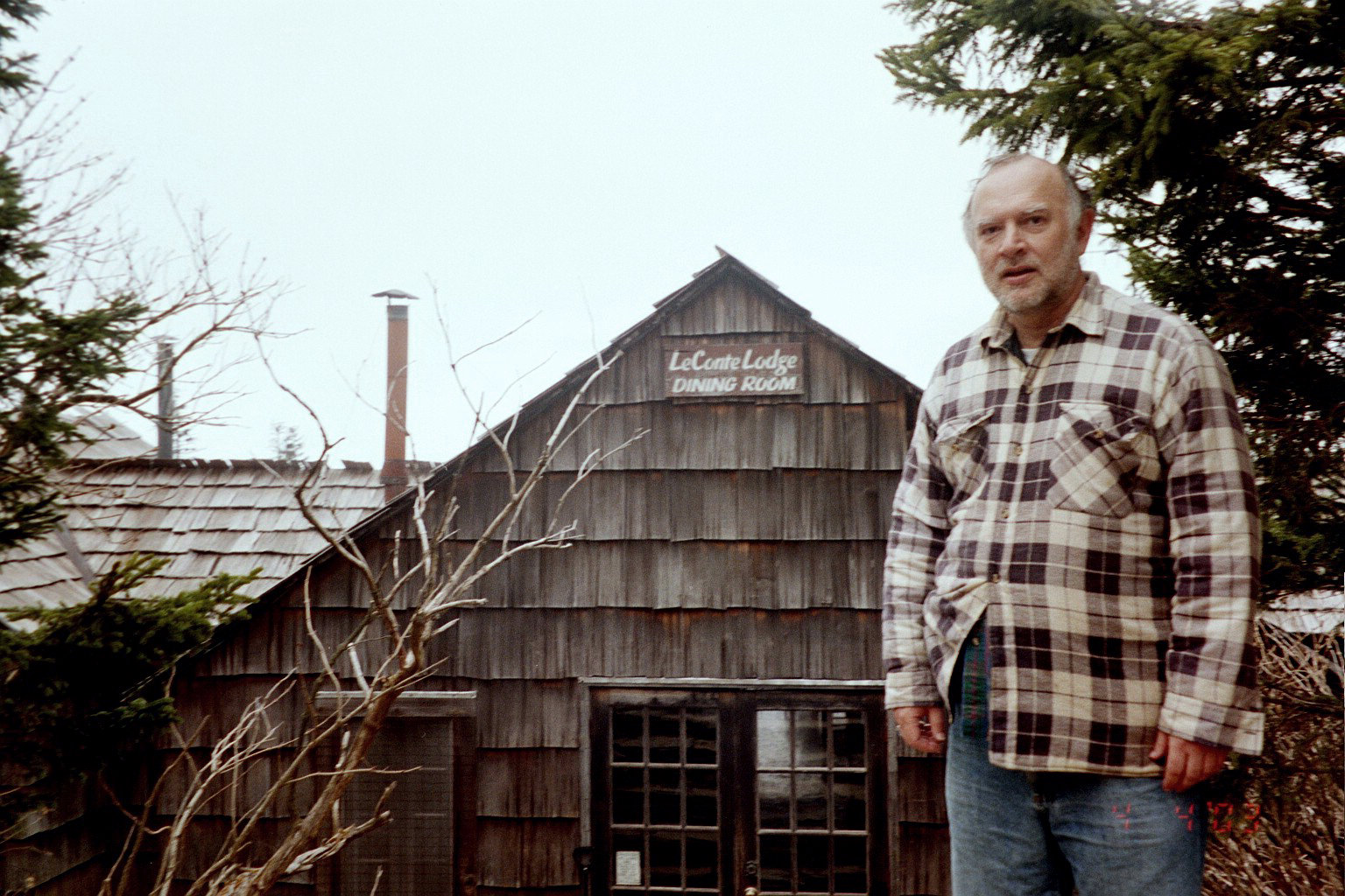
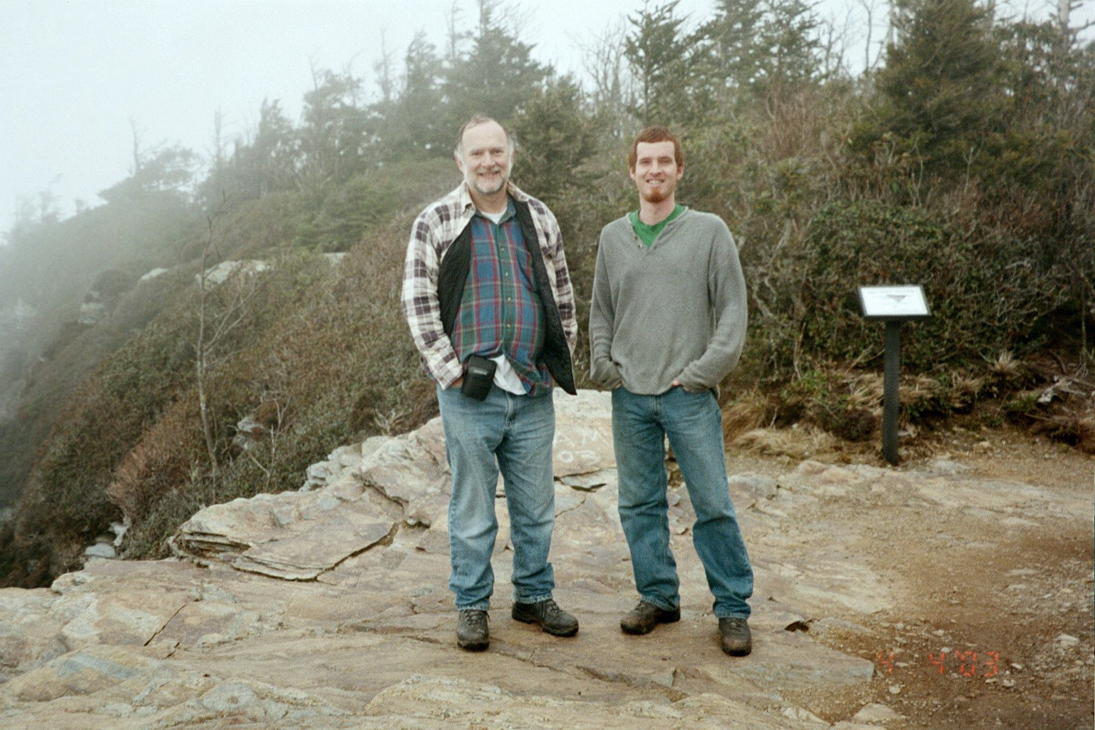
The Alum Cave Trail joins the Rainbow Falls Trail at point E, and from there you follow the crest of the mountain to the LeConte Lodge at point F. The lodge has cabins and a dining hall, and it's a great treat to spend the night there. However, reservations generally speaking must be made a year in advance. It's also worth exploring the top of the mountain at least over to High Top at Point G, which is the highest point on Mt. LeConte. Excellent views are available from the eastern brow of the mountain at Myrtle Point and from the western brow of the mountain at West Point.