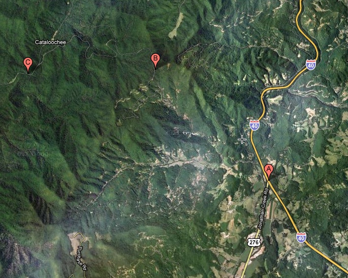
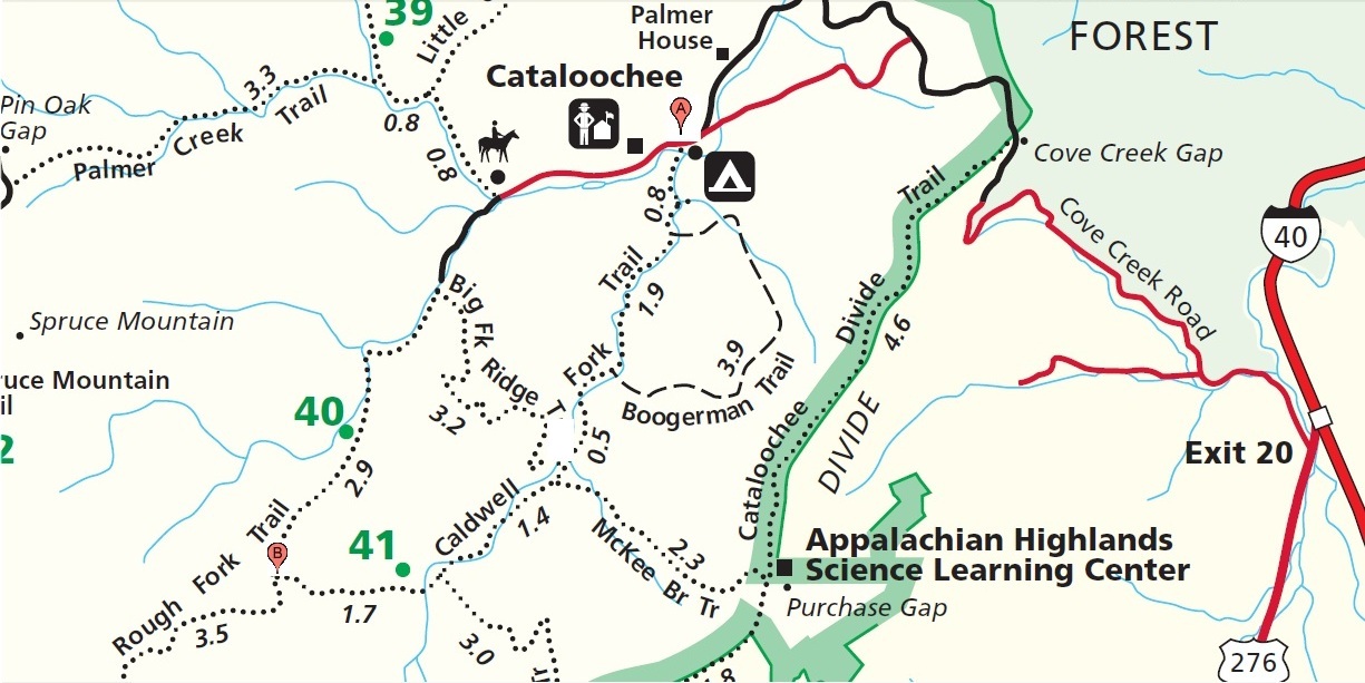
I hiked 3.2 miles from the trailhead (point A) on the trail map to
the junction with the Big Fork Ridge Trail, for a total round trip
of 6.4 miles.
|
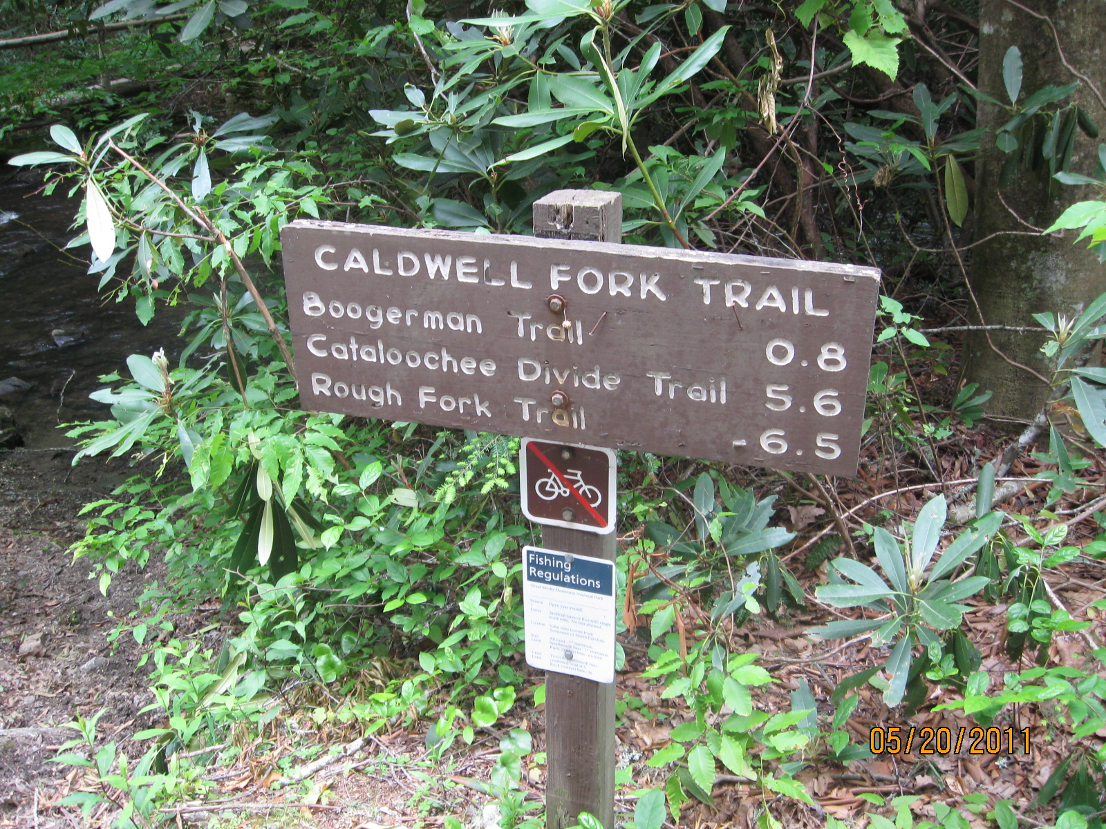
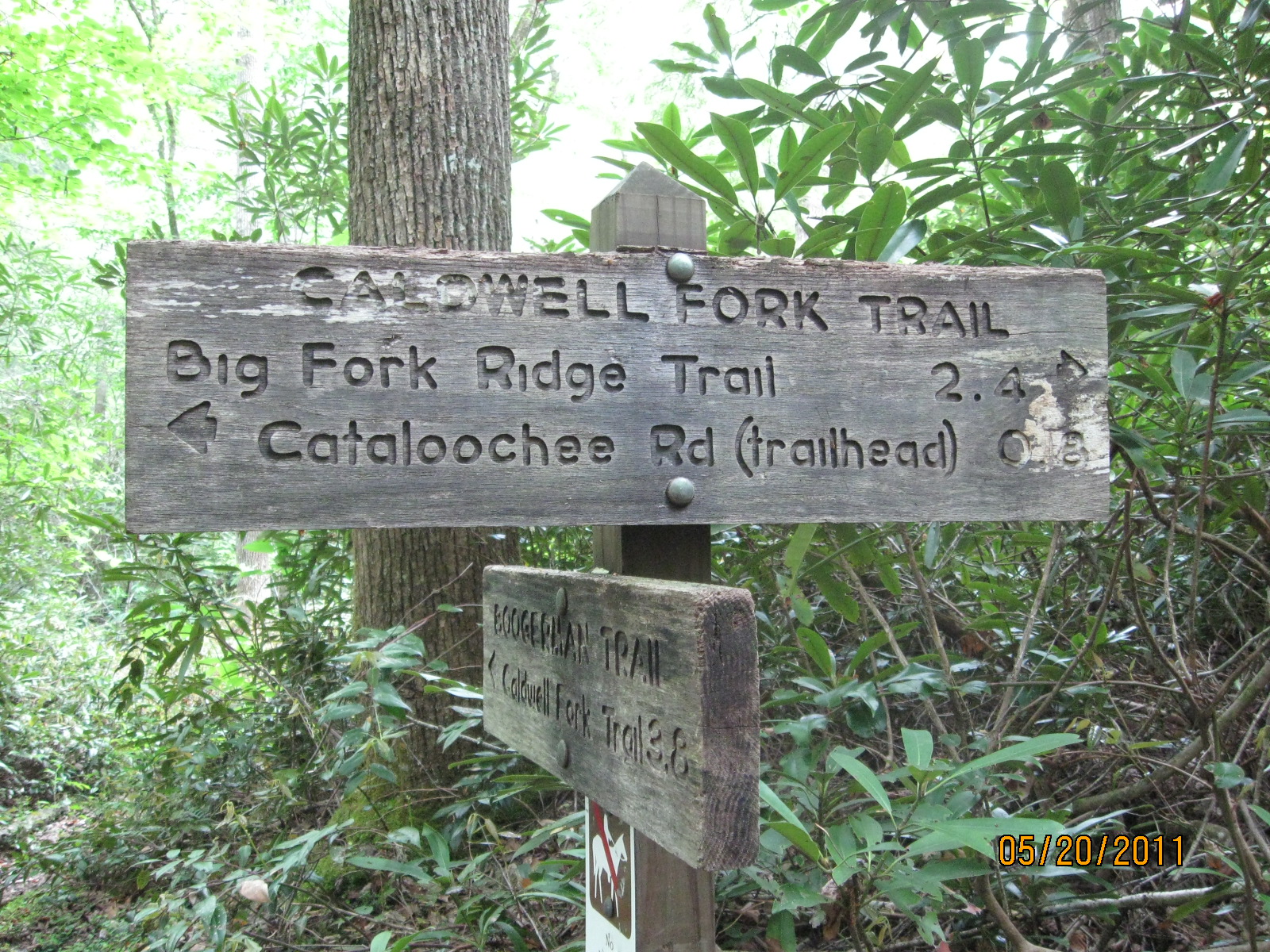
Caldwell Fork Trail trailhead sign.
|
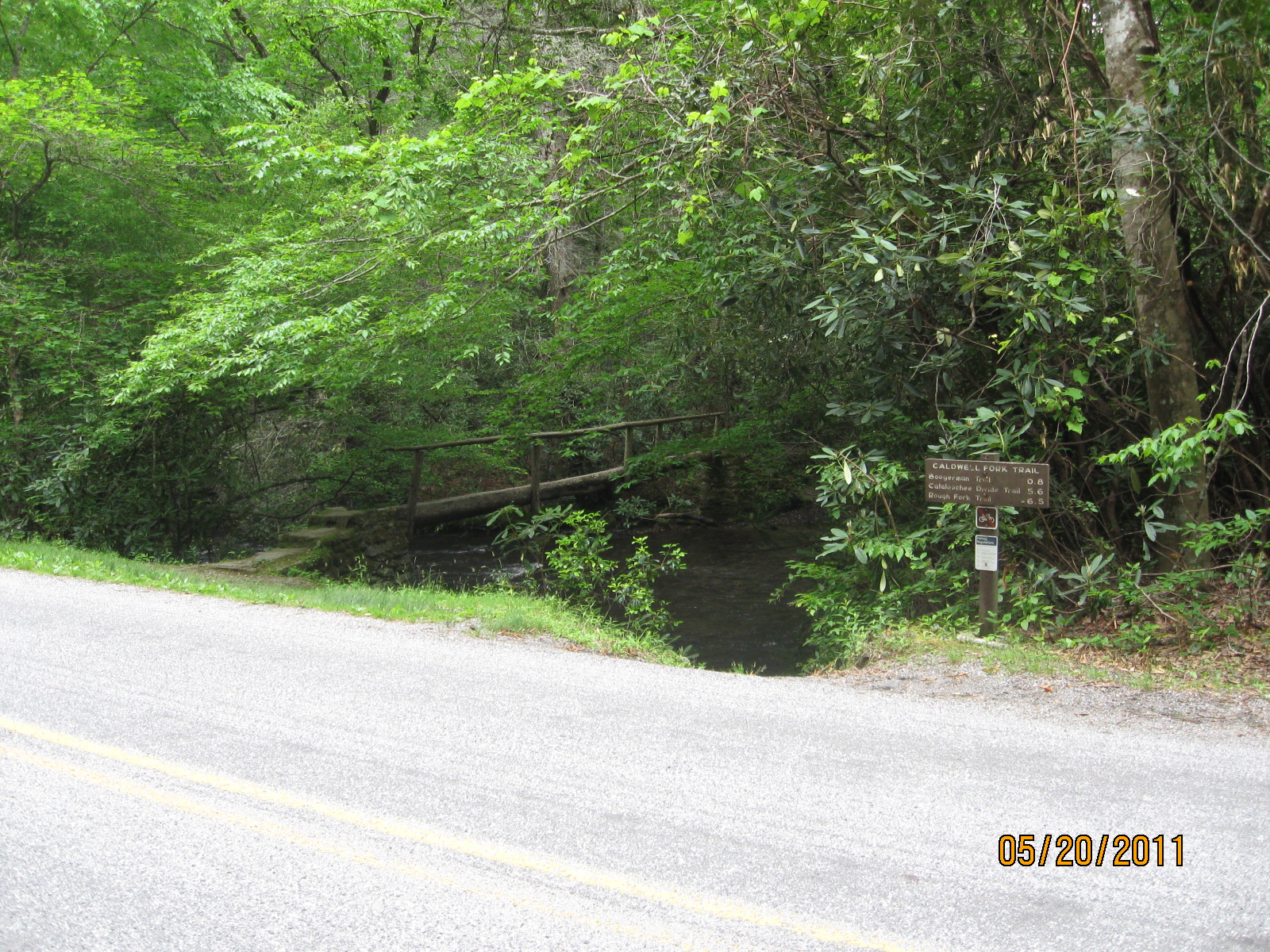
Caldwell Fork Trail trailhead, broad view.
|
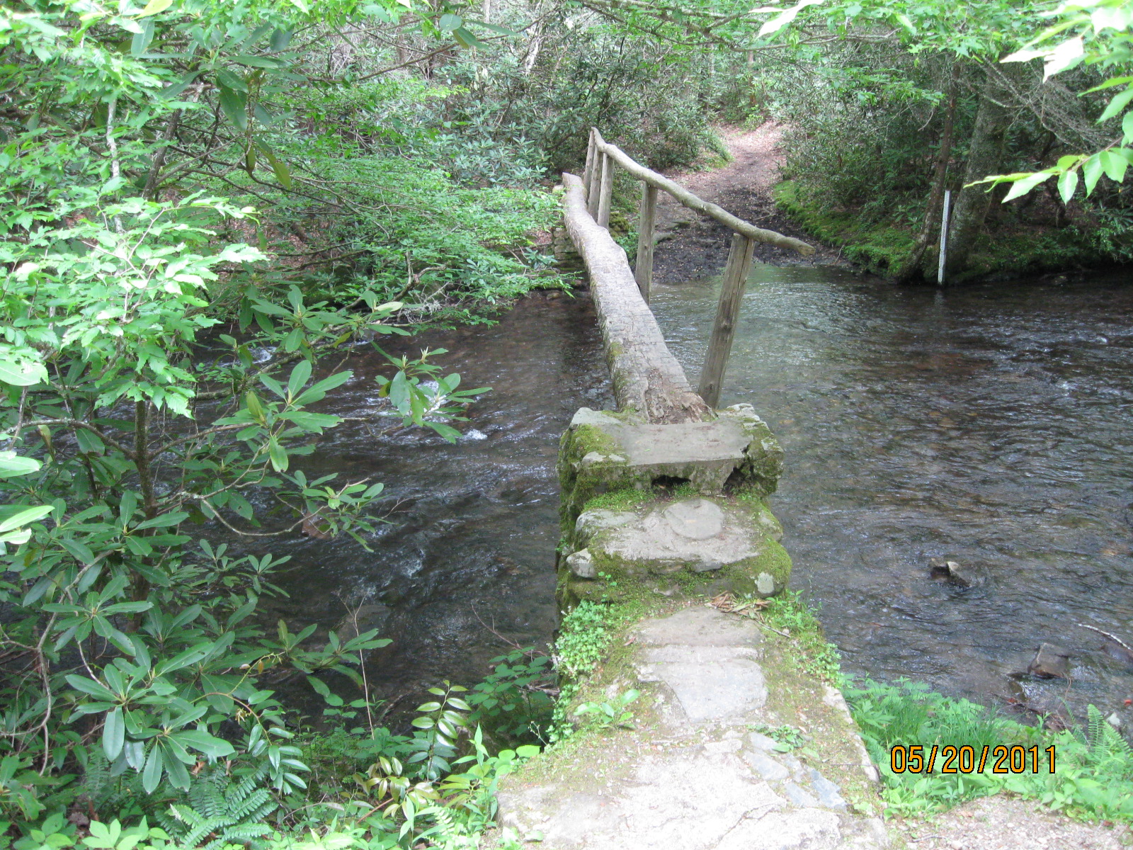
Caldwell Fork Trail, log bridge at the trailhead.
|
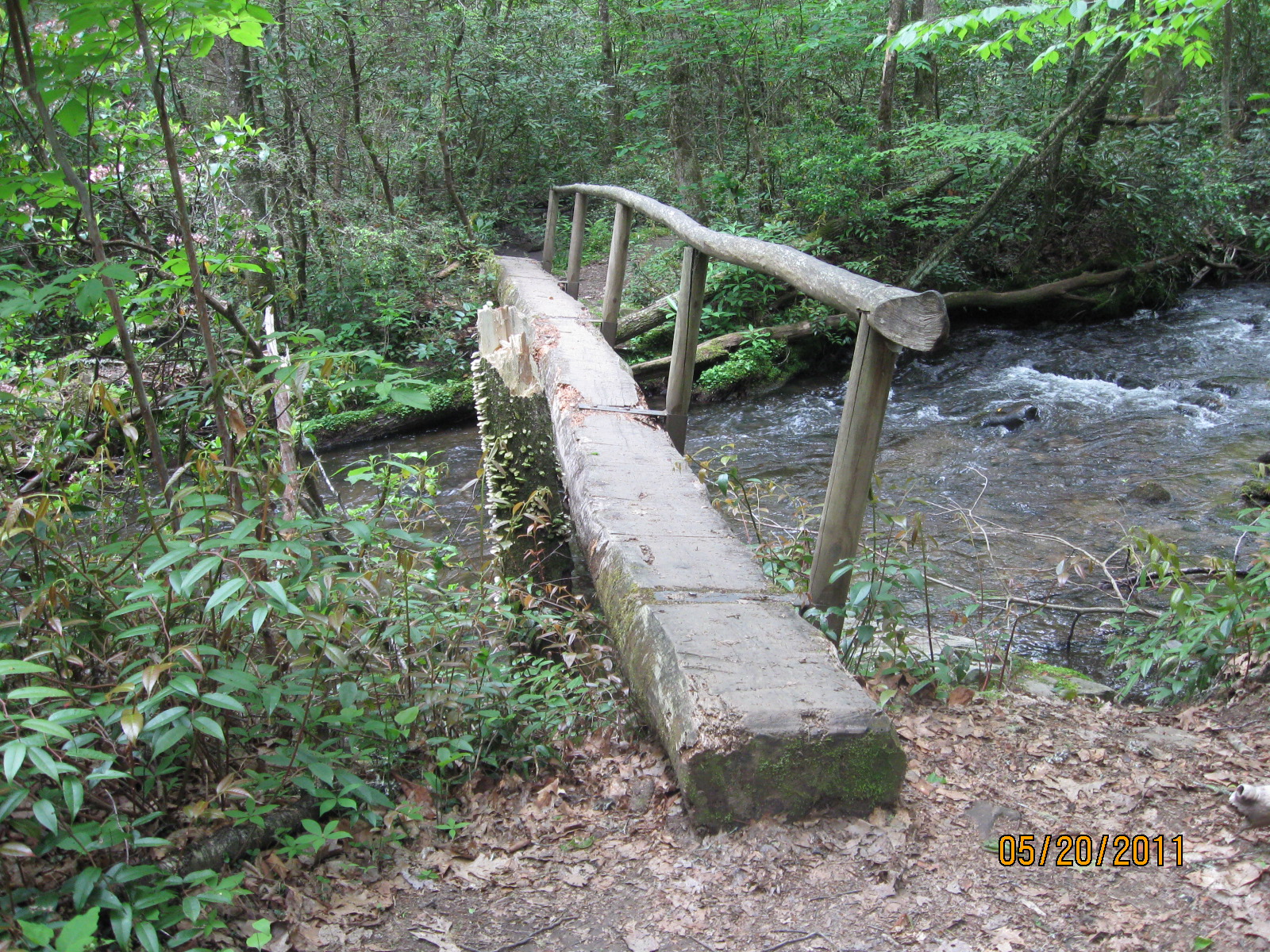
Caldwell Fork Trail, one of many stream crossings, all
with a log bridge.
|
|
|
A typical stream crossing on the Caldwell Fork Trail. There are numerous
such crossings on the trail, all of which have a log bridge.
|
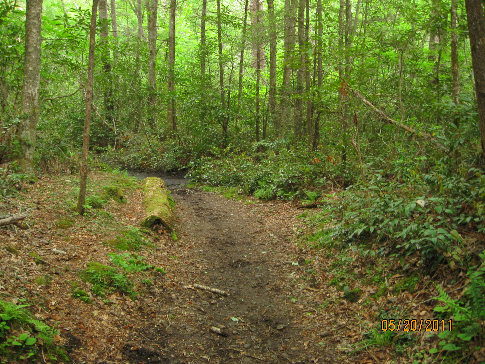
Standing at the first junction with the Boogerman trail,
looking back the way I came.
|
|
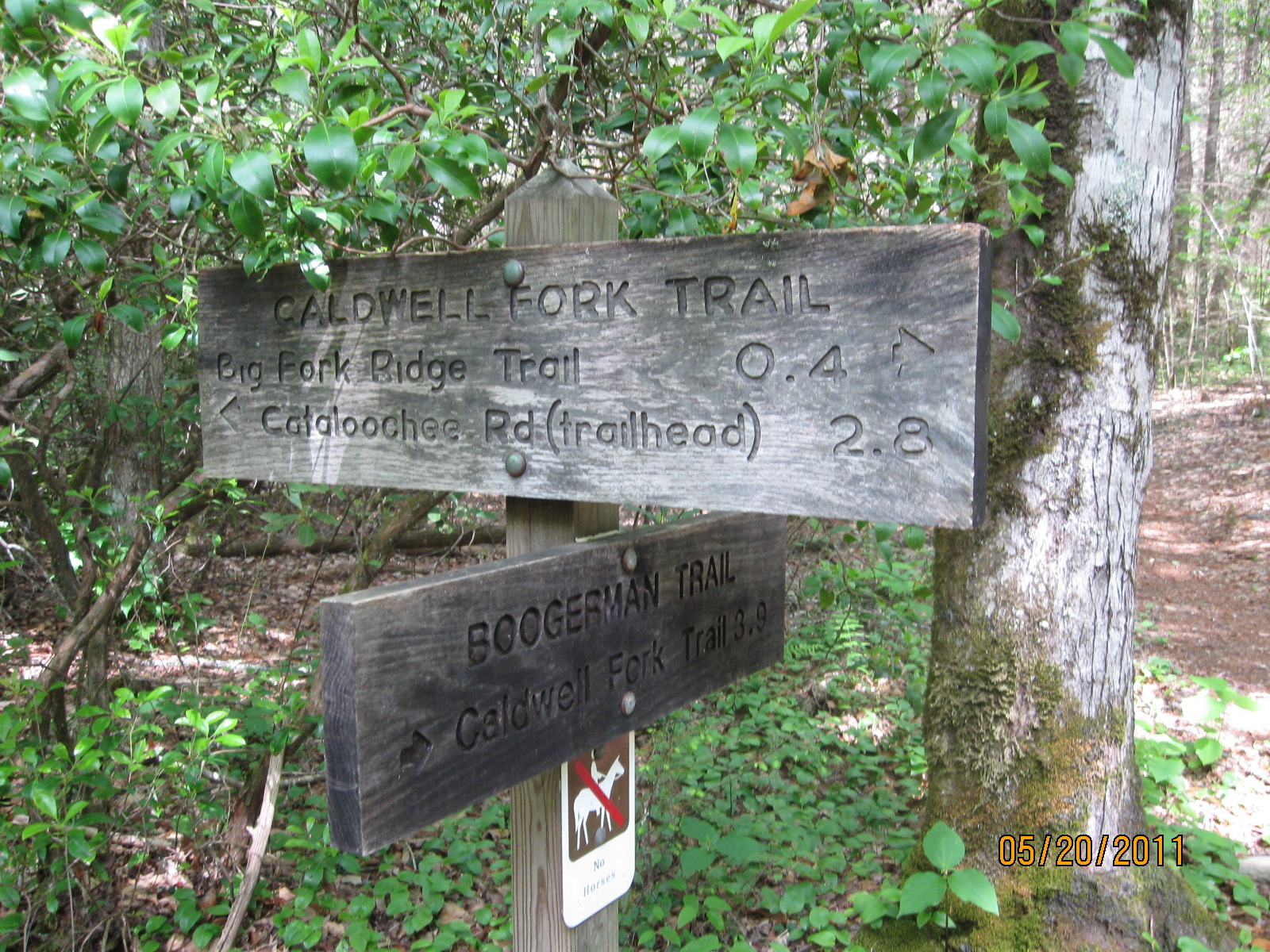
Sign for first junction with Boogerman trail.
|
Sign for first junction with Boogerman trail.
|
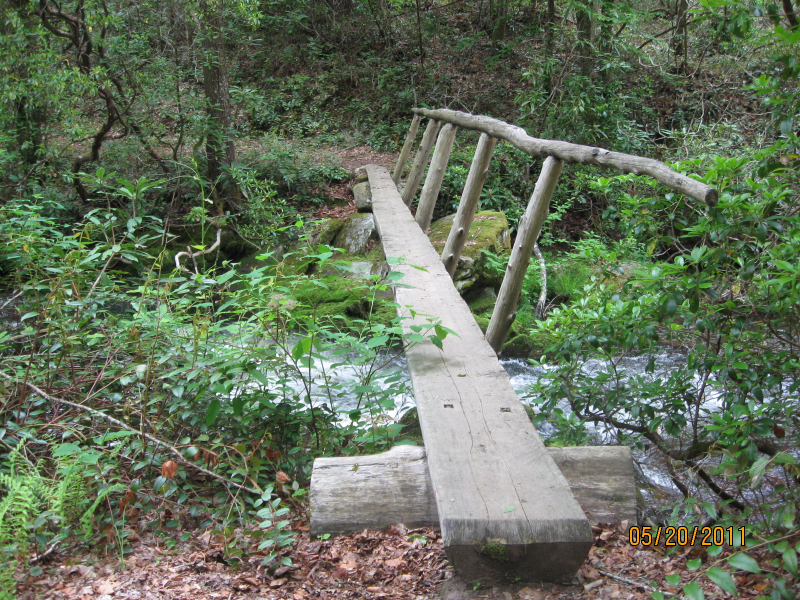
Another typical stream crossing with a log bridge.
|
|
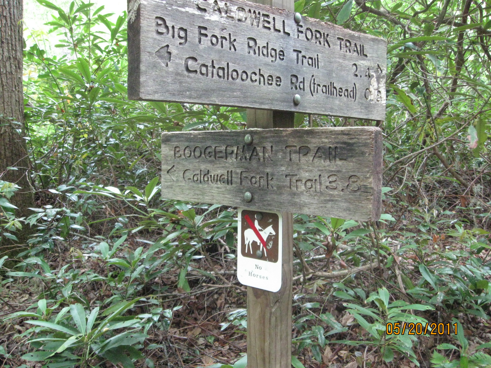
Second junction with the Boogerman trail, 2.8 miles from
the Caldwell Fork Trail trailhead.
|
|
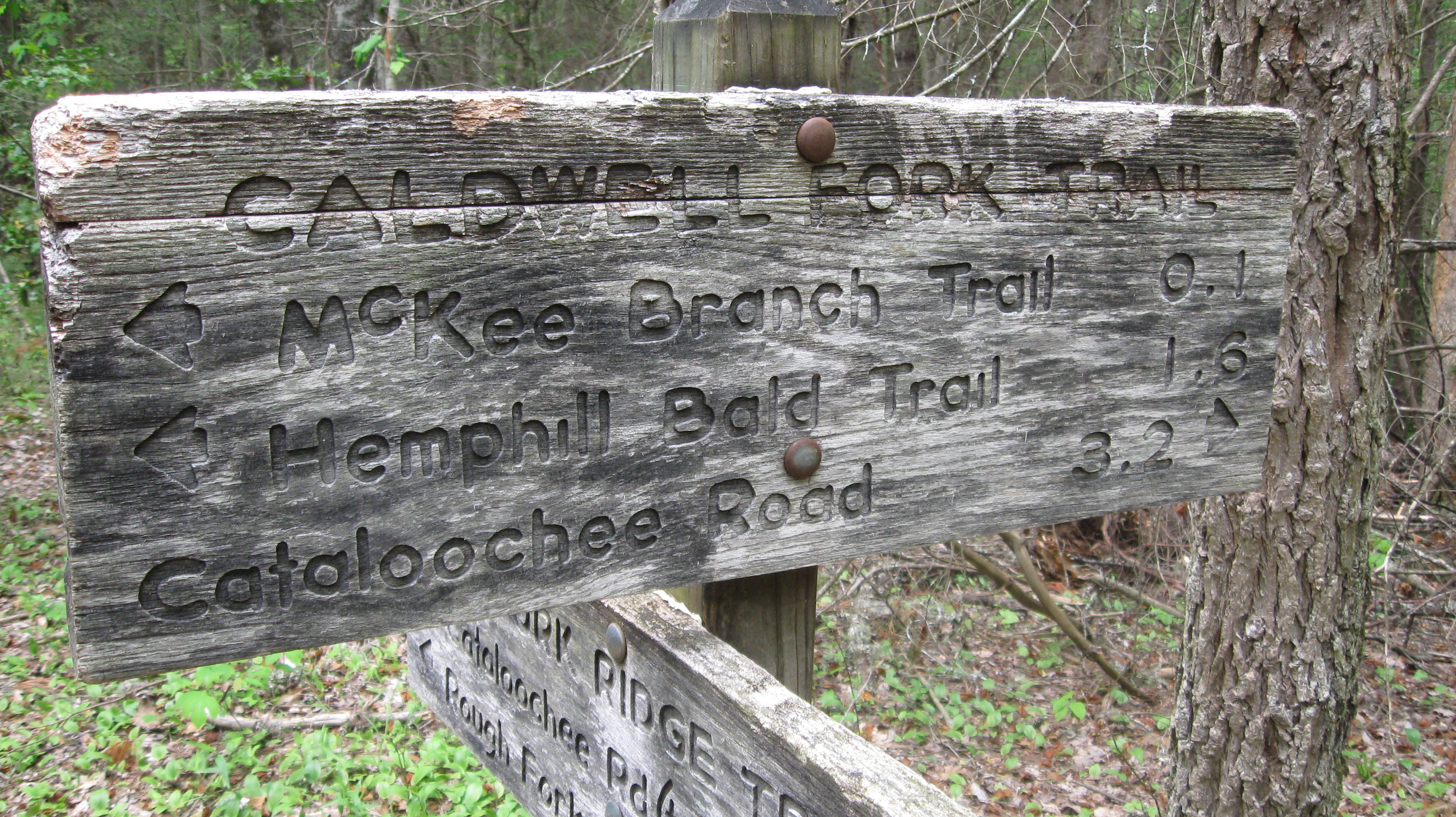
Close up of the trail sign at the junction with the
Big Fork Ridge Trail, 3.2 miles from the Caldwell Fork Trail Trail trailhead.
|
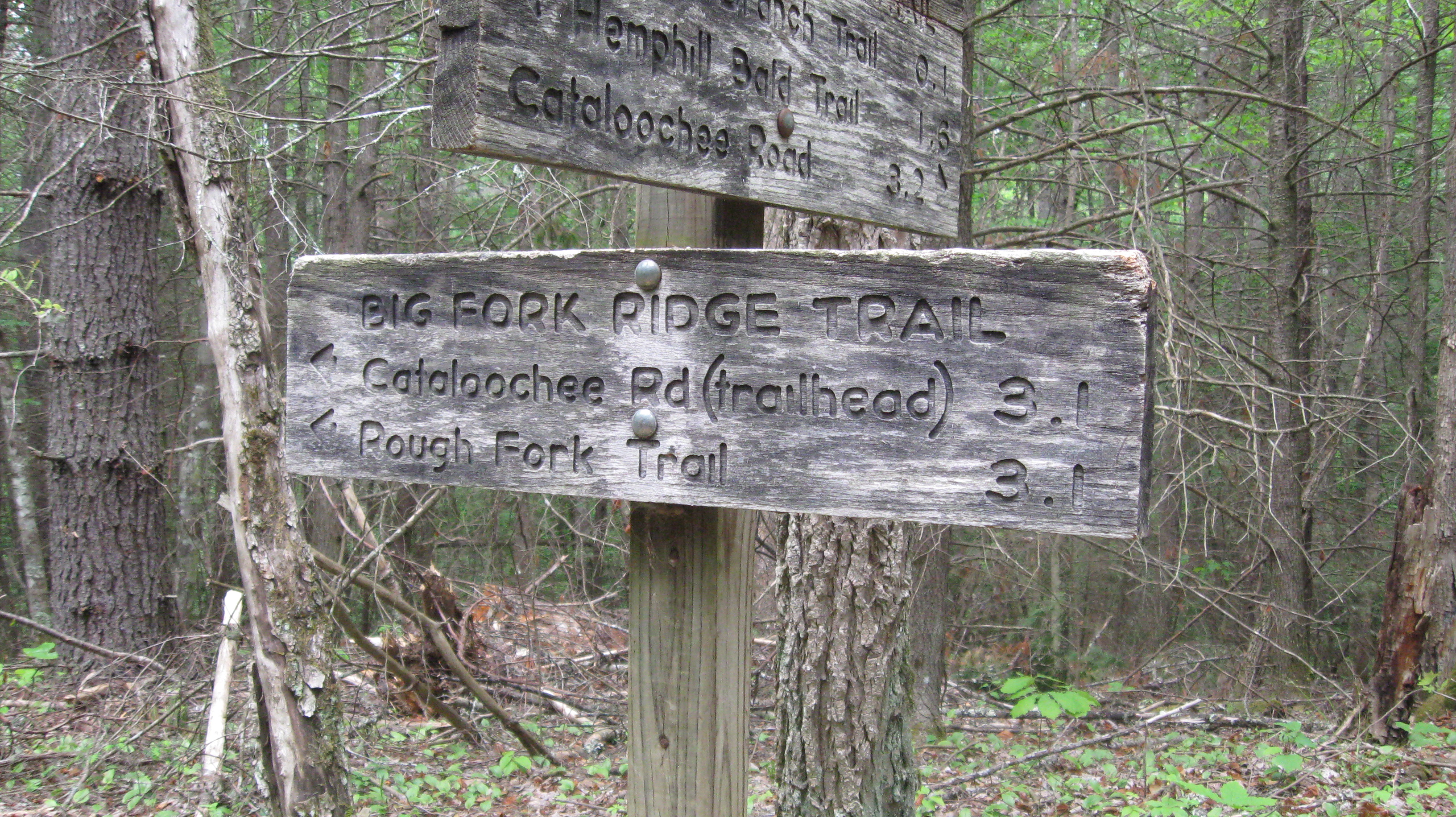
Close up of the trail sign at the junction with the
Big Fork Ridge Trail, 3.2 miles from the Caldwell Fork Trail Trail trailhead.
|

Trail sign at the junction with the
Big Fork Ridge Trail, 3.2 miles from the Caldwell Fork Trail Trail trailhead.
|
|
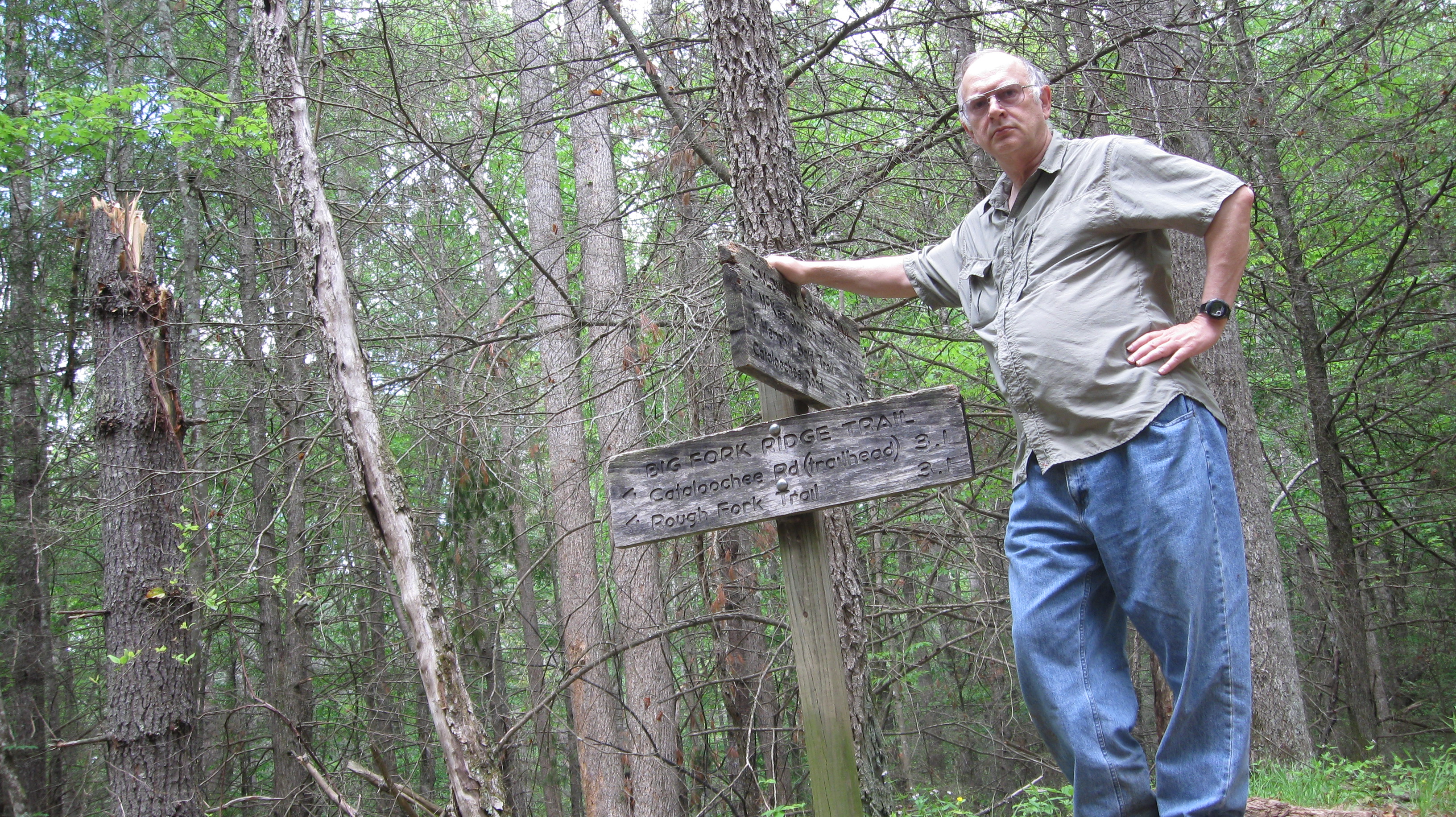
Self portrait at the junction of the Caldwell Fork Trail and
the Big Fork Ridge Trail, taken using a timer with my camera sitting on the
ground and pointed upwards, there being no other place for it to sit.
|
This page last edited on 11 Jun 2011.