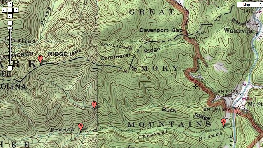
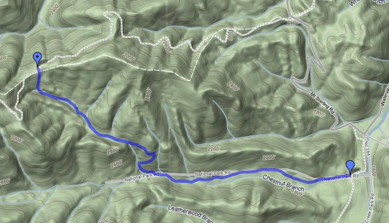
I hiked 2.1 miles from the Chestnut Branch Trail trailhead to the
intersection with the Appalachian Trail. The round trip
was 4.2 miles.
|
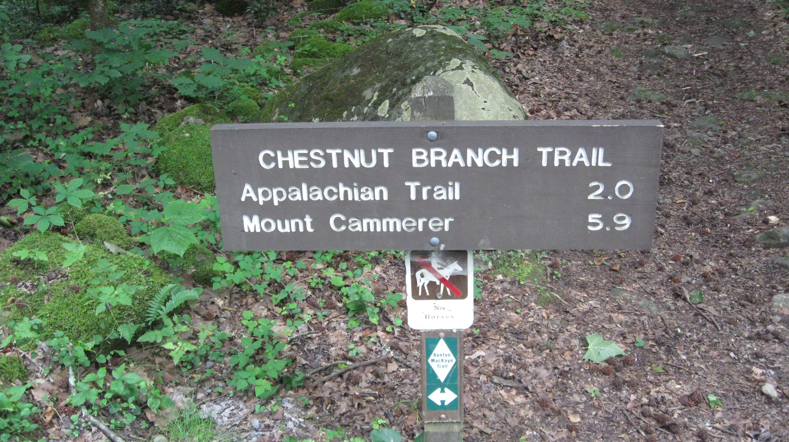
Here is my standard photograph of the trailhead sign.
|
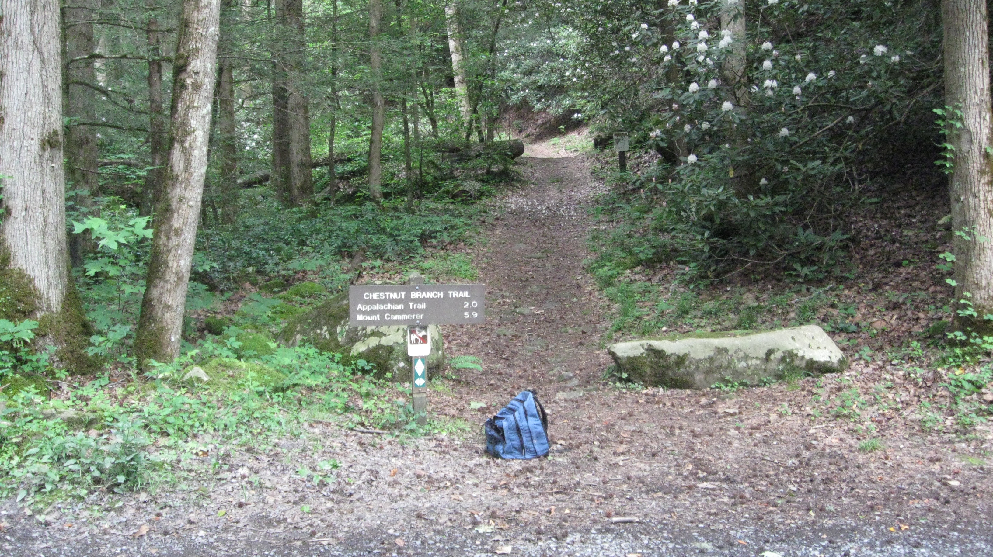
Another standard photograph of the trailhead sign, not a close up this time.
|
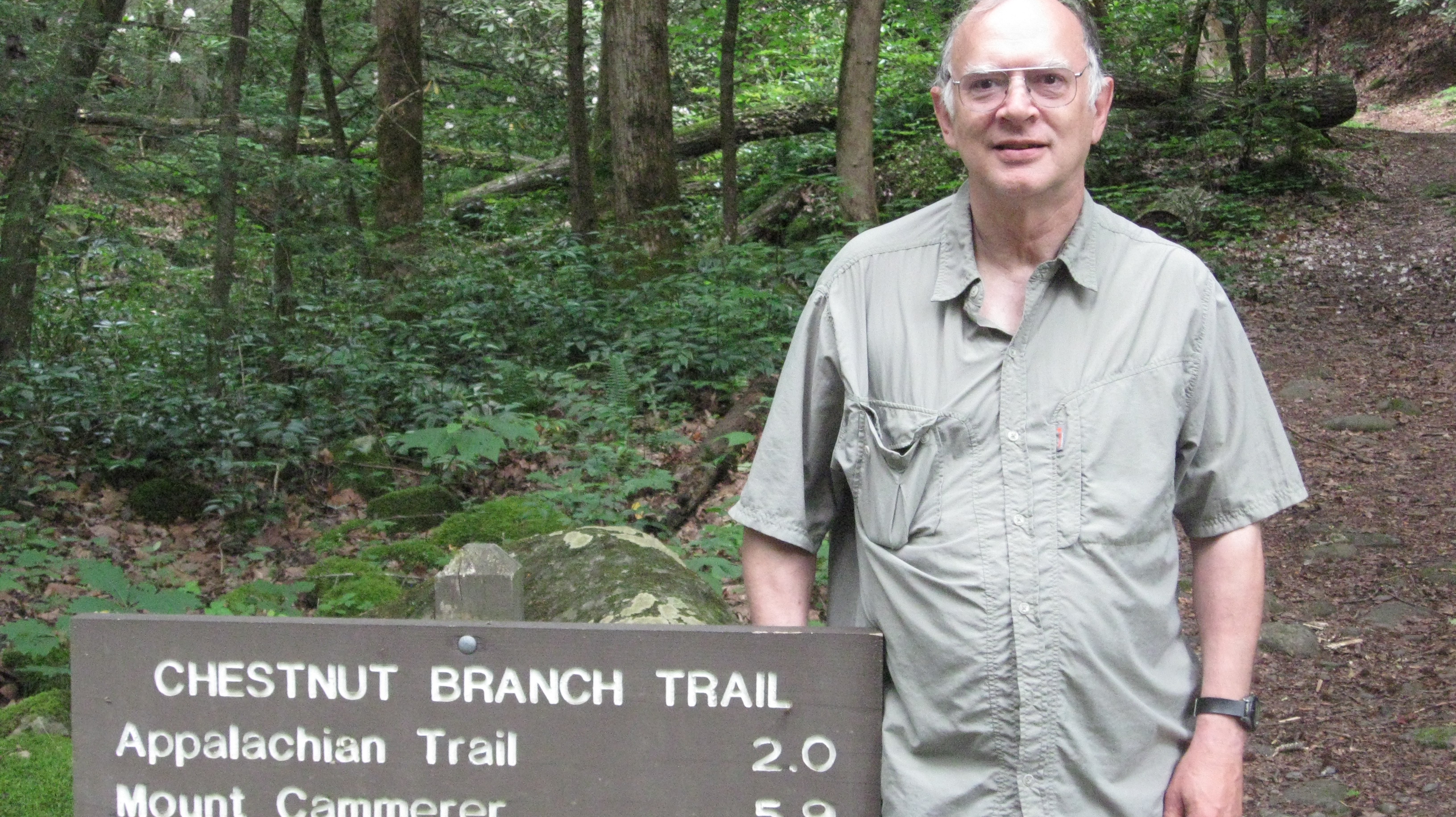
A photograph of me at the trailhead sign.
|
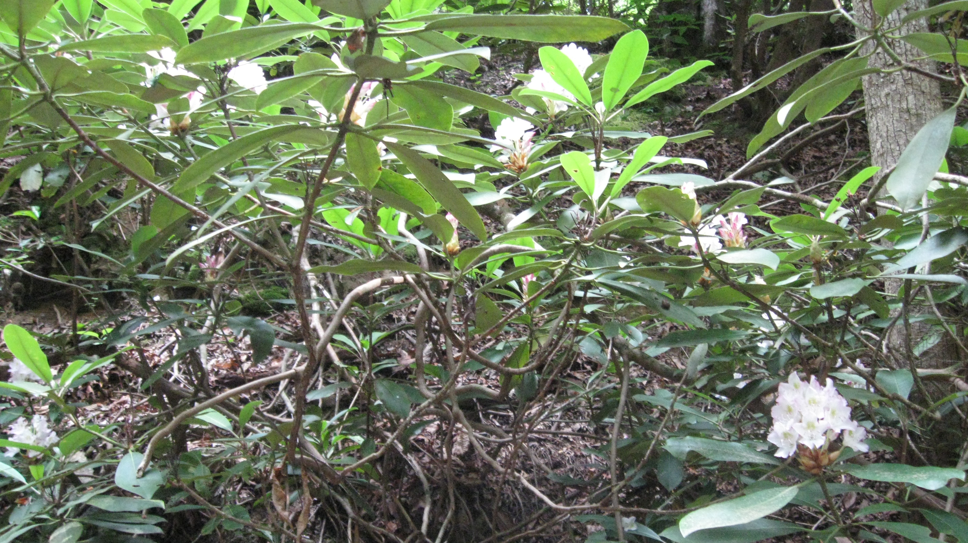
Some rhododendron along the trail.
|
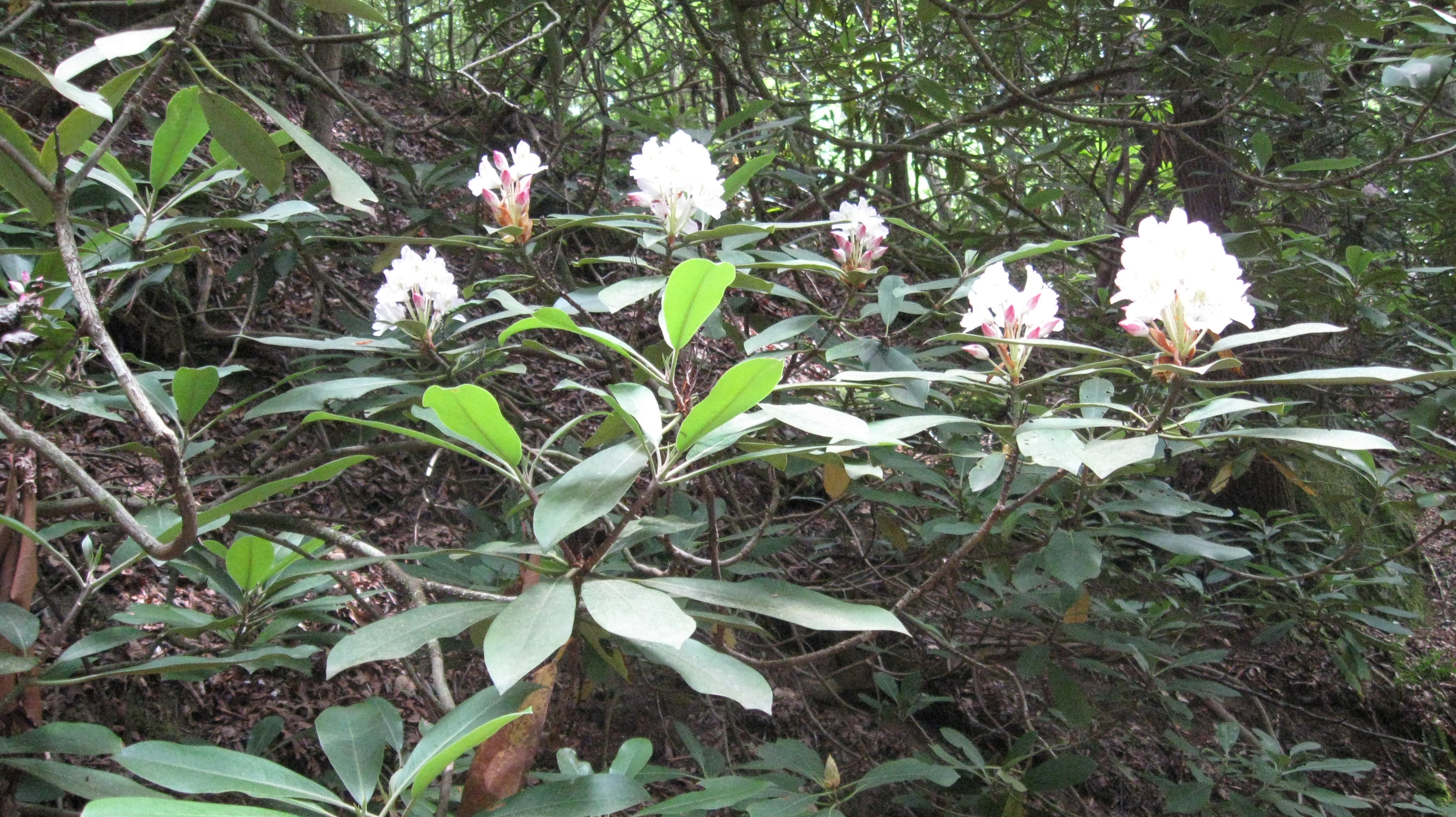
Some more rhododendron along the trail.
|
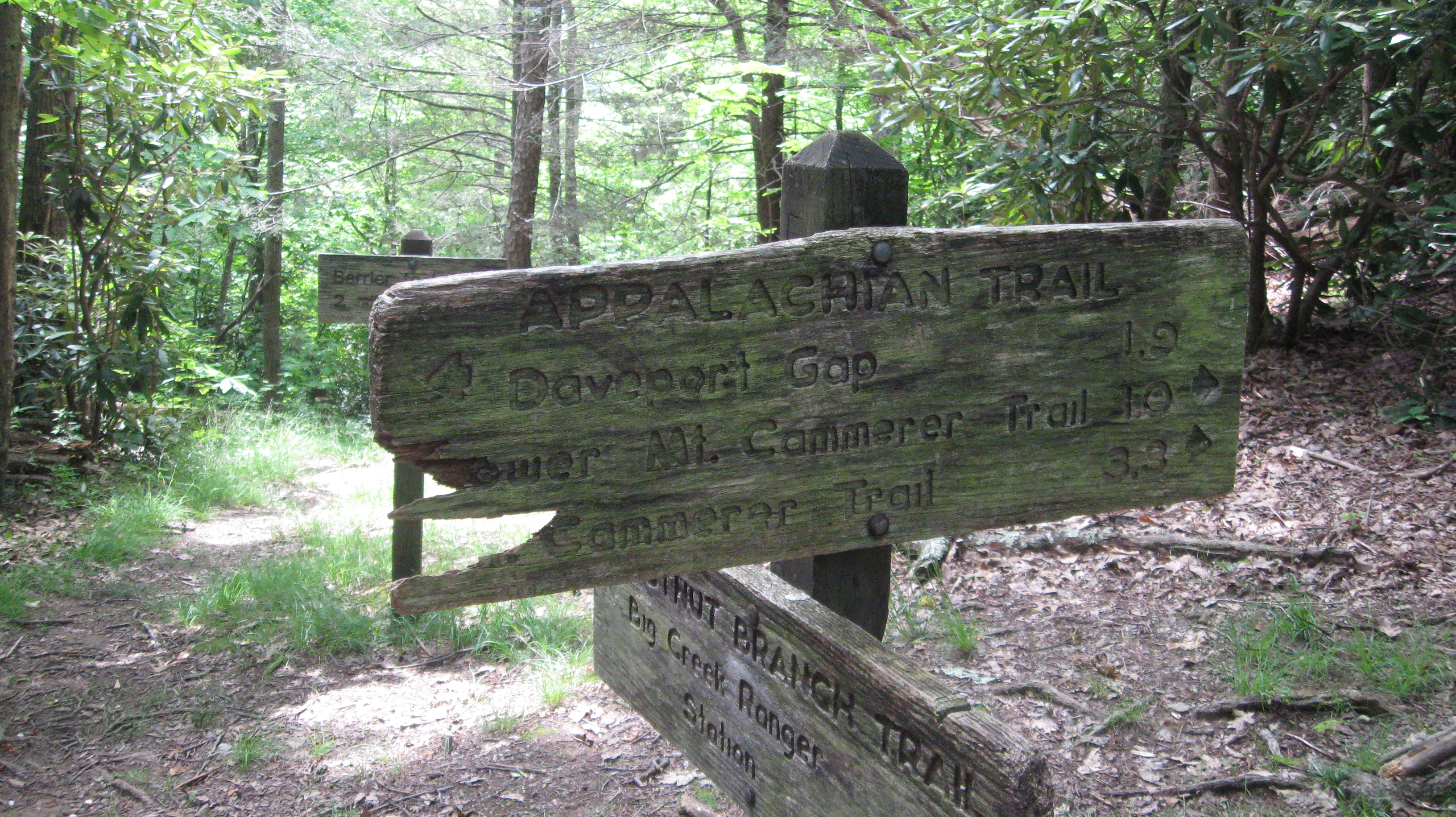
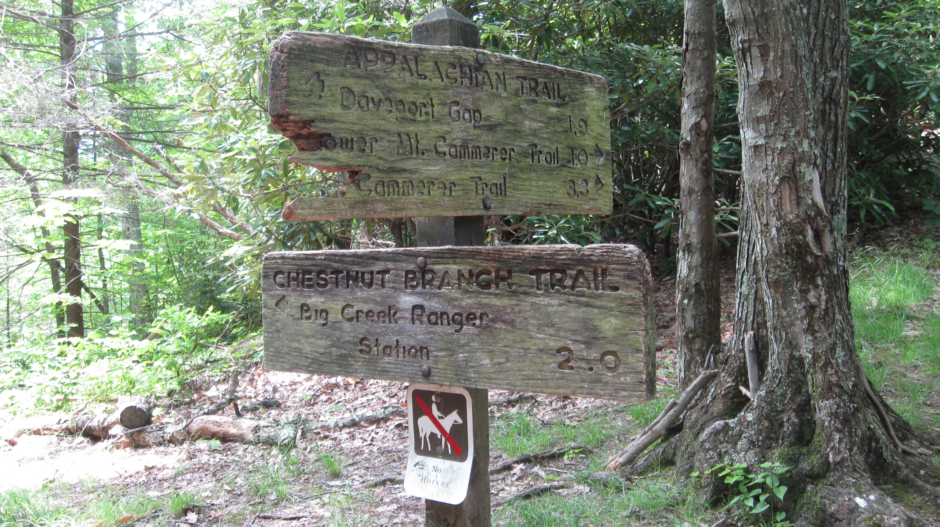
A close up of the trail marker at the end of the trail. This is where the
Chestnut Branch Trail intersects with the Appalachian Trail. This
view focuses on the sign for the Appalachian Trail,
and the sign is in a bit of disrepair.
|
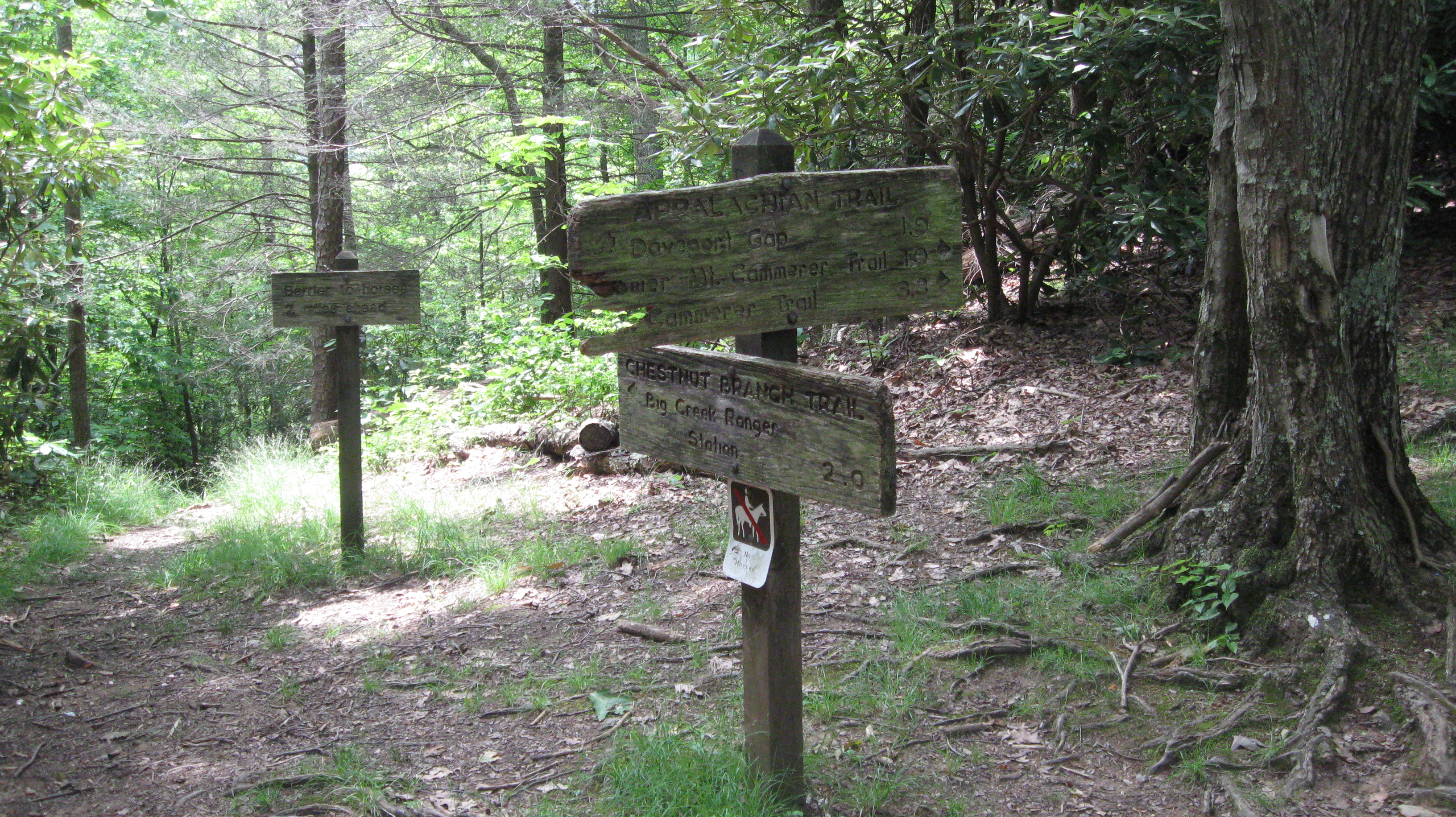
Another view of the trail marker at the end of the trail
showing a bit more perspective.
This is where the
Chestnut Branch Trail intersects with the Appalachian Trail.
The sign for the Appalachian Trail is in a bit of disrepair. The
second sign a little further away is not really a trail
direction sign. Rather, it's a warning that there's a horse
barrier down at the trail head.
|
Another view of the trail sign at the
terminus of Chestnut Branch Trail at the intersection
with the Appalachian Trail. This view focuses on the sign
for the Chestnut Branch Trail.
|
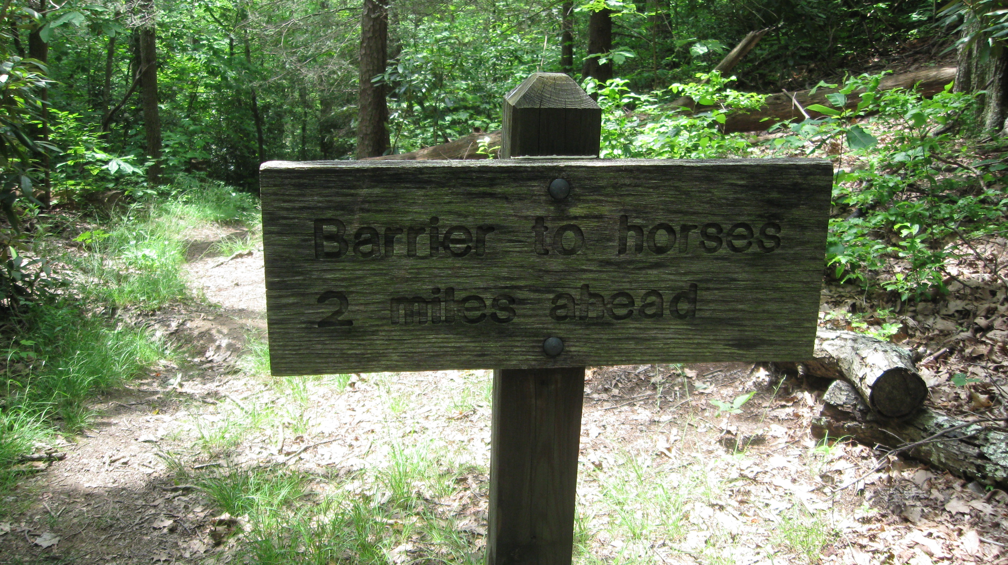
A close up of the sign about the horse barrier. The barrier
is at the bottom of the ridge at the trailhead for the
Chestnut Branch Trail. I'm not sure why the sign is needed at the
top of the ridge unless horses are allowed on the Appalachian Trail at
this point, and I don't think they are.
|
|
This page last edited on 30 Oct 2012.