Jerry Bryan's Web Pages

Fall Creek Falls Trail


Fall Creek Falls trail, trailhead at the inn

1.8 miles from the Inn to the top of the falls


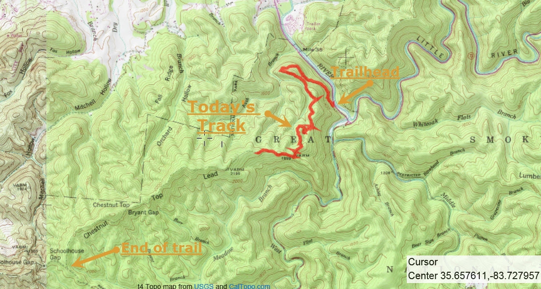
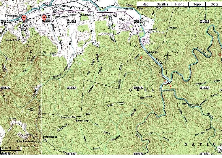
The trailhead (red T) is across the highway from the parking lot at the Townsend Y (red Y, both the highway and the river have a Y).  The trailhead is about 100 yards downstream from the Y itself.  To reach the Y, enter the park at the Townsend entrance to the park and proceed about a mile to the Y.  The highway follows the Little River upstream to the Y, and the river will be to your left.

The Y is the junction of the Little River and Laurel Creek.  The roads follow the river and the creek.  Turning right at the Y follows Laurel Creek upstream towards Cades Cove.  Turning left at the Y follows the Little River upstream towards Gatlinburg.  The Y is a popular swimming, tubing, and sunning spot.

Immediately downstream from the Y, the river and the road go through a gap in the ridge.  The parking lot is in the gap along the river.  I'm not exactly sure what the ridge is called.  It's not really a very high ridge.  To the east of the gap, there is a trail called the Round Top Trail that follows the ridge.  But Round Top is just one little knob; it's not the whole ridge.  To the west of the gap, the ridge appears to be called Fall Creek Falls Lead, and Fall Creek Falls itself is just one knob along Fall Creek Falls Lead.

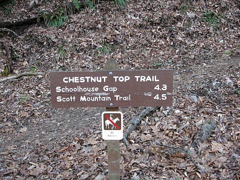
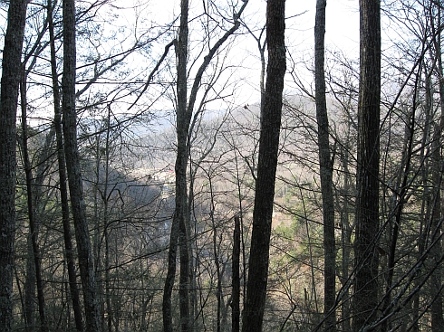
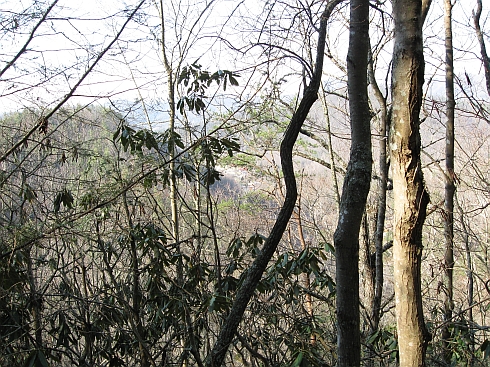
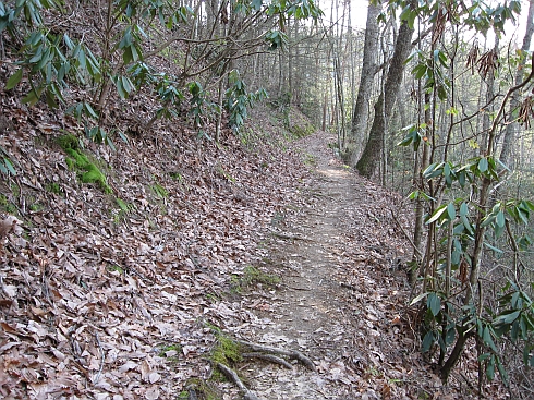
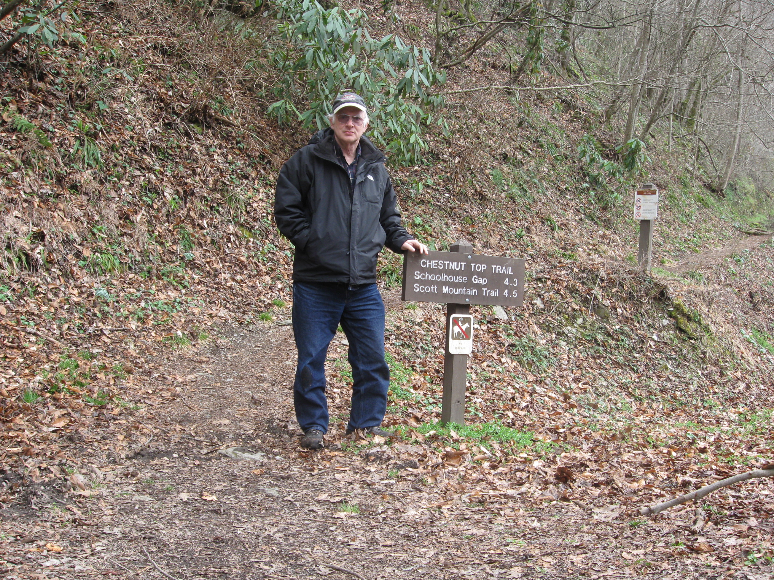
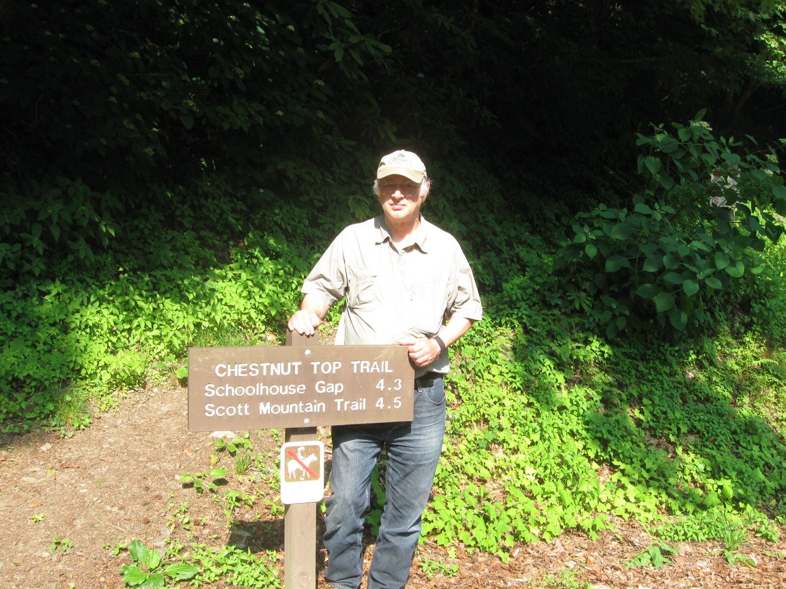
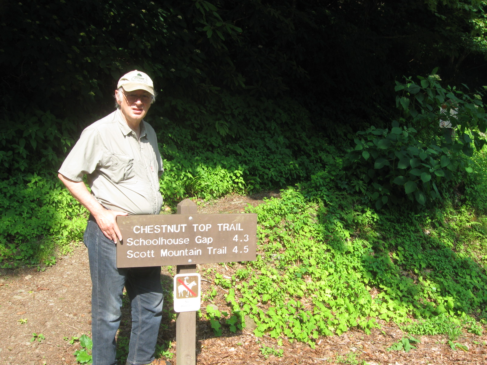
The trail begins in the gap by following the river downstream towards Townsend, climbing up to the top of the ridge as it goes.  You can hear the river for quite a while.  The climb is about a 1000 foot gain in altitude, but it's an easy climb.  The trail reaches an overlook (red X), at which point it makes a sharp left turn away from the river and away from Townsend.  The trail has no choice except to make the left turn.  It's the end of the gap, and there is no more ridge in that direction.  After the left turn, there is a little more climbing and the trail follows the crest of Fall Creek Falls Lead the rest of the way.  There are a number of good views, to your left towards the park and to your right towards Townsend.  The trail is entirely inside the park, but there are places where the trail is very close to the park boundary.  The trail descends slightly at Bryant Gap, where it is especially close to the park boundary.  Shortly after Bryant gap, the trail circles around Fall Creek Falls itself and ends at its intersection with the Schoolhouse Gap Trail.  From the intersection, it's about 0.2 mile to your right to the park boundary and trailhead for the Scott Mountain trail, and it's about 2.0 miles to your left to the Schoolhouse Gap trailhead on Laurel Creek Road.

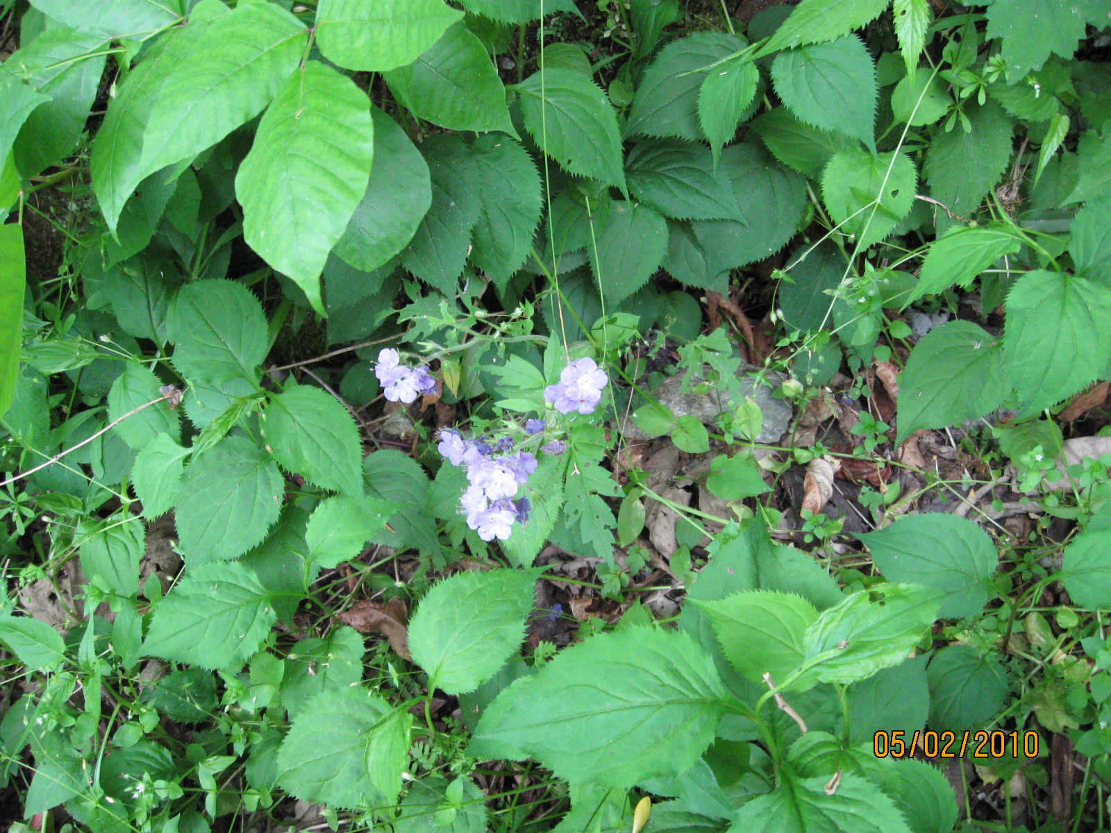
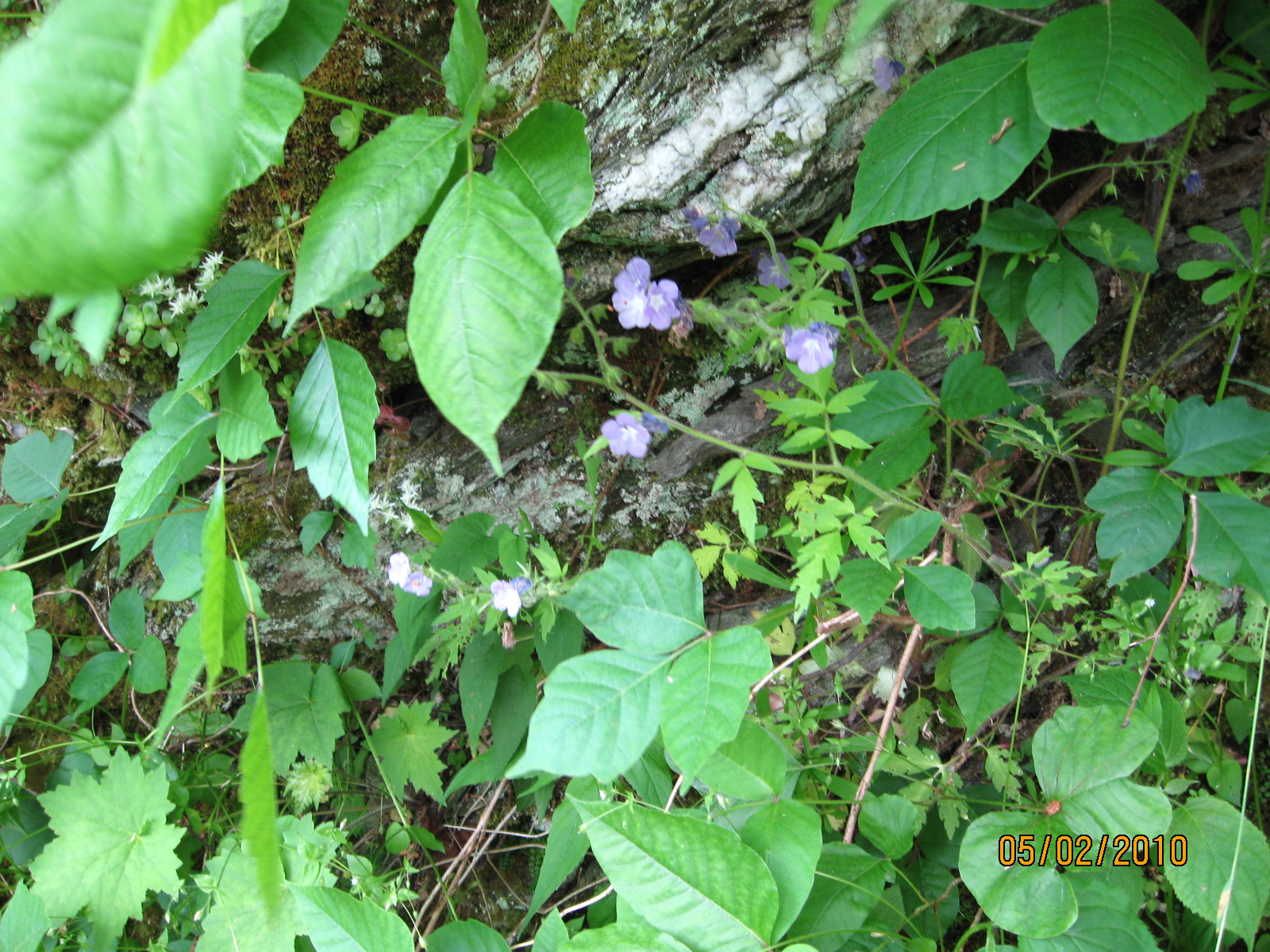
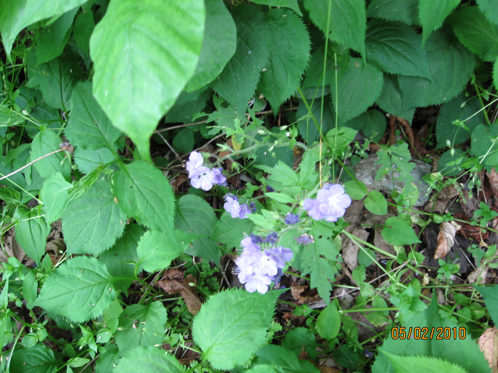
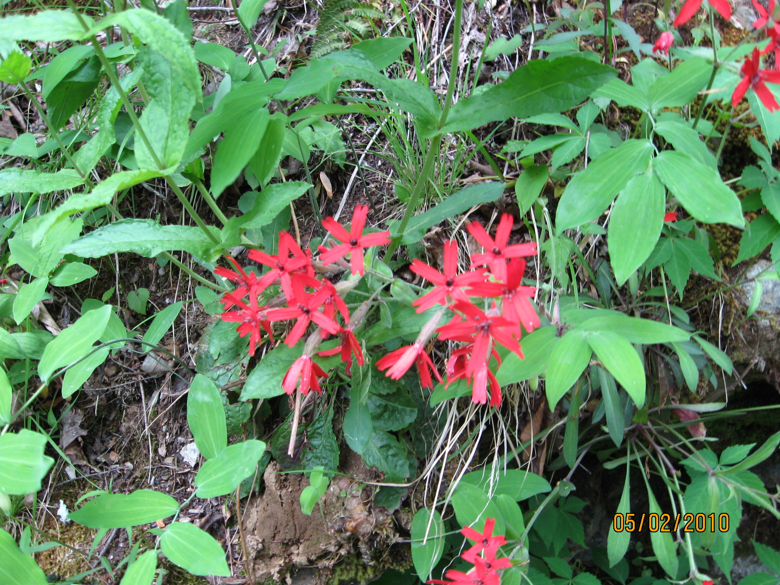
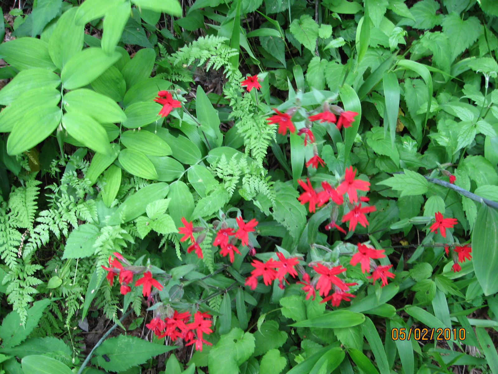
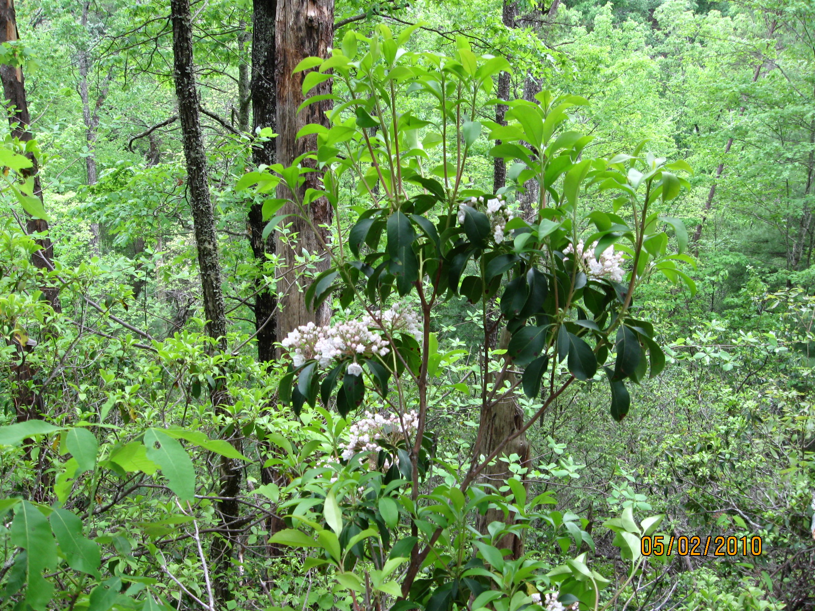
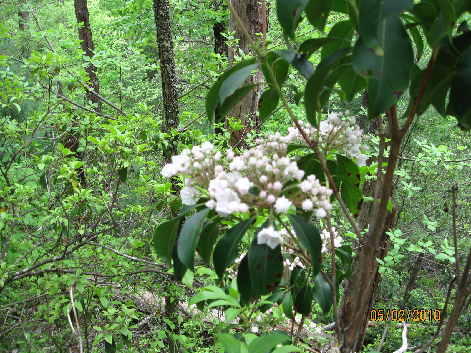
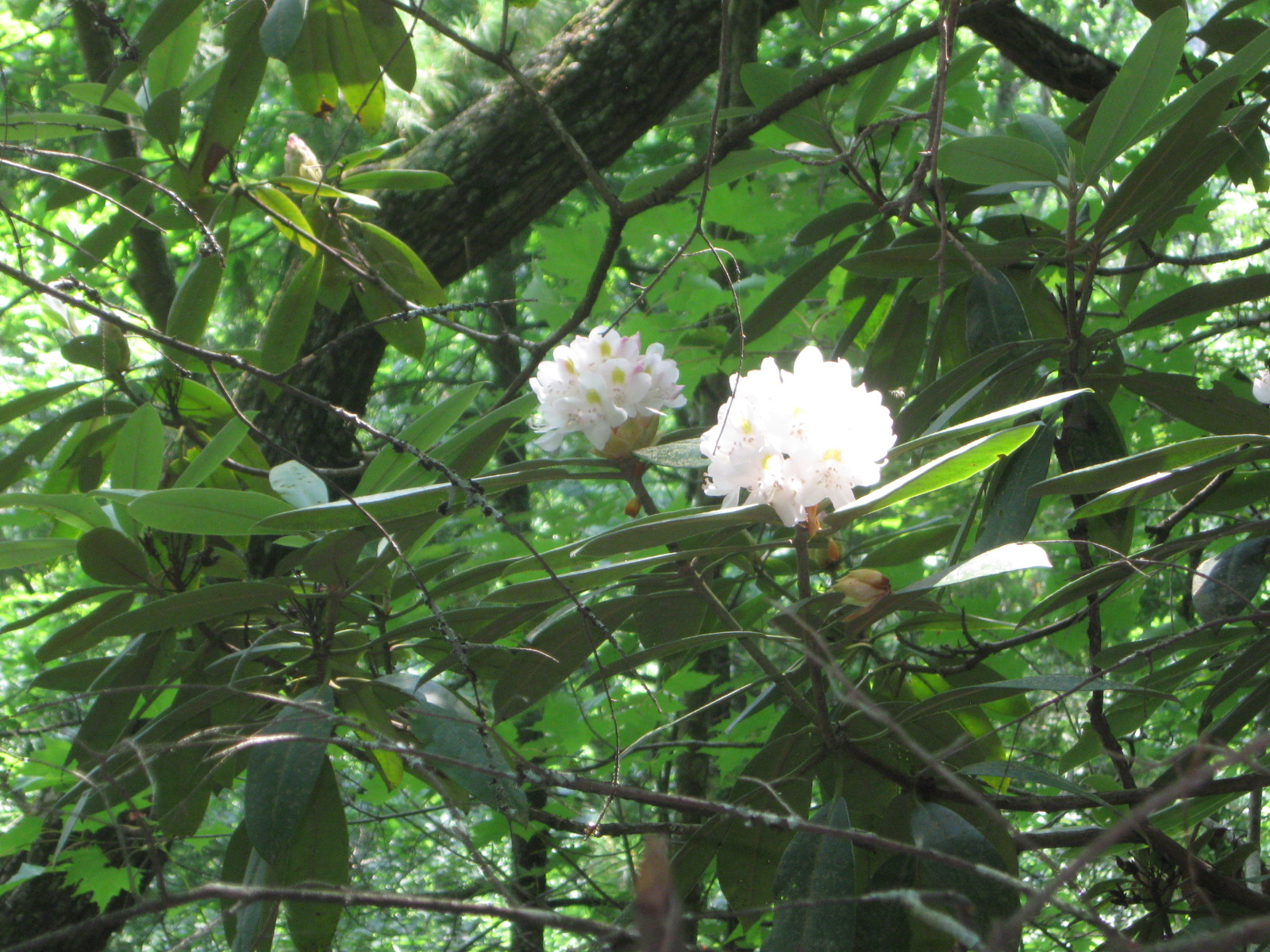
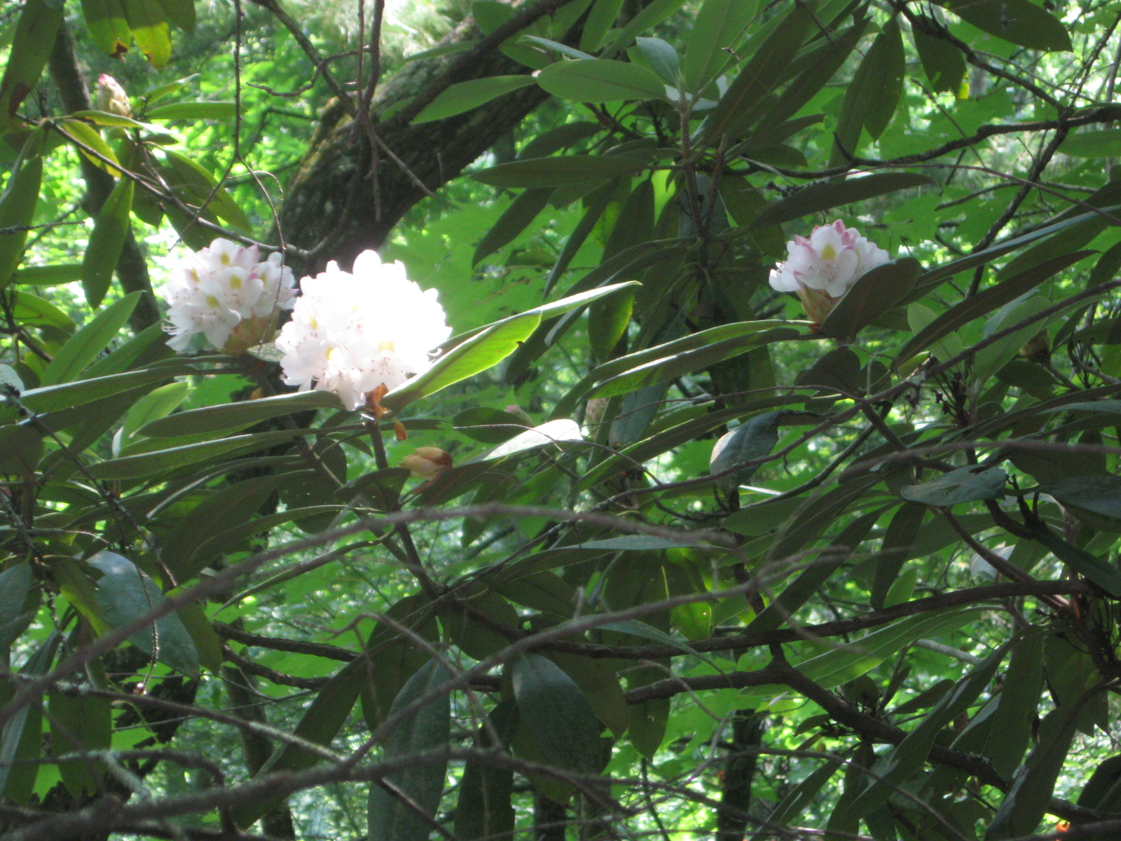
The Fall Creek Falls Trail is known for its wildflowers.  But other than the flowers, it's not a particularly noteworthy trail.  Nevertheless, I especially like this particular trail when I don't have much time because it's so easy to get to and because it's very short.


27 Oct 2007, 9.0 miles

This is the only time I've done the entire trail.  I'm sure I took some photos, but thus far I have not been able to find them.

The trail is listed as 4.3 miles one way, which would make an 8.6 mile round trip.  But the end of the trail is only 0.2 miles from School House Gap.  So I went the extra 0.2 miles to the gap (0.4 miles round trip), for a total hike of 4.5 miles one way and 9.0 miles round trip.


7 Mar 2009, 3.0 miles

It was warm and sunny (mid 70's).  It's unusual to be so warm so early.  Indeed, the lows were below 20 degrees less than a week ago.

I was short on time, so I only went about 1.5 miles up the trail.  It was too early for the wildflowers, but I did find one lonely flower at the beginning of the trail (see below).

From the trailhead, looking towards the Y.  The trailhead is behind me.  The parking lot is across the highway to the left of the picture.  The Little River is further to left, down below the parking lot, and out of the picture.

A close up of the aforementioned wildflower.

Fall Creek Falls trailhead sign.

Beginning of the trail, with the trail rising from the road to go up the side of the ridge.  More of the parking lot is visible to the right of the road, and the river is slightly visible to the right of the parking lot.  The highway and river are now to my right because I'm facing the trail rather than having the trailhead to my back.

View from first overlook down towards Townsend.  This is the place where the trail makes a sharp left turn to finish the climb to the crest of the ridge and to follow the crest of the ridge the rest of the way.  In the summer, Townsend is not visible due to heavy foliage.  I could see Townsend fairly well this early in March, but it did not show up well in the picture.

A second attempt to get a picture of Townsend, a few feet further up the trail than the first attempt.  Townsend still does not really show up.

A view of the trail after the trail makes its sharp left turn.  The trail still climbing, but it's not far to the crest of the ridge.

Back down at the beginning of the trail, the only wildflower I found anywhere on the hike.  The flower is at the base of a small rock wall at the edge of the trail.


2 May 2010, 3.0 miles

I don't have any notes about the weather, but I remember a warm spring day.  I went on that particular day primarily for the wildflowers, and those were the only pictures I got.  I didn't get a selfie at the trailhead or anything like that.


23 Mar 2013, 4.4 miles

It was cool but not really cold, and gray but not really raining.  Spring in 2013 has been very cold and gray so far, almost like it's still winter.  There were no wildflowers out on the trail, and in a normal year there would have been some out on this trail already.

This was my first hike in the mountains of the year, and was just a short hike to get out into the woods.  And really, it was just a short hike to try out my new Garmin hiking GPS that the kids got me for Christmas.  I love it, and it worked great.  It was also the first time to try out my new tripod (see below).

It's surely not obvious from the pictures, but this is the first time I tried out the new lightweight tripod for my digital camera.  It makes it much easier to provide a stable platform to make higher quality photos, and it makes it easier to use a timer on the camera to get into the photos myself.  The track below is from my Garmin GPS.


18 Jun 2014, 4.0 miles

The pictures are of the trail sign, a selfie of me at the trail sign, and rhododendron.

The videos below are of rhododendron.  It was the peak of rhododendron season, but this is not a very good trail for rhododendron.

Fall Creek Falls Trail, Great Smoky Mountains National Park, 18 June 2014 from Jerry Bryan on Vimeo.

Fall Creek Falls Trail, Great Smoky Mountains National Park, 18 June 2014 from Jerry Bryan on Vimeo.


Return to Jerry's Home Page

This page last edited on 25 Apr 2017.