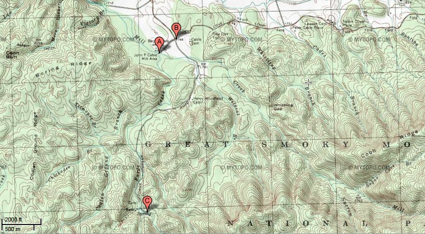
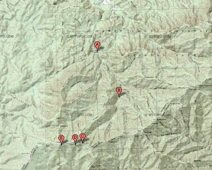
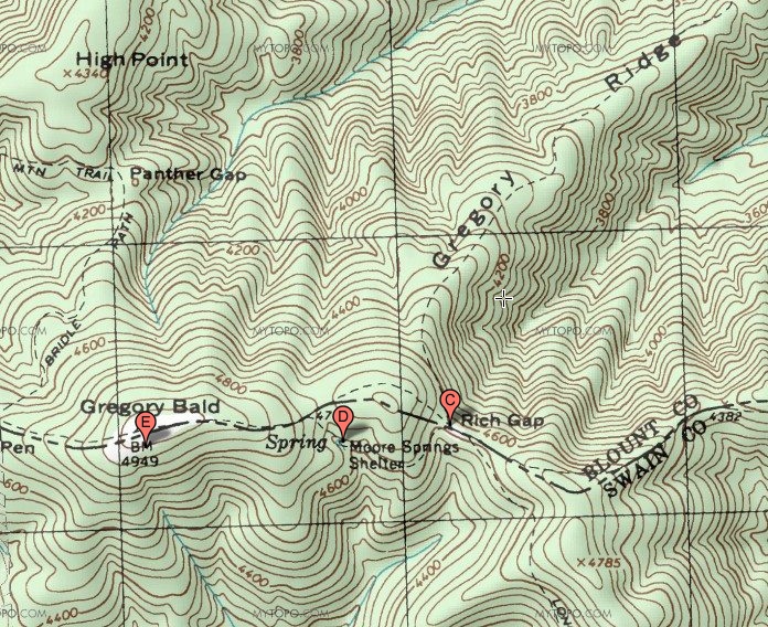
I hiked 4.9 miles from the Gregory Ridge Trail trailhead to the
intersection with the Gregory Bald Trail, and another
0.6 miles from the intersection to Gregory Bald itself, for a total
of 5.5 miles. The roundtrip was 11.0 miles. The original
plan was go go up the Gregory Bald Trail from Parson Branch Road, which
would have been a slightly shorter hike. But Parson Branch Road
was closed due to recent storm damage.
|
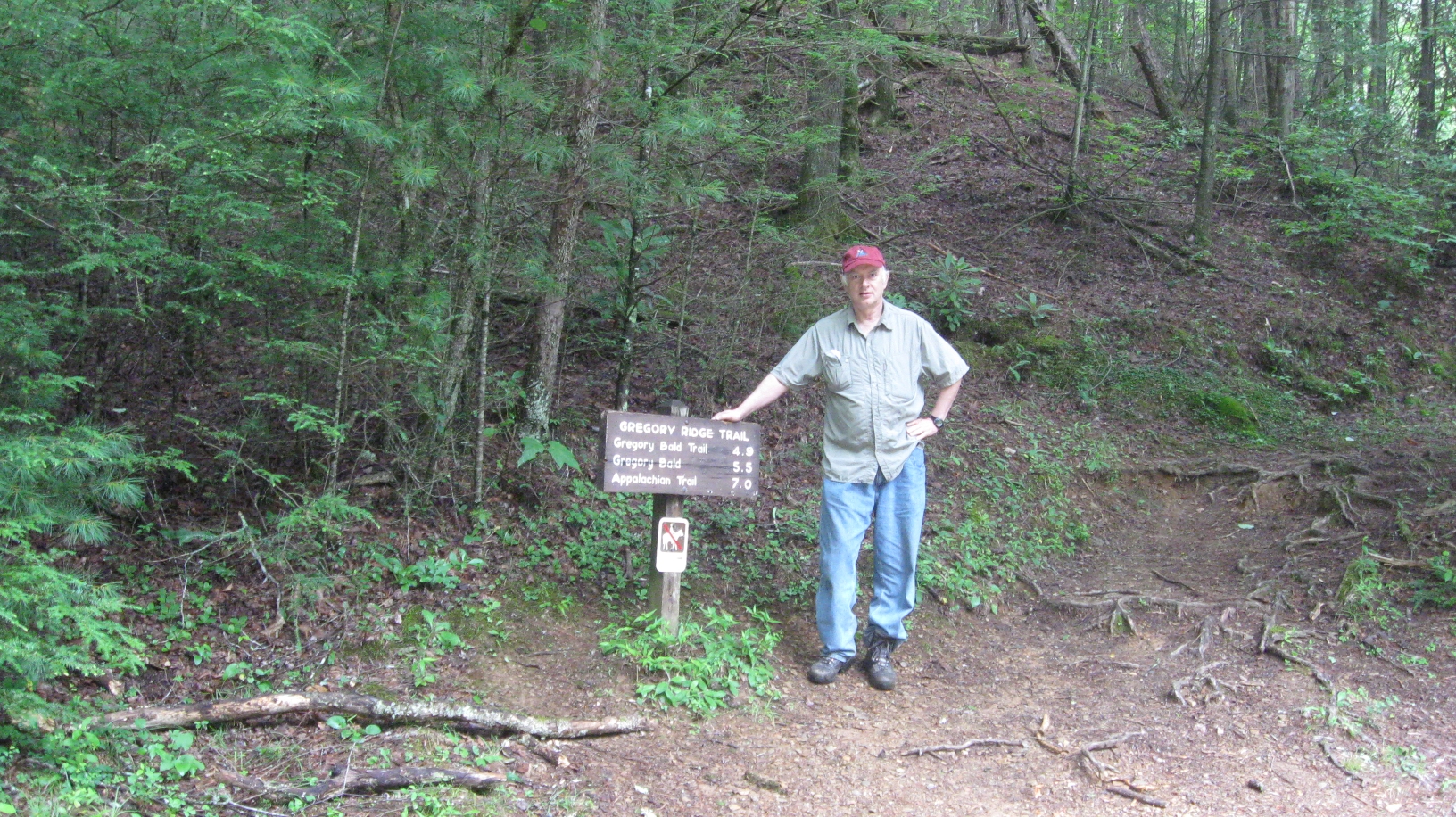
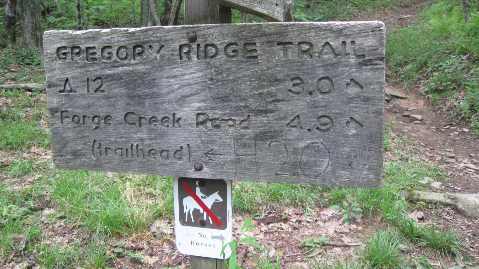
Here is my standard photograph of the trailhead sign.
|
|
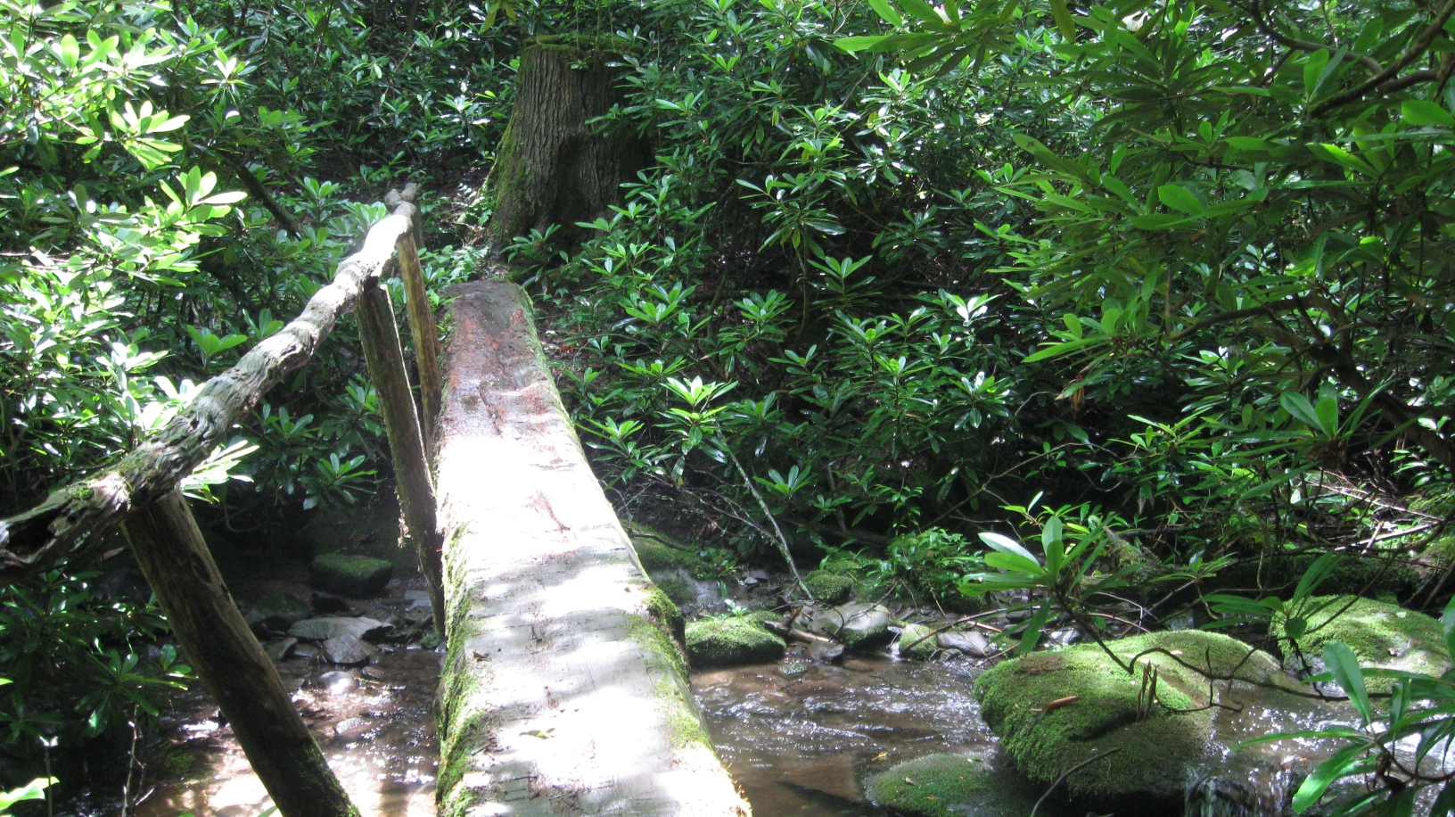
A trail crossing early in the trail.
|
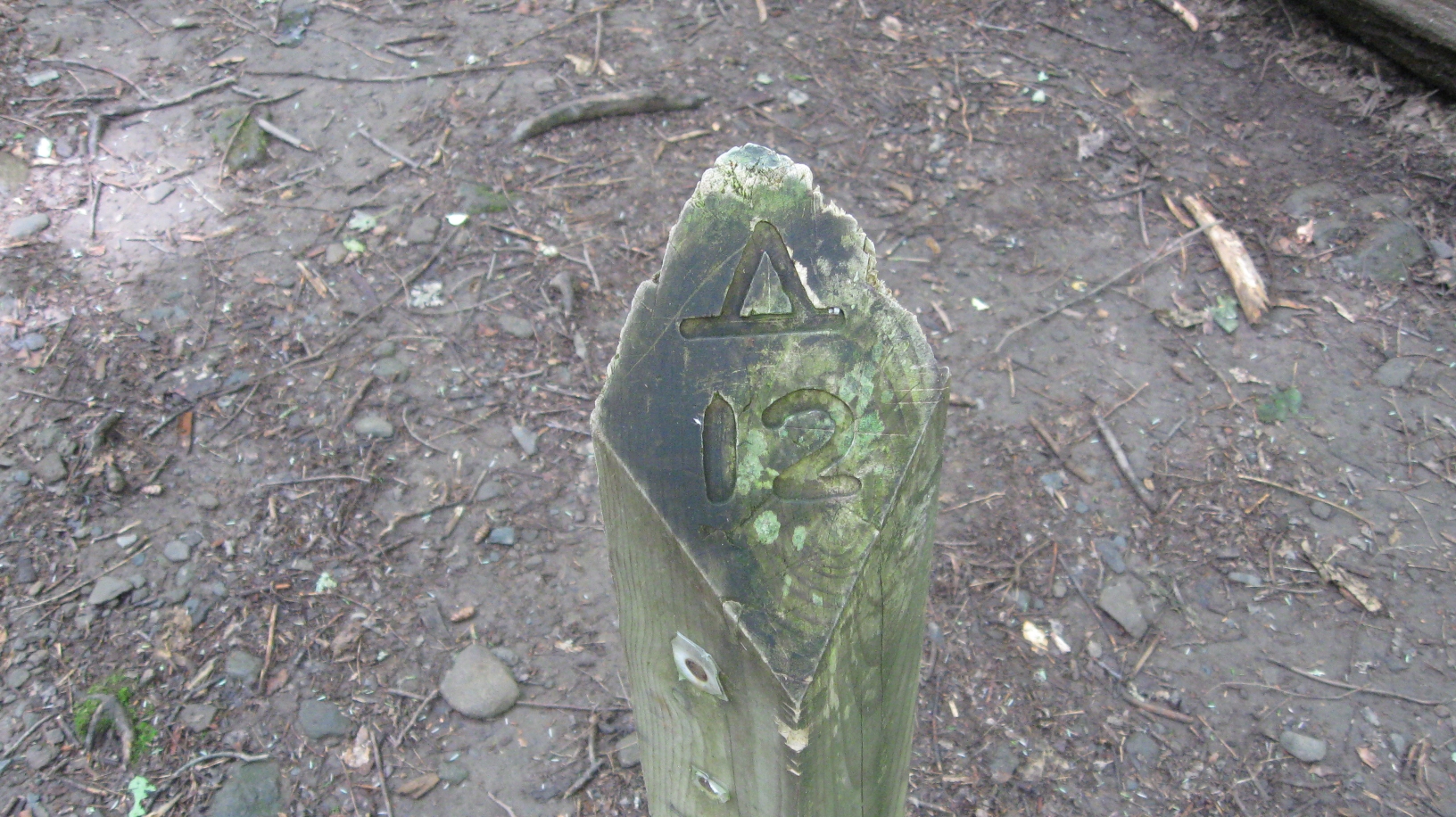
The trail marker for back country campsite #12.
|
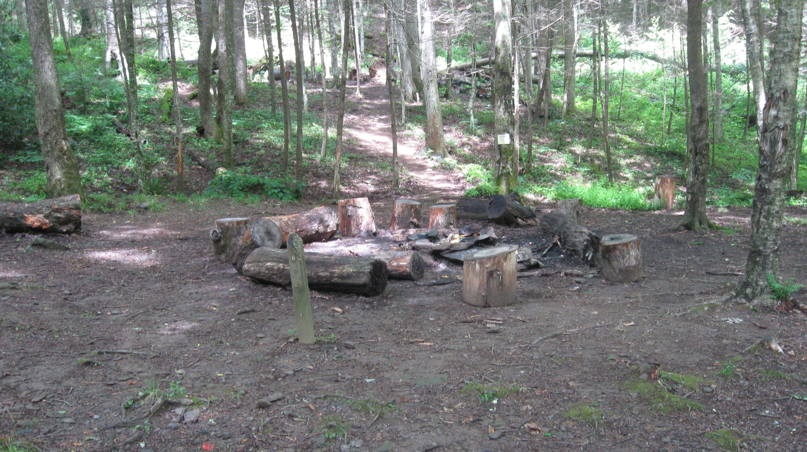
Back country campsite #12.
|
|
Terminus of Gregory Ridge Trail at the intersection
with the Gregory Bald Trail.
|
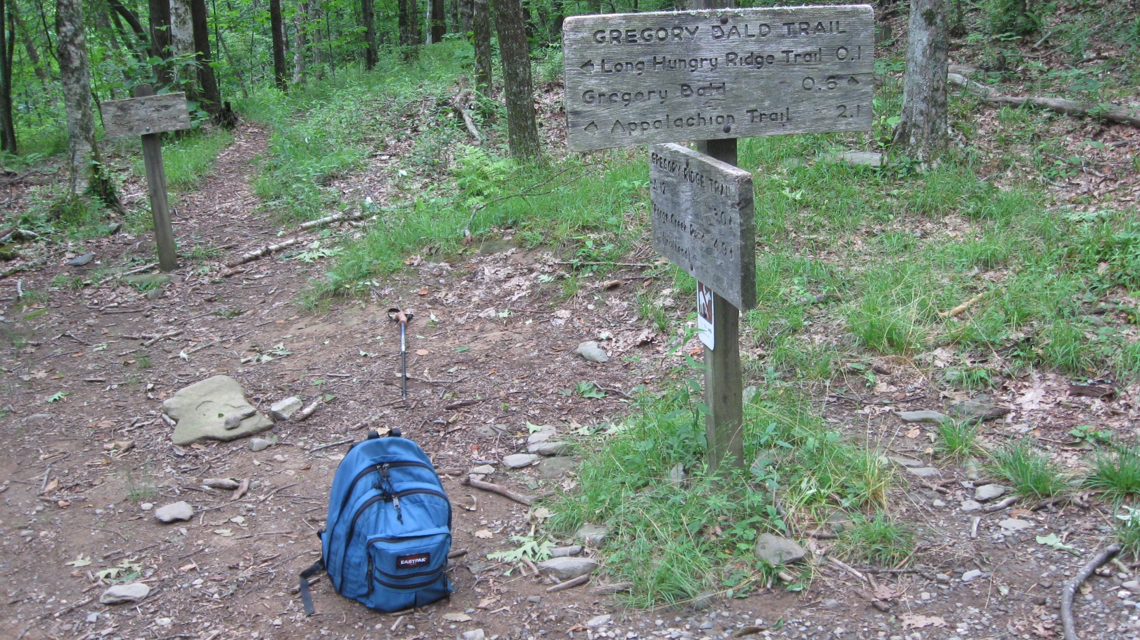
Another view of the trail sign at the
terminus of Gregory Ridge Trail at the intersection
with the Gregory Bald Trail.
|
|
|
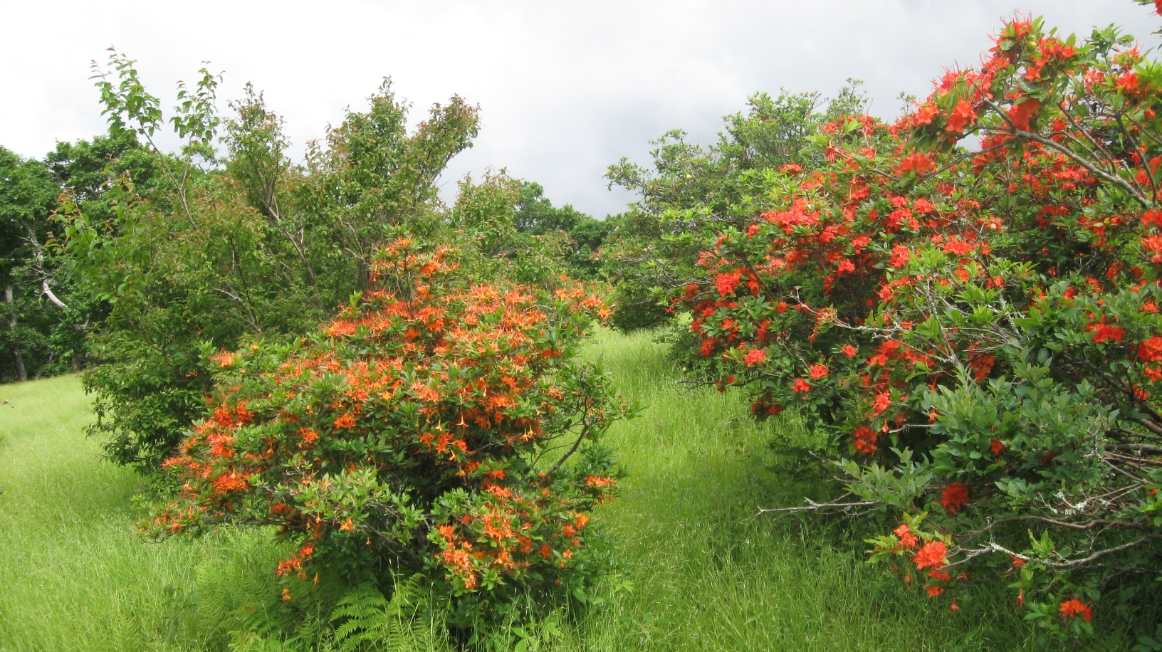
Flame azaleas on Gregory Bald.
|
|
|
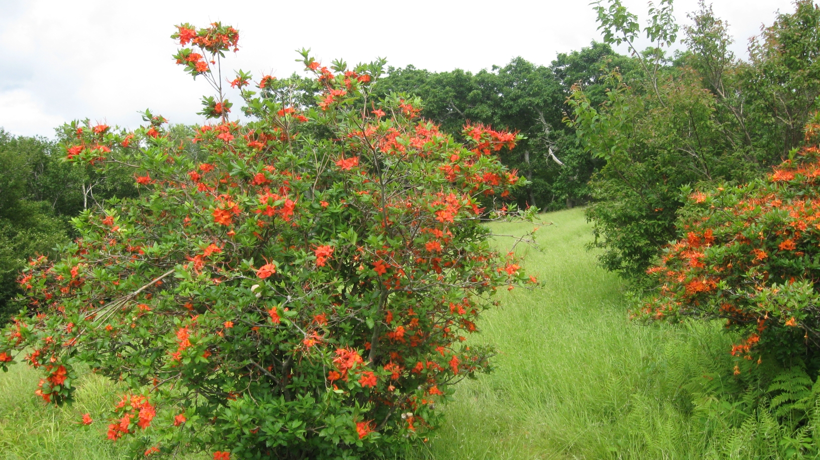
Flame azaleas on Gregory Bald.
|
|
|
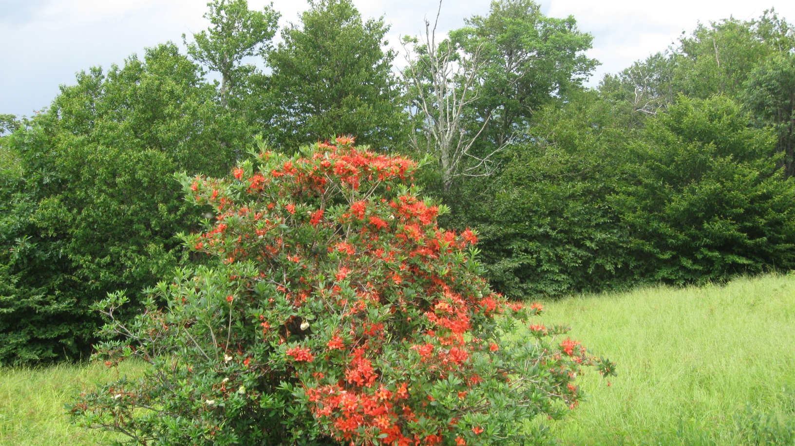
Flame azaleas on Gregory Bald.
|
|
|
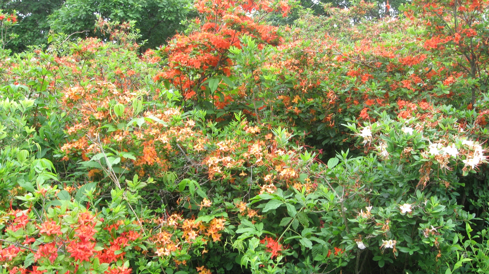
Flame azaleas on Gregory Bald.
|
|
|
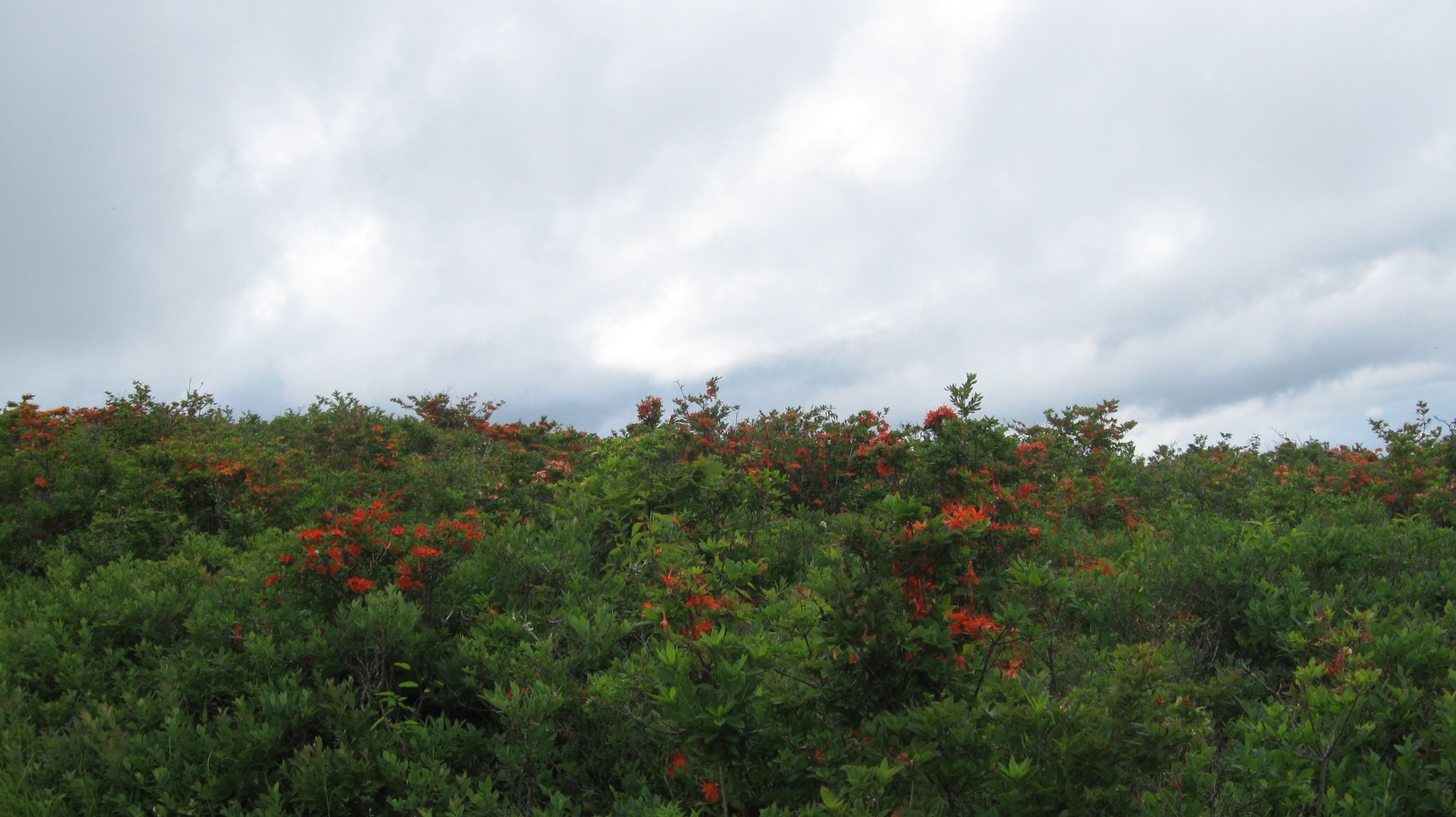
Flame azaleas on Gregory Bald.
|
|
|
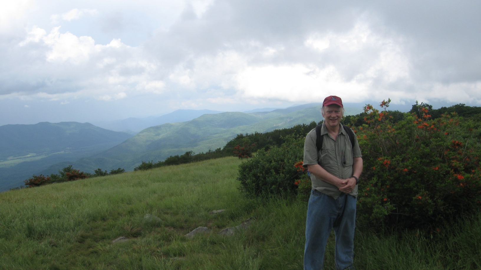
That's me standing next to flame azaleas on Gregory Bald, with
some of the grassy bald in view, and with Cades Cove
in the background.
|
|
|
This page last edited on 09 Jul 2011.