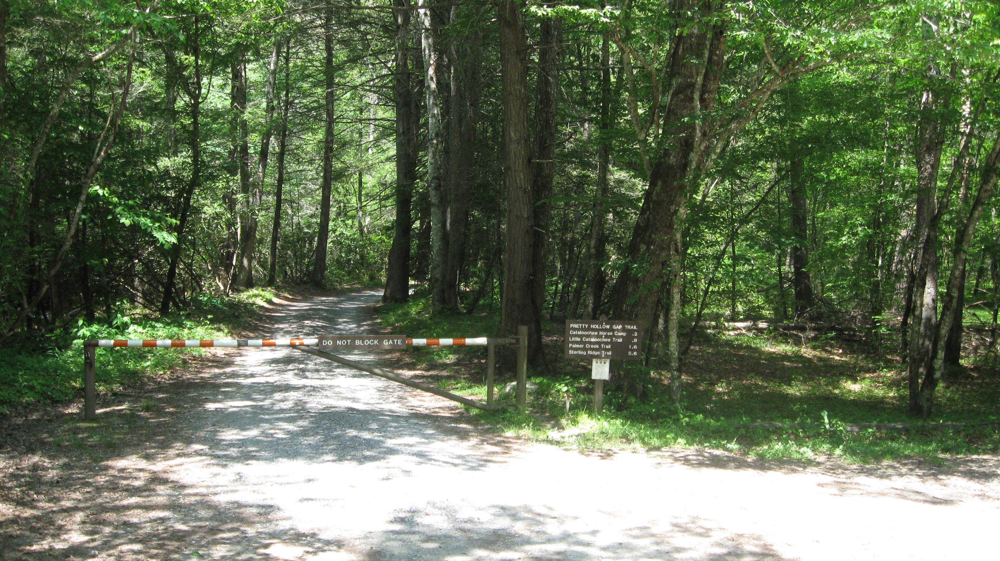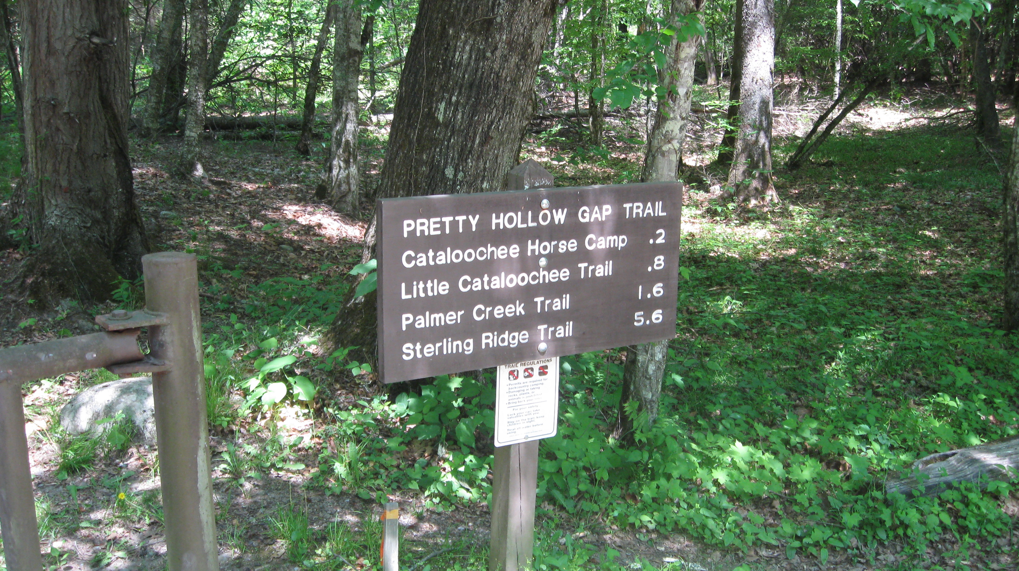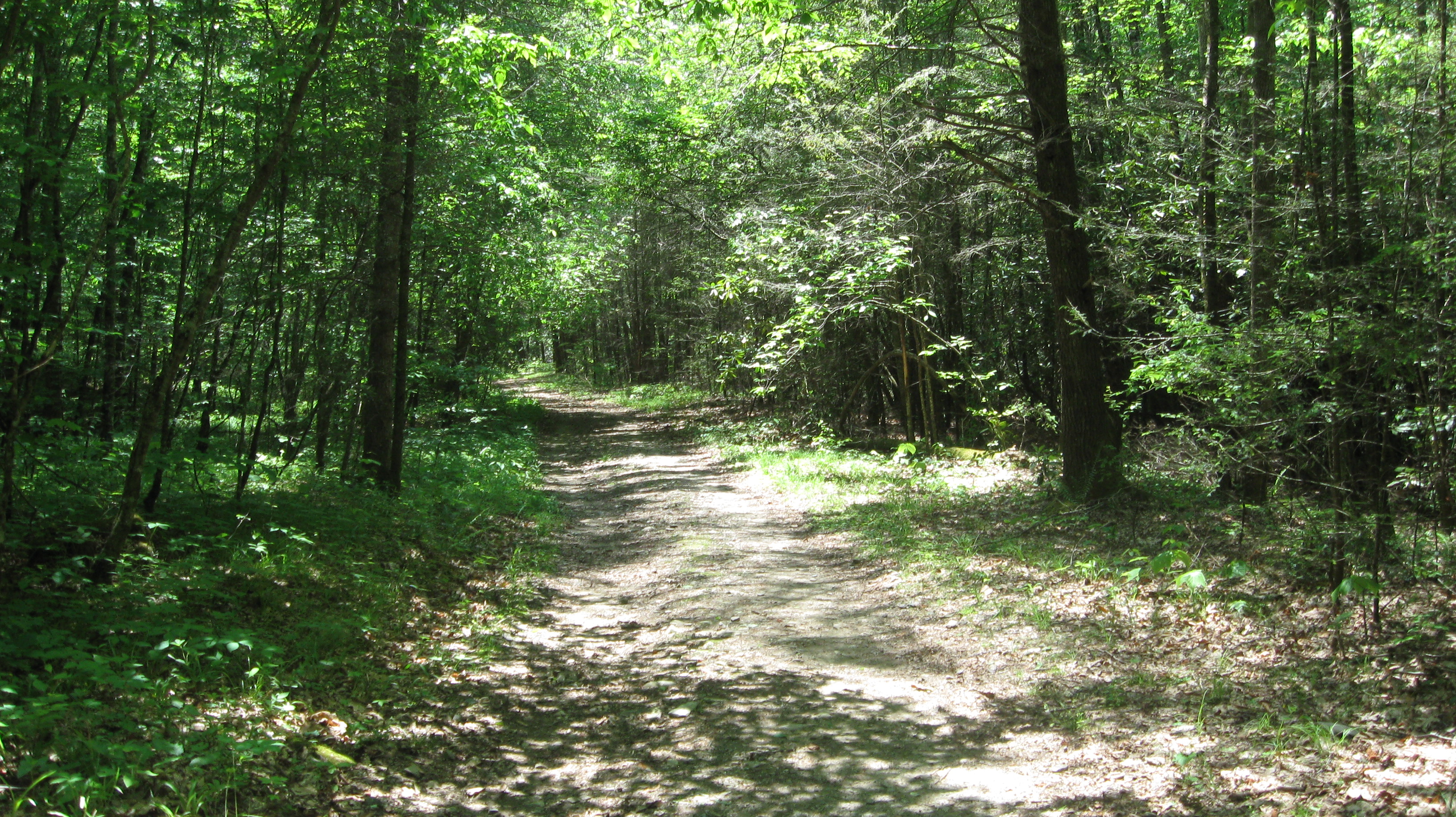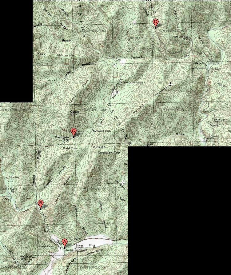
The trailhead (point B) is on the Pretty Hollow Gap Trail, about 0.8 miles from Cataloochee Road (point A). The Pretty Hollow Gap Trail follows Palmer Creek for a while, and is listed on some trail maps as the Palmer Creek Trail. But the modern nomenclature is that the Palmer Creek Trail branches off from the Pretty Hollow Gap Trail a short distance beyond the Little Cataloochee Trail trailhead.
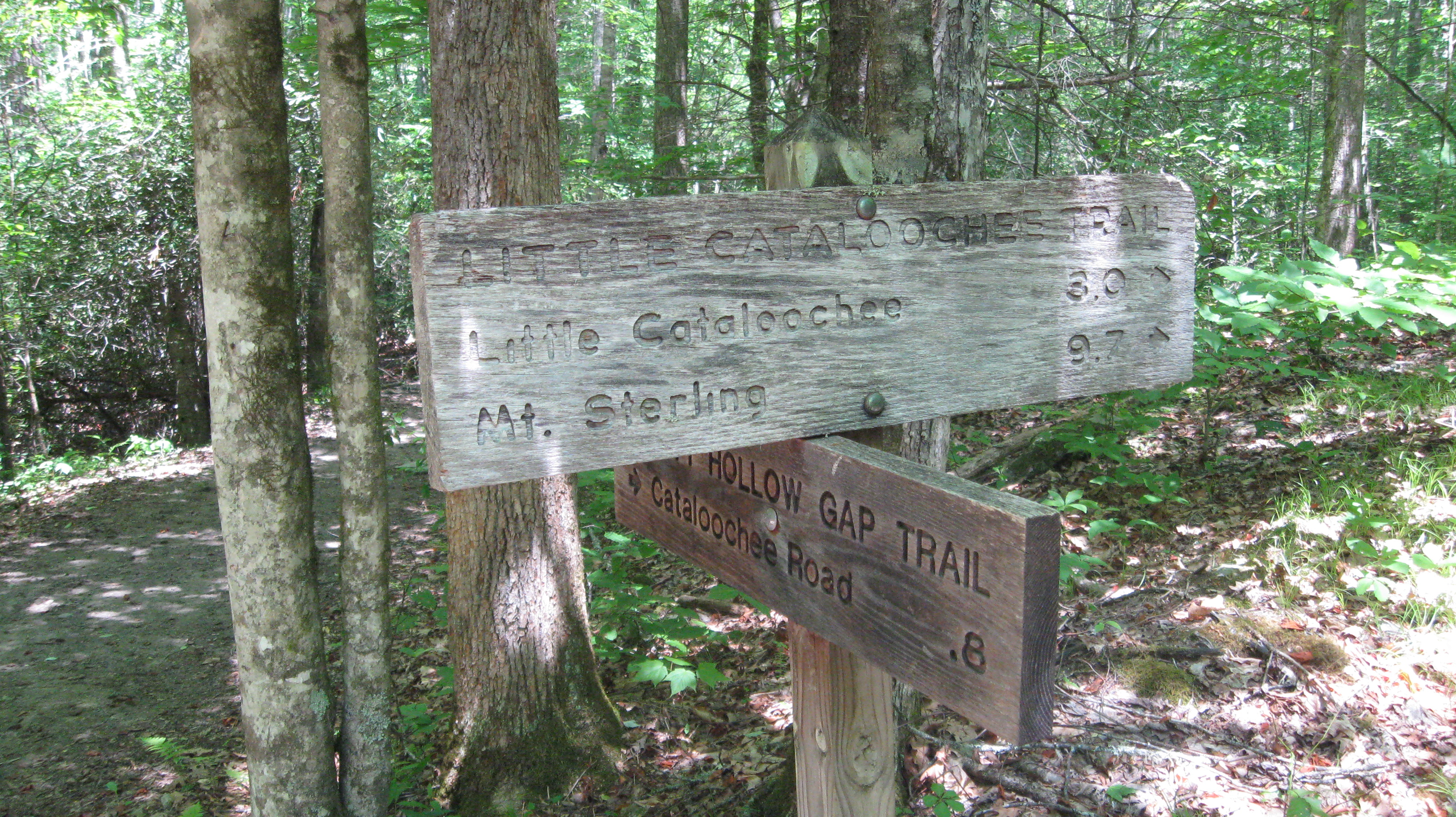
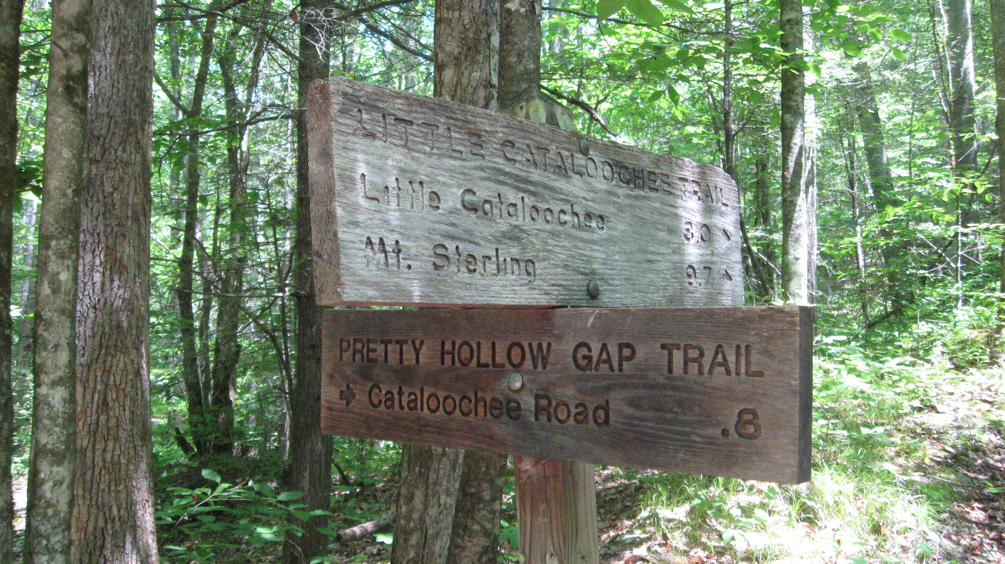
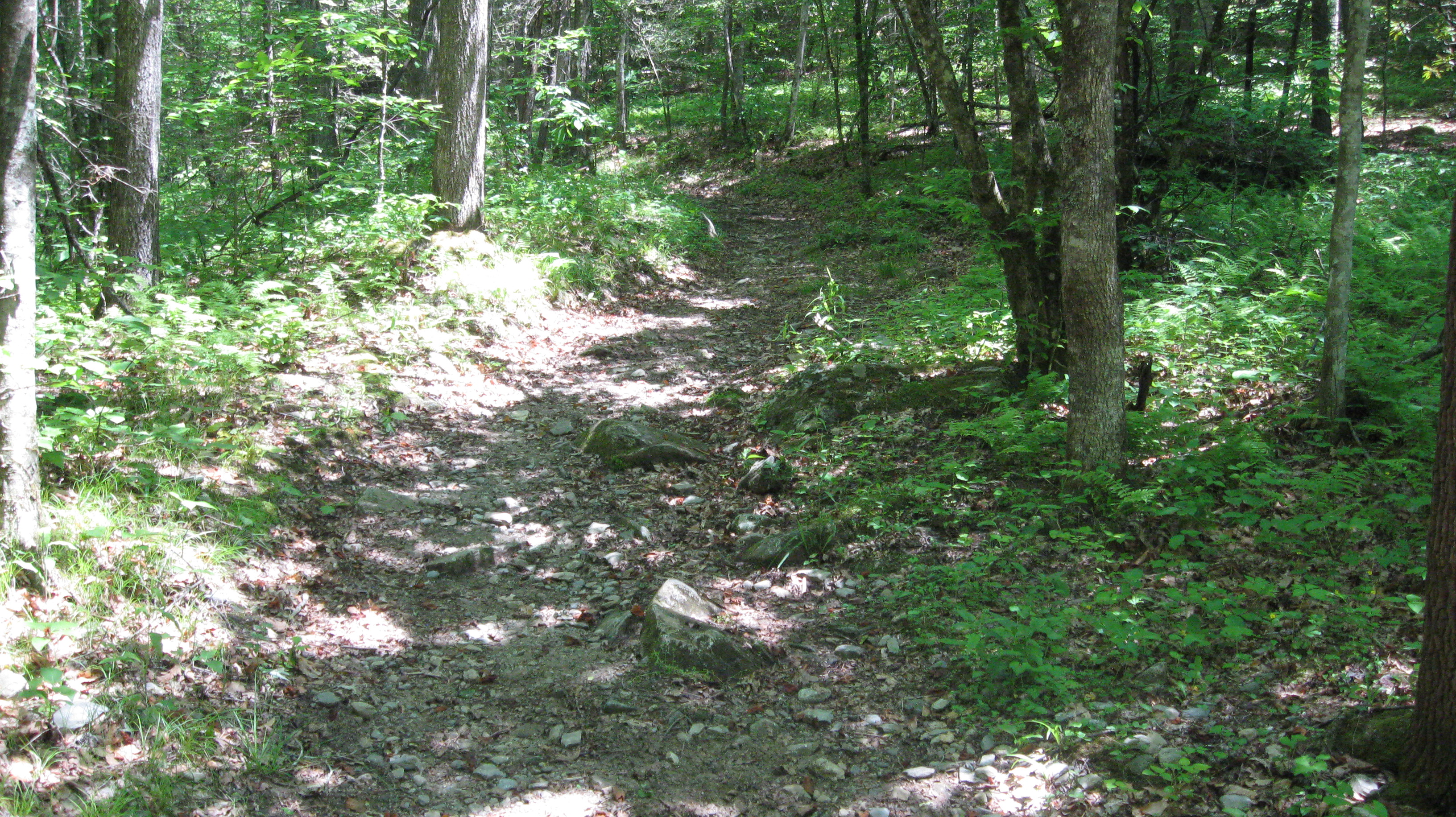
From the trailhead (point B), it is about 1.8 miles to Davidson Gap (point C). Davidson Gap is at the top of the ridge that separates Big Cataloochee from Little Cataloochee. From Davidson Gap, the trail descends into Little Cataloochee while continuing for about 3.2 miles to the end of the trail at National Park Road (point D). The "end" of the trail can also serve as a trailhead.