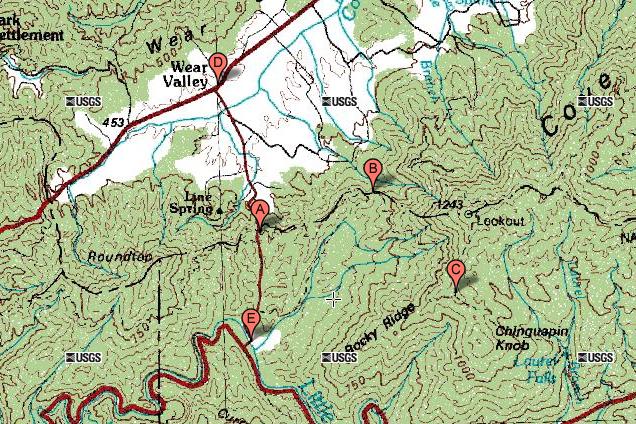
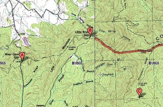
It was a warm, gray day in early spring. This was my first time
to go beyond the first trail intersection with the Little Brier Gap Trail
and continue on to the end of the trail at the intersection with the
Laurel Falls Trail. So the total hike was about 8.6 miles.
|
|
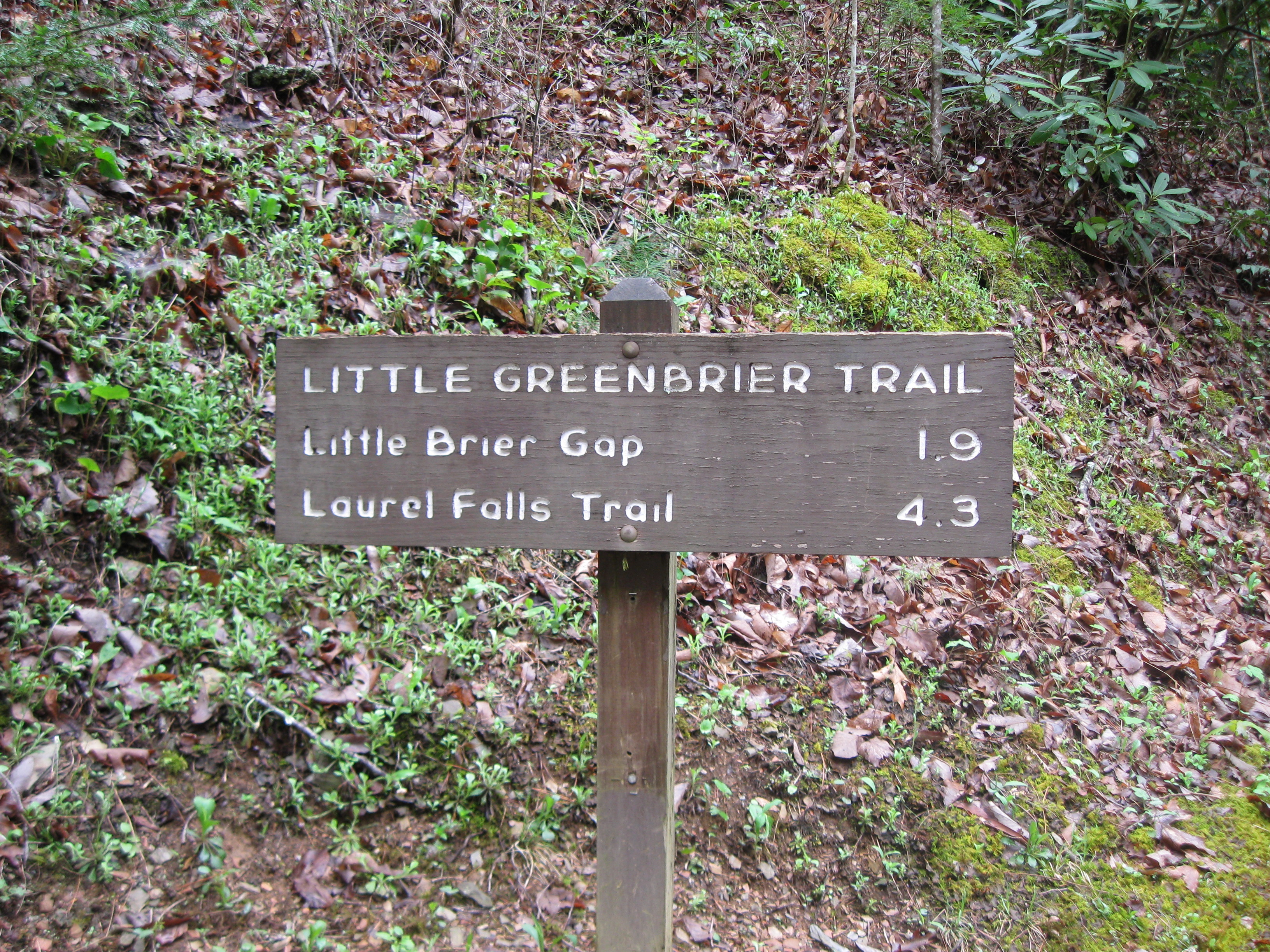
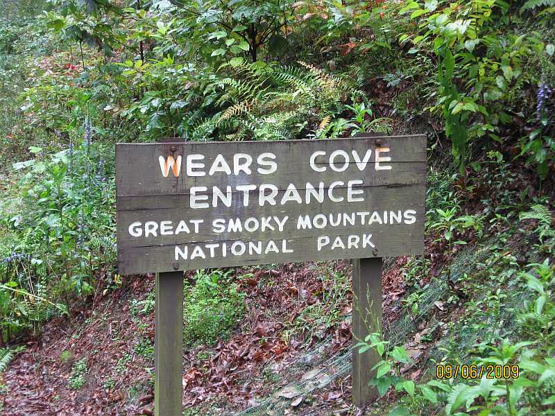
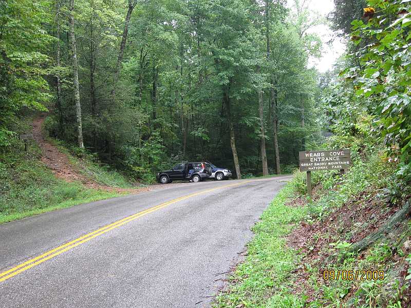
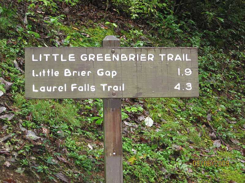
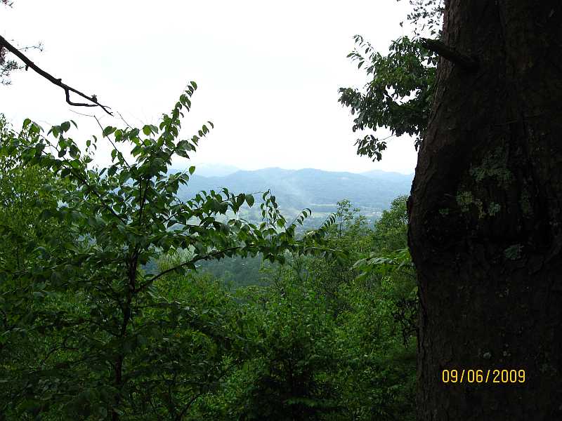
Little Greenbrier Trail, Trailhead, Great Smoky Mountains National Park, 20 Mar 2015.
|
|
|
|
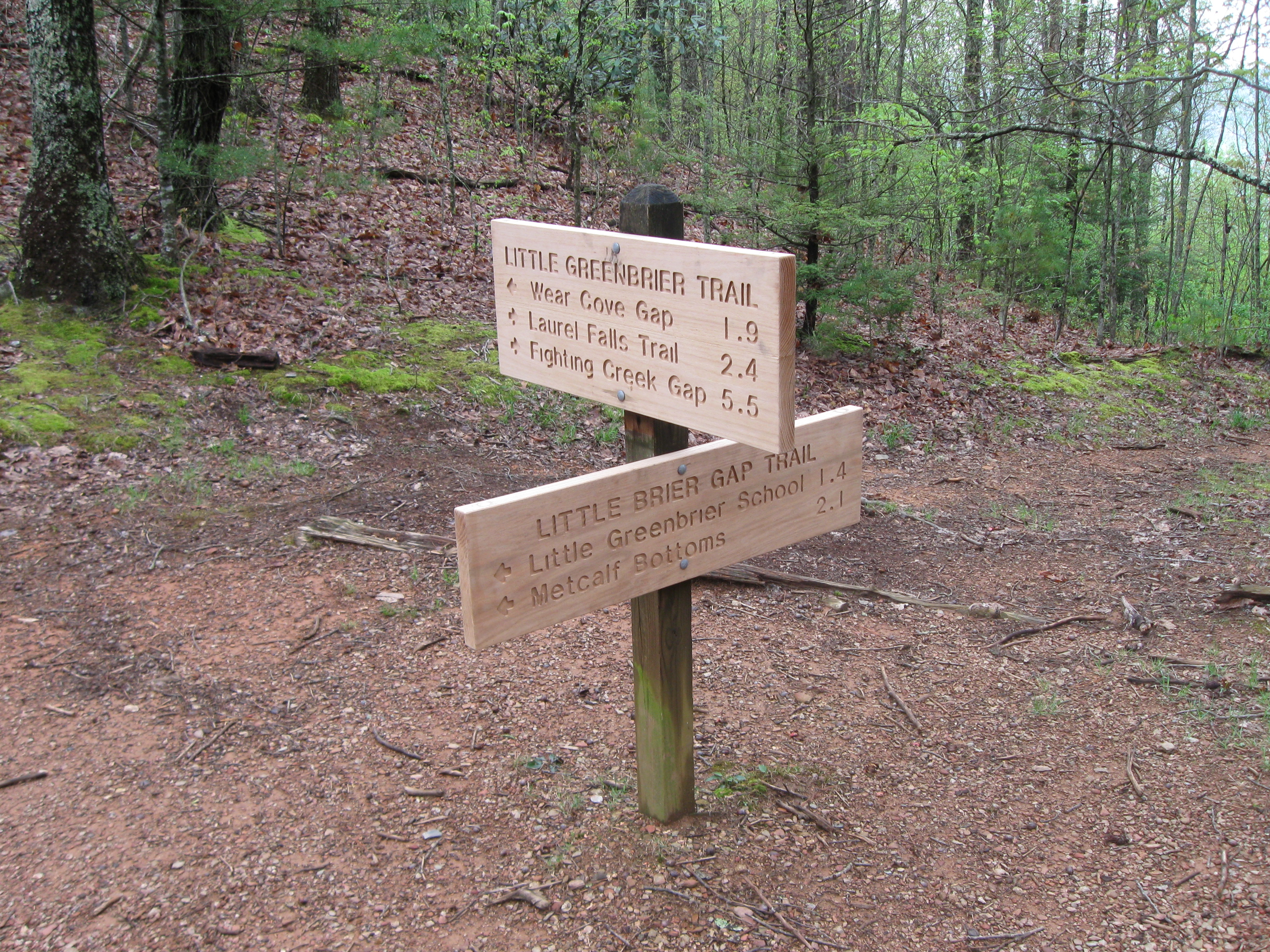
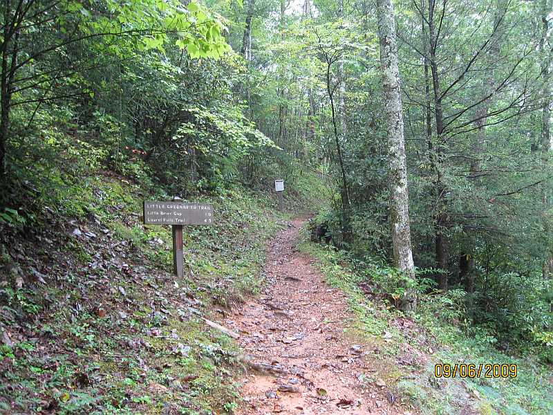
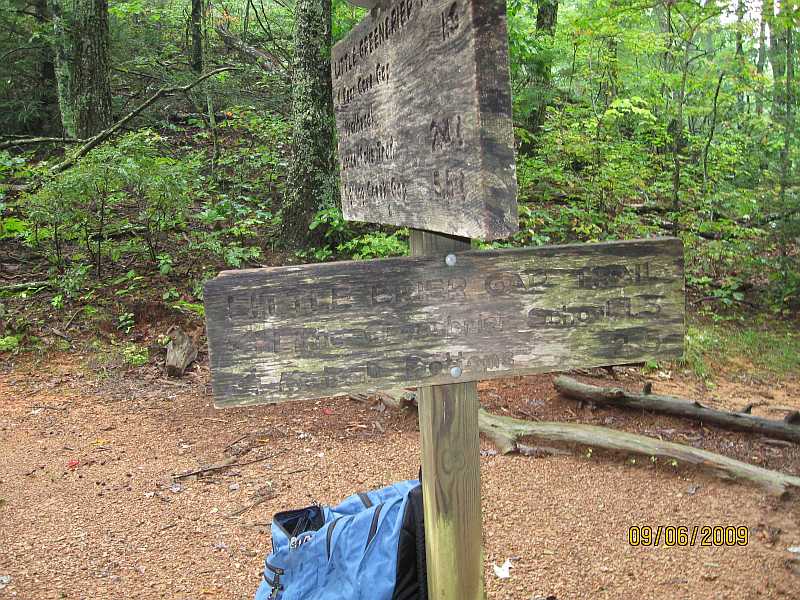
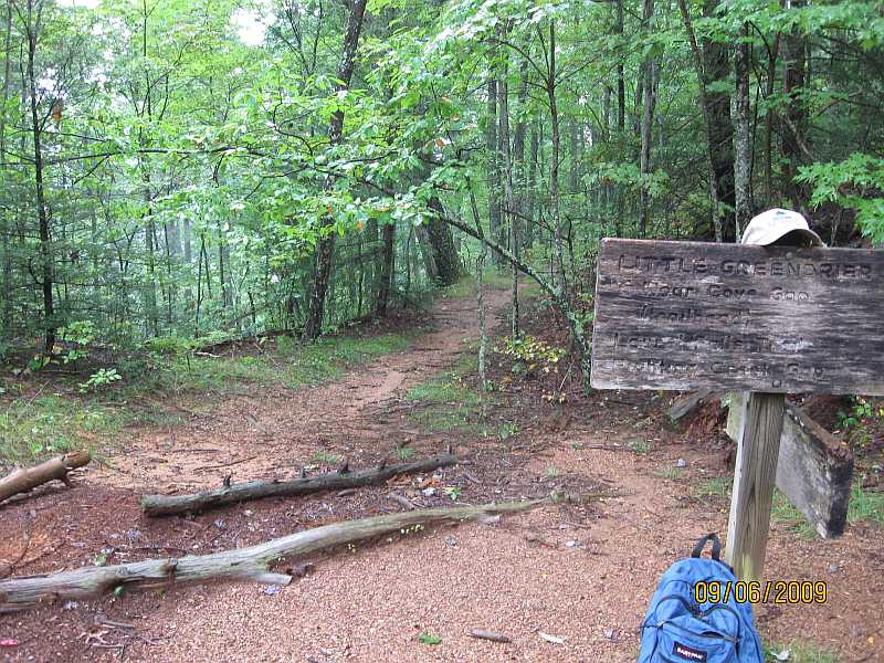
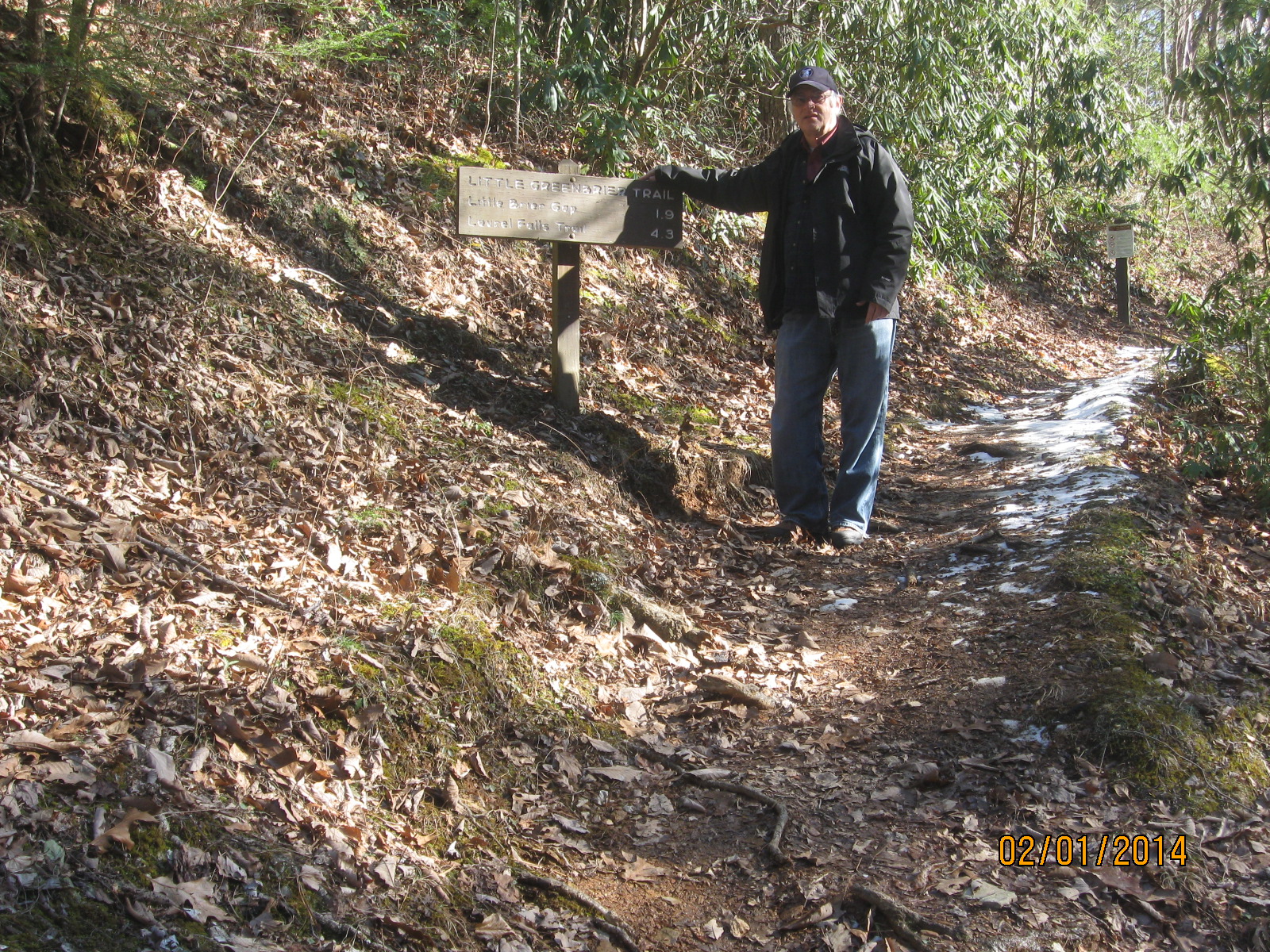
Little Greenbrier Trail, Intersection with the Little Brier Gap Trail,
1.9 miles from the trailhead. Great Smoky Mountains National Park, 20 Mar 2015.
The trail signs are newly replaced.
|
|
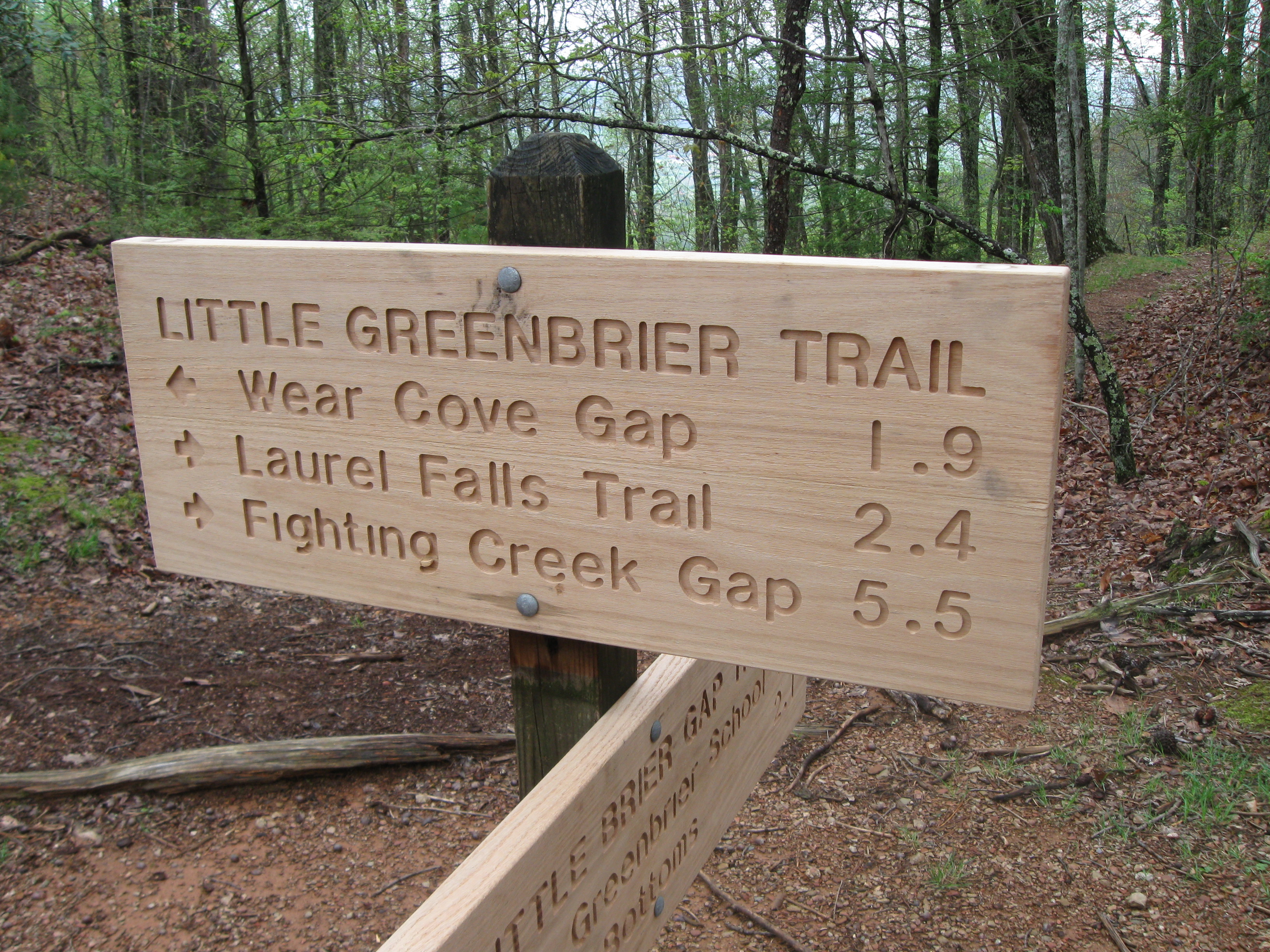
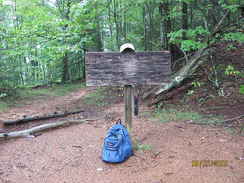
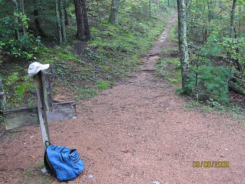
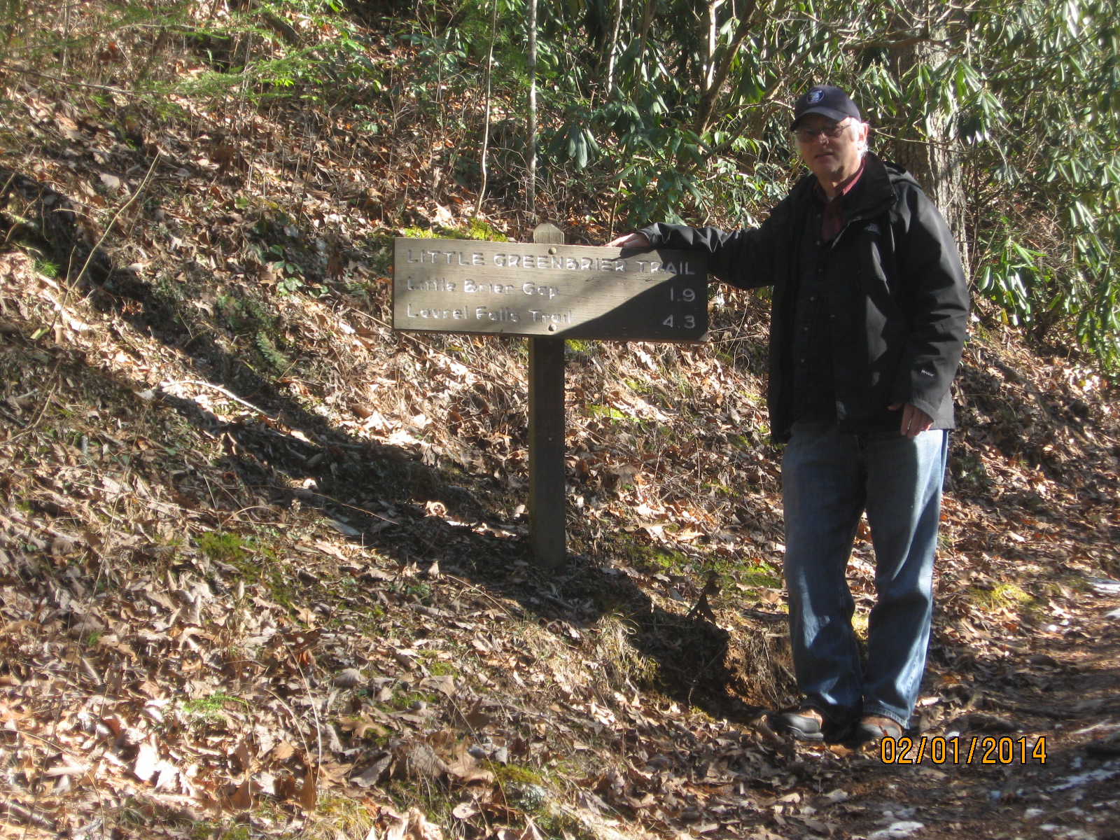
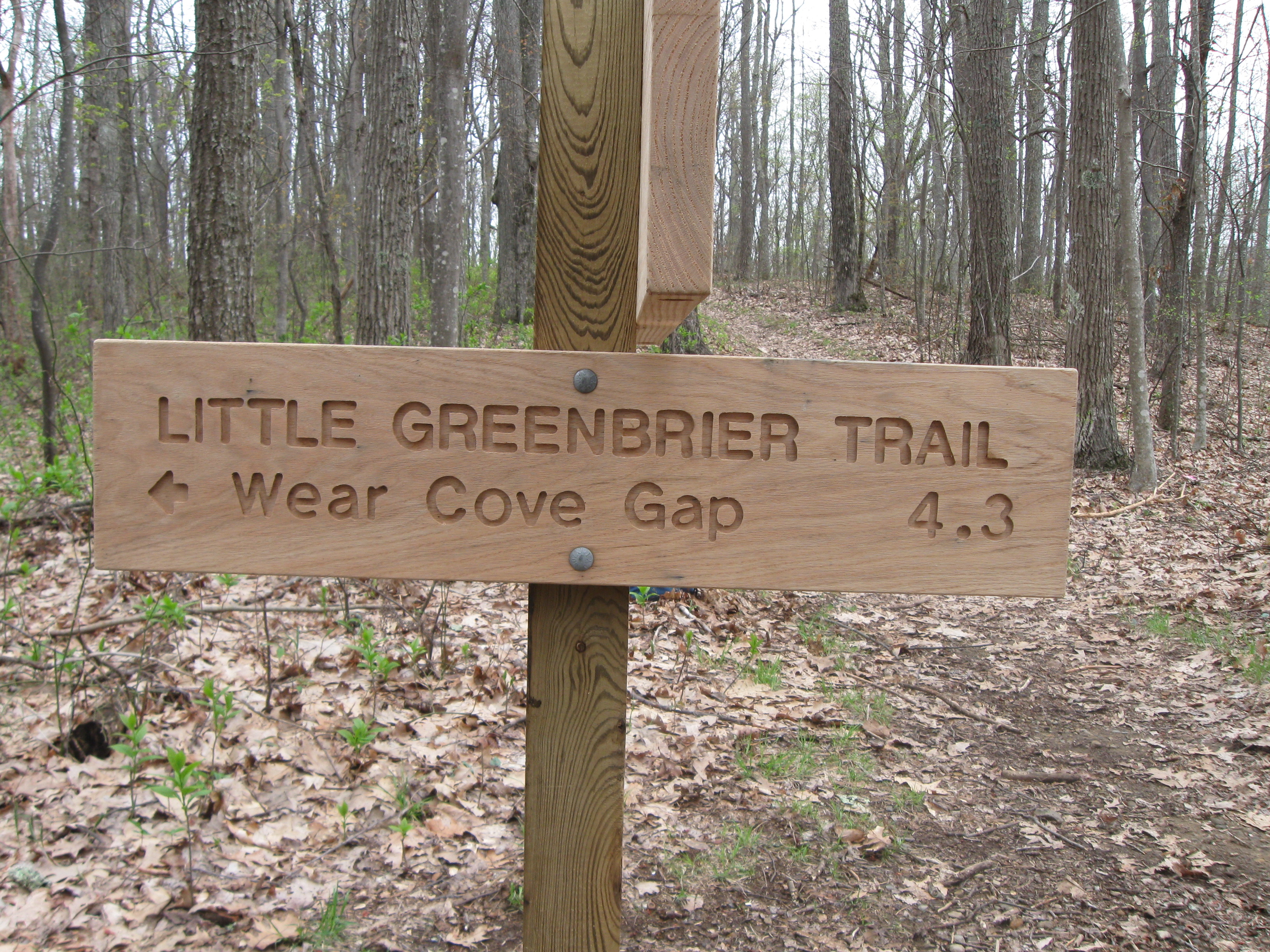
Little Greenbrier Trail, Intersection with the Little Brier Gap Trail,
1.9 miles from the trailhead. Great Smoky Mountains National Park, 20 Mar 2015.
Closeup of the newly replaced trail sign.
|
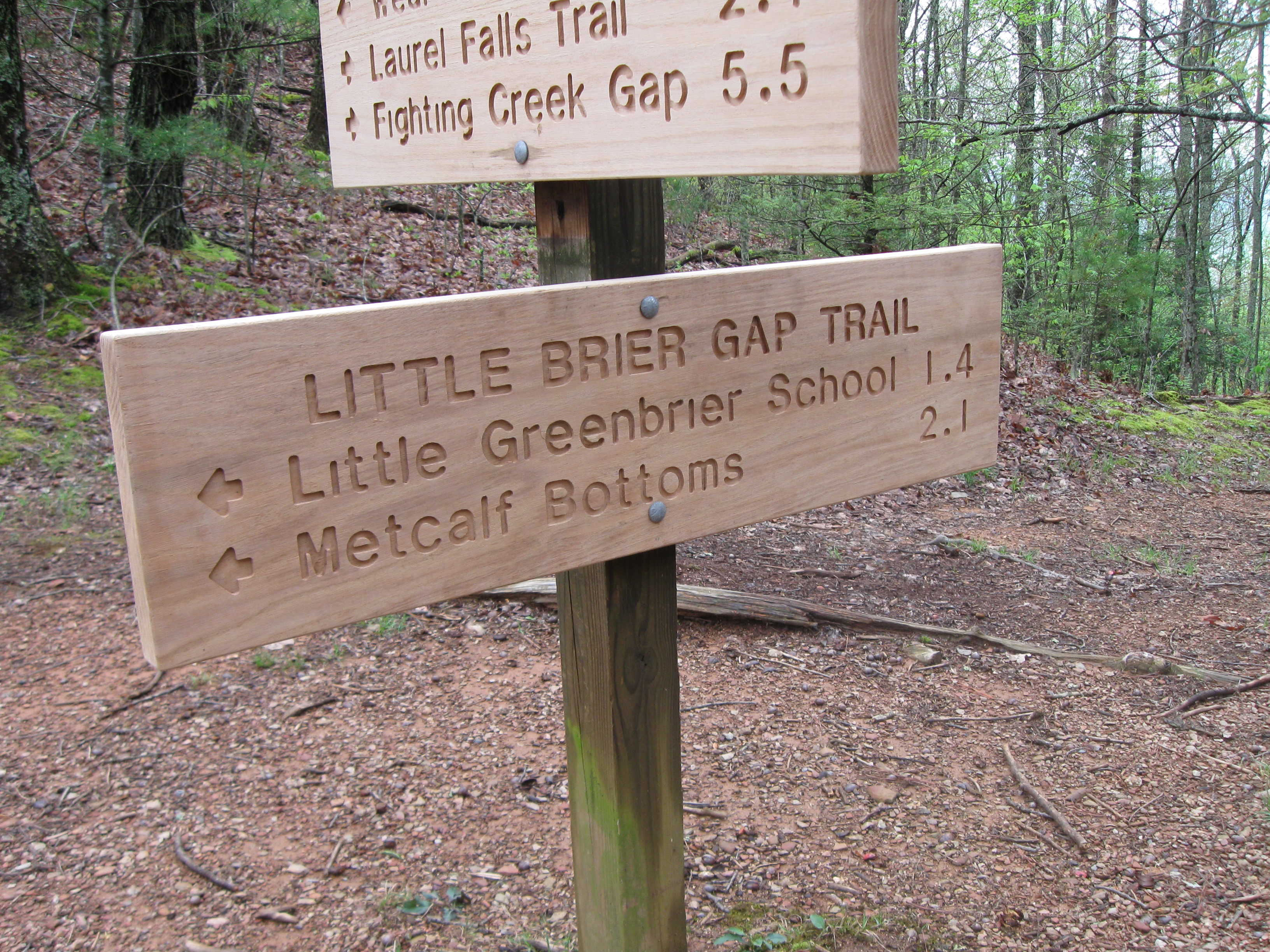
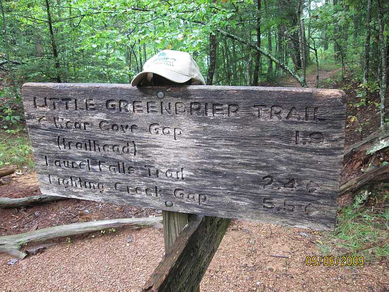
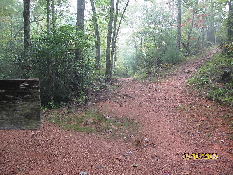
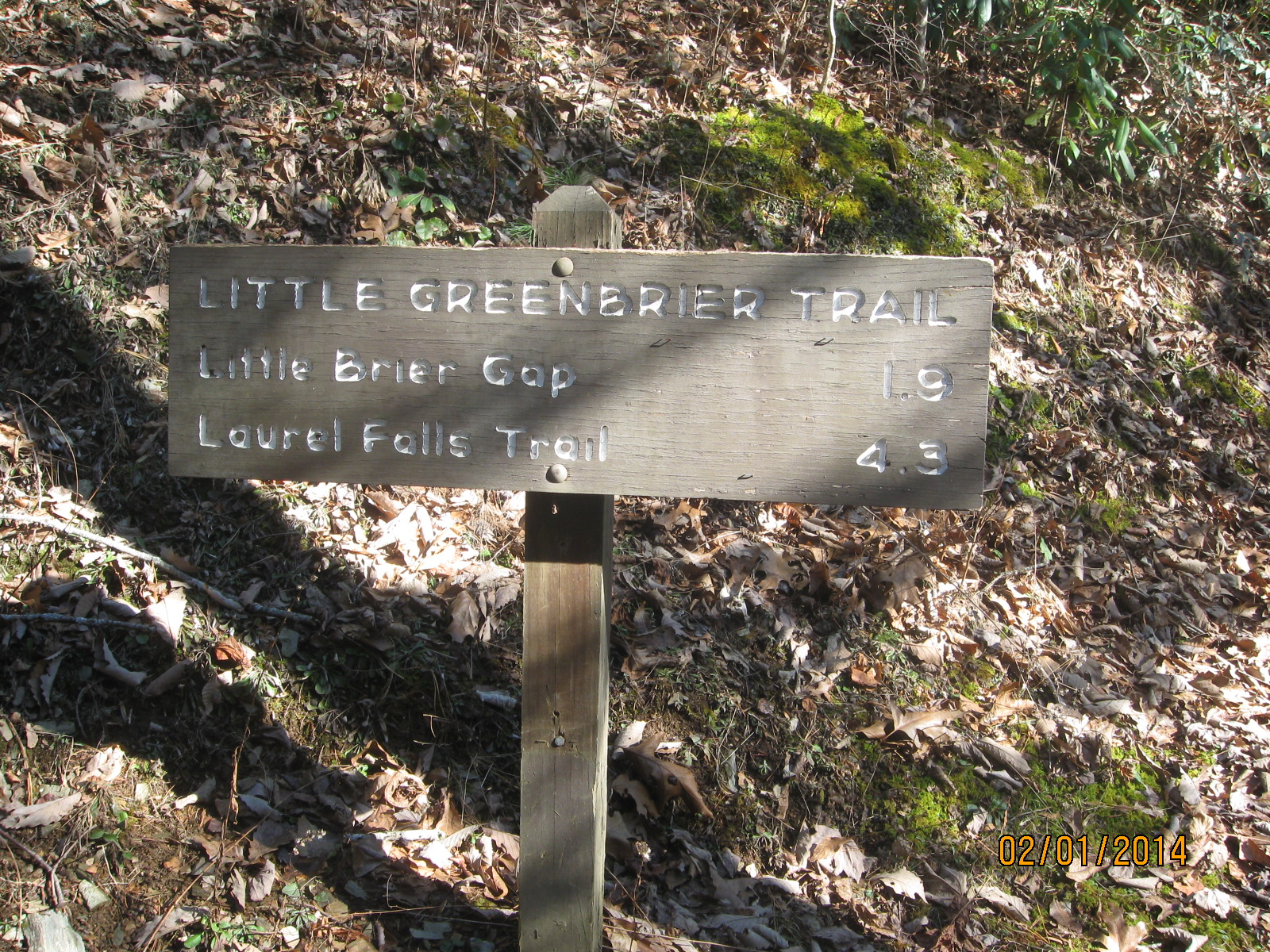
Little Greenbrier Trail, Intersection with the Little Brier Gap Trail,
1.9 miles from the trailhead. Great Smoky Mountains National Park, 20 Mar 2015.
Closeup of the newly replaced trail sign.
|
|
Little Greenbrier Trail, Great Smoky Mountains National Park - trail intersection 1.9 miles from trailhead, 3/20/2015 from Jerry Bryan on Vimeo.
|
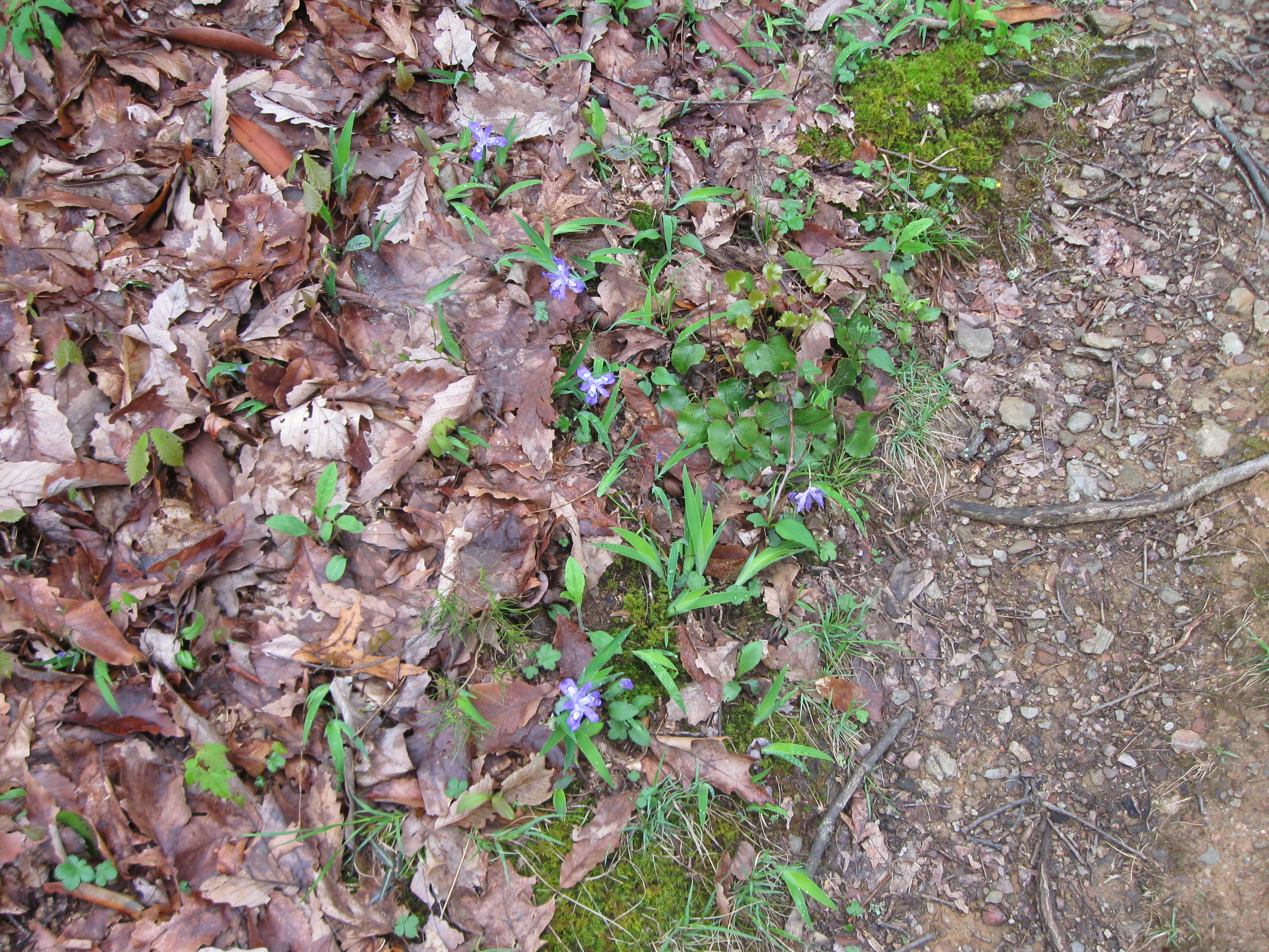
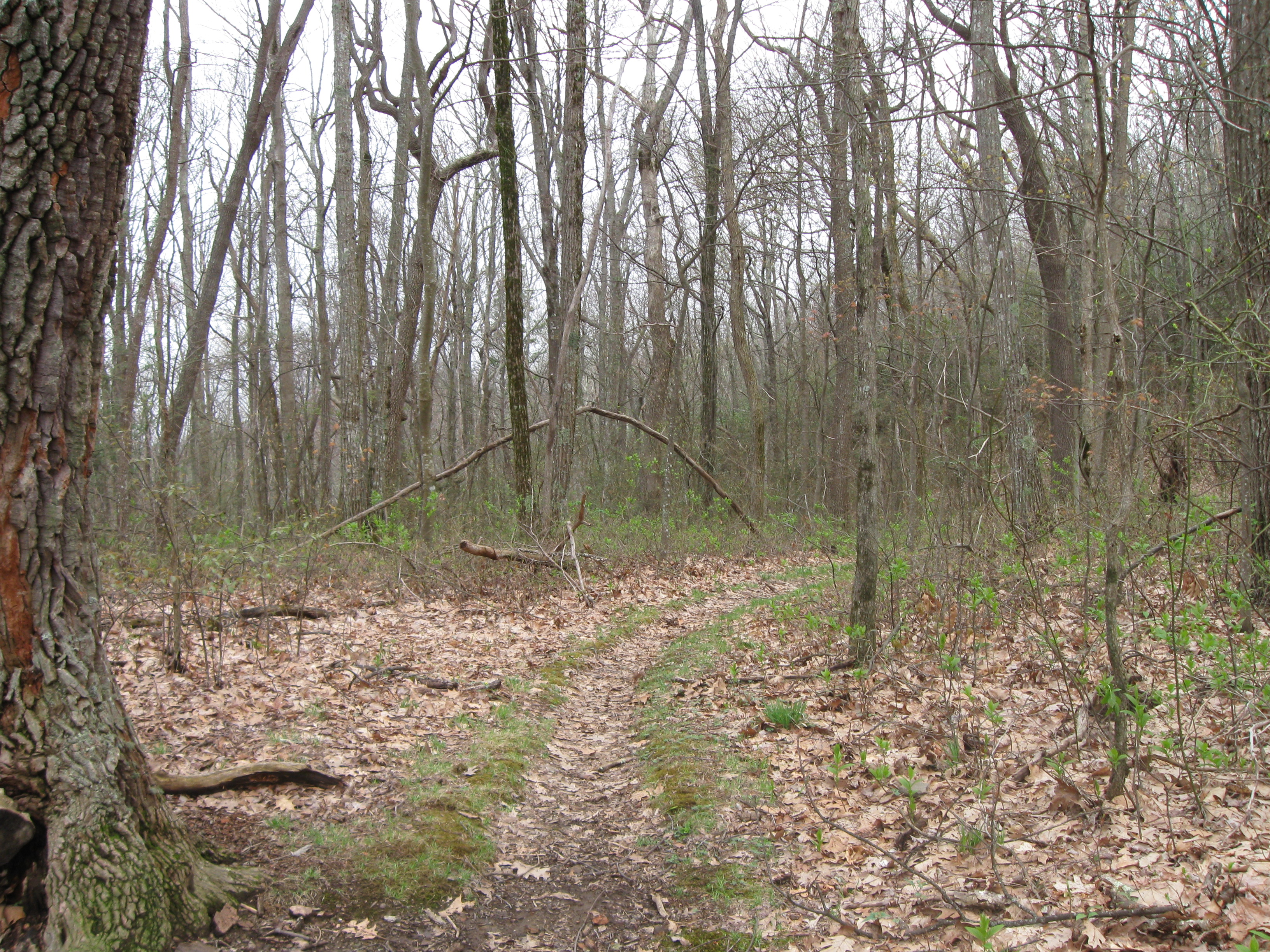
Little Greenbrier Trail, Intersection with the Little Brier Gap Trail,
2.2 miles from the trailhead. Great Smoky Mountains National Park, 20 Mar 2015.
Some wildflowers.
|
|
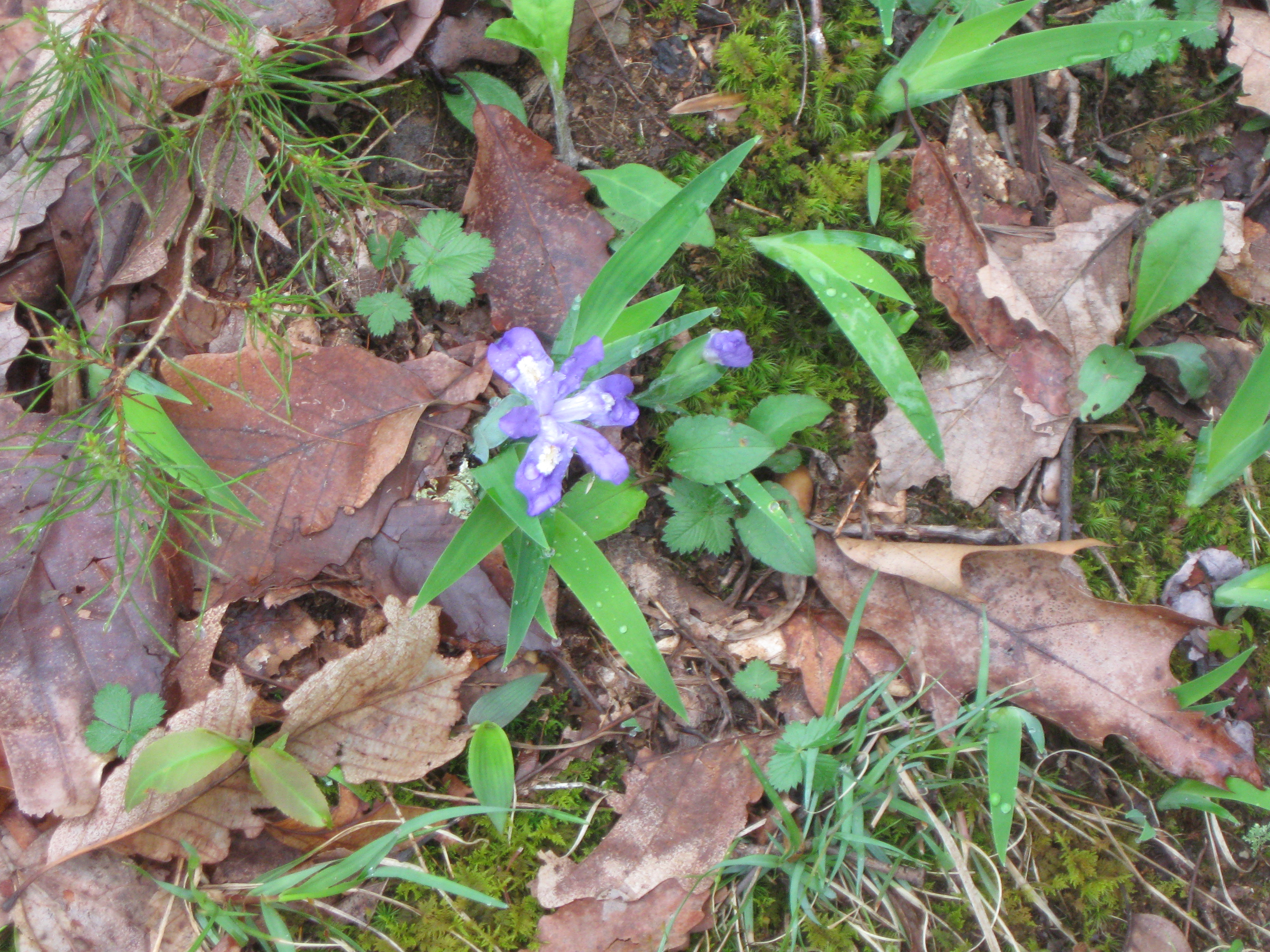
Little Greenbrier Trail, Intersection with the Little Brier Gap Trail,
2.2 miles from the trailhead. Great Smoky Mountains National Park, 20 Mar 2015.
Some wildflowers.
|
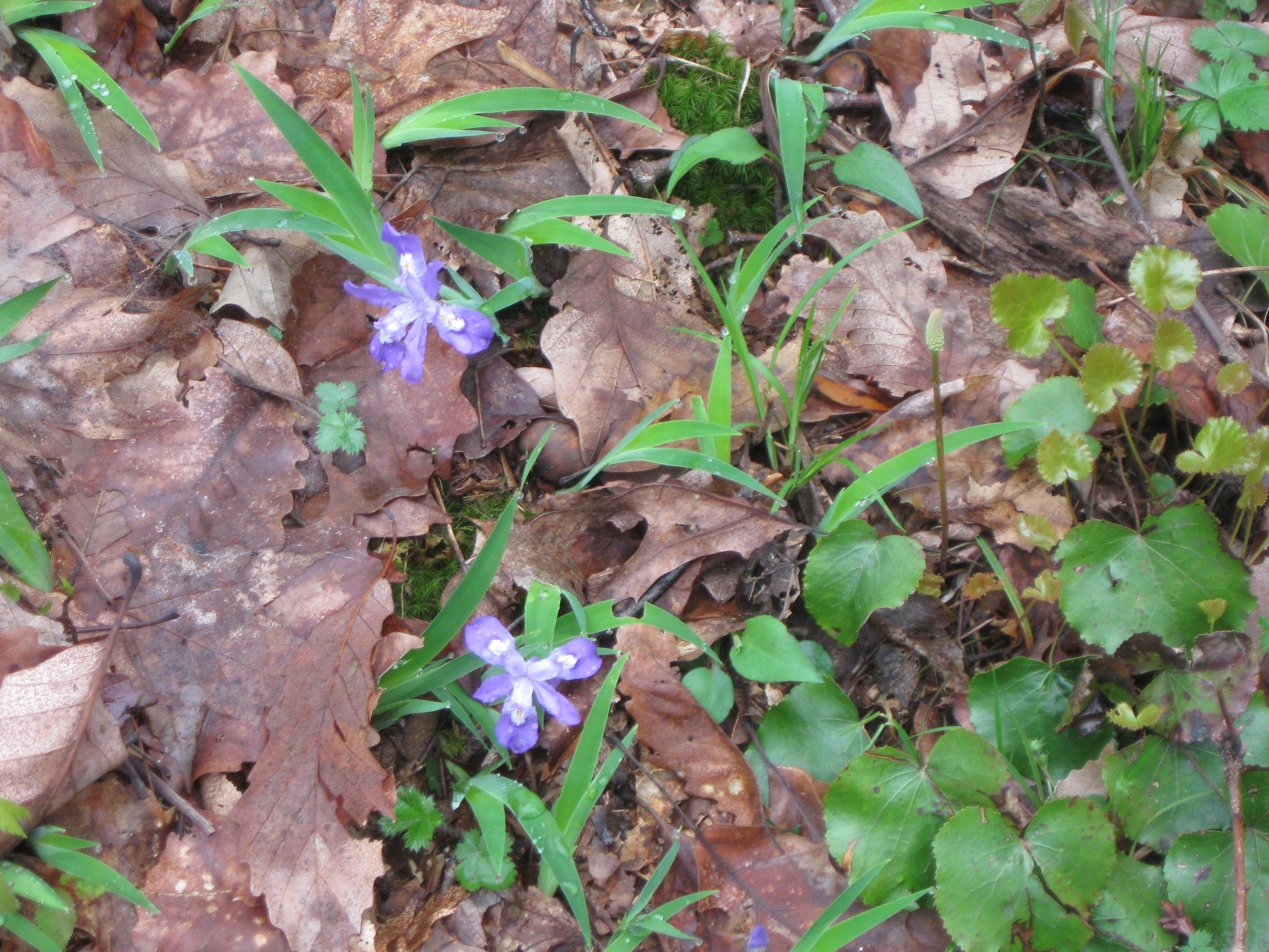
Little Greenbrier Trail, Intersection with the Little Brier Gap Trail,
2.2 miles from the trailhead. Great Smoky Mountains National Park, 20 Mar 2015.
Some wildflowers.
|
|
Little Greenbrier Trail, Great Smoky Mountains National Park - wildflowers 2.2 miles from trailhead, 3/20/2015 from Jerry Bryan on Vimeo.
|
Little Greenbrier Trail, Intersection with the Little Brier Gap Trail,
2.2 miles from the trailhead. Great Smoky Mountains National Park, 20 Mar 2015.
Some wildflowers.
|
|
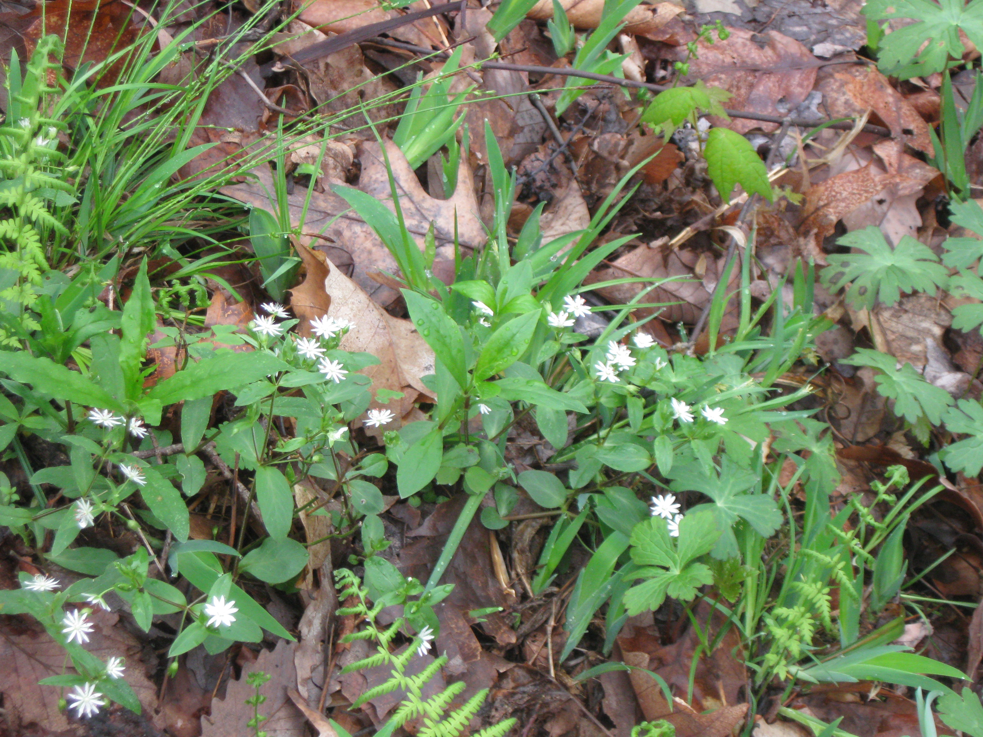
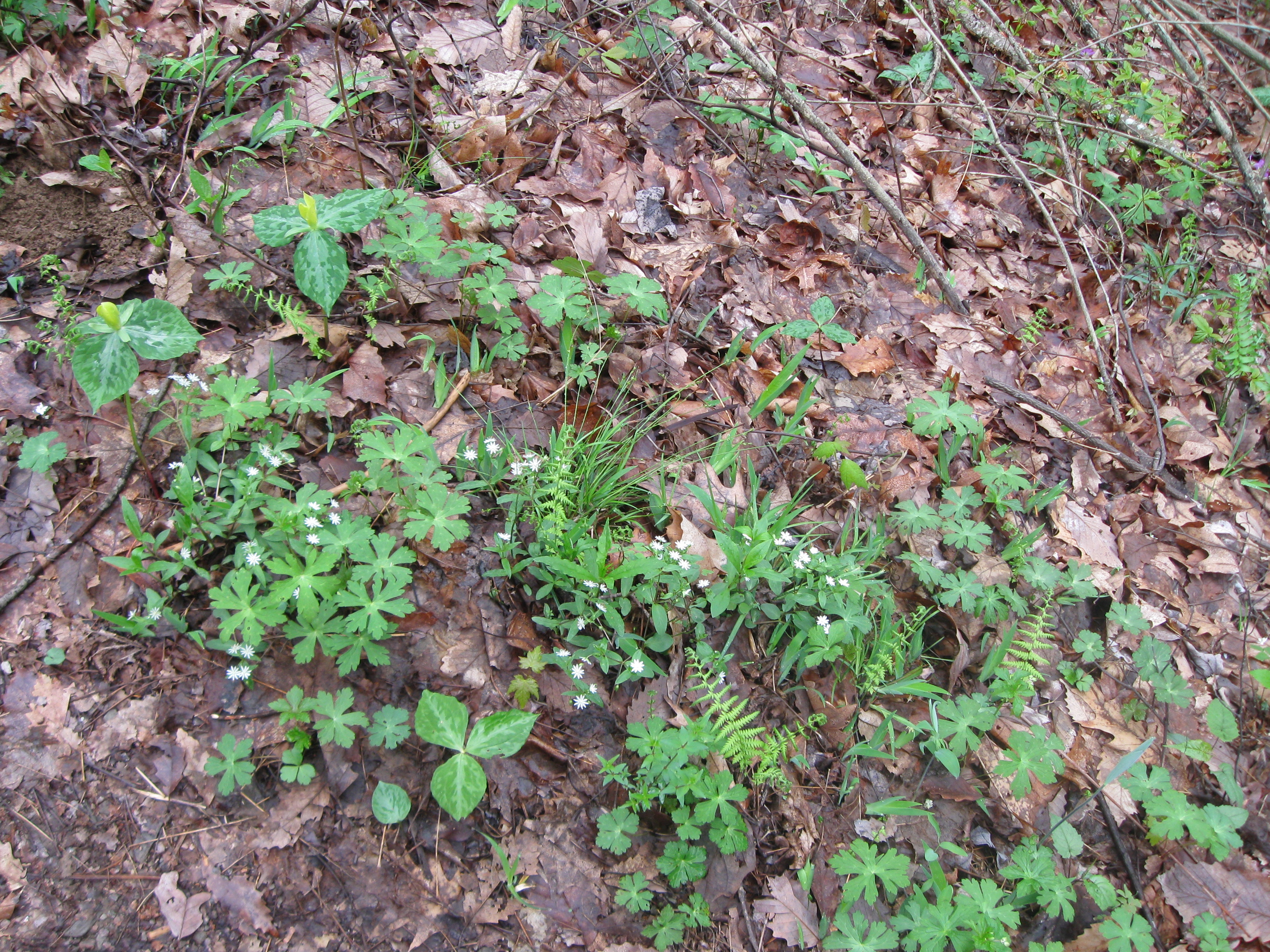
Little Greenbrier Trail, Intersection with the Little Brier Gap Trail,
2.2 miles from the trailhead. Great Smoky Mountains National Park, 20 Mar 2015.
Some wildflowers including trilliam not quite in full bloom yet.
|
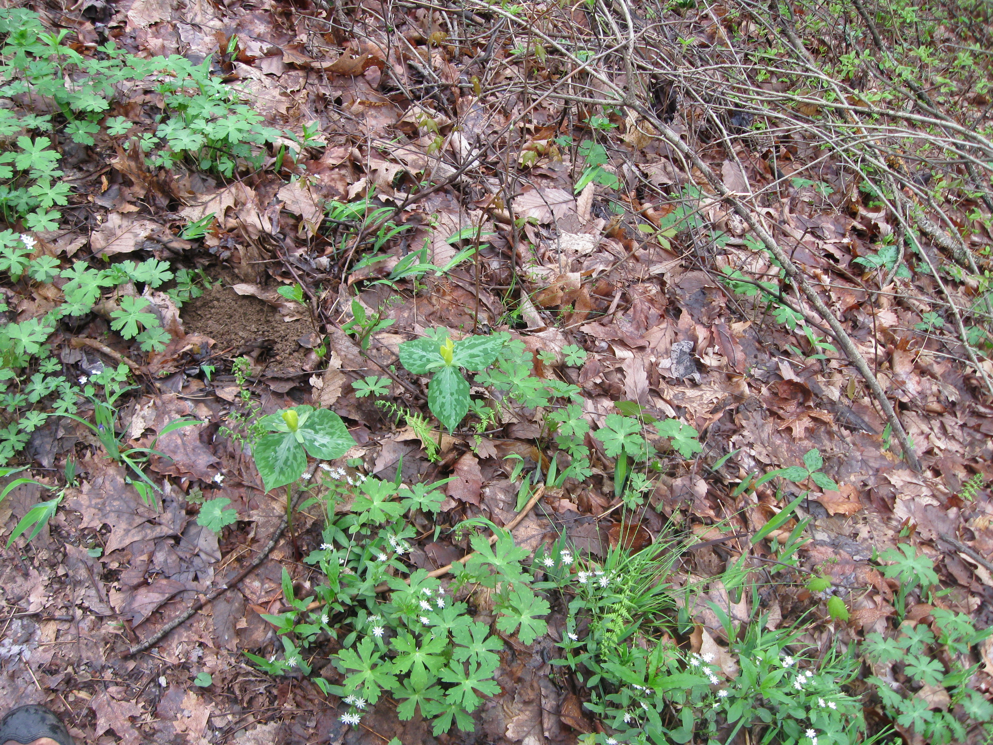
Little Greenbrier Trail, Intersection with the Little Brier Gap Trail,
2.2 miles from the trailhead. Great Smoky Mountains National Park, 20 Mar 2015.
Some trilliam not quite in full bloom yet.
|
|
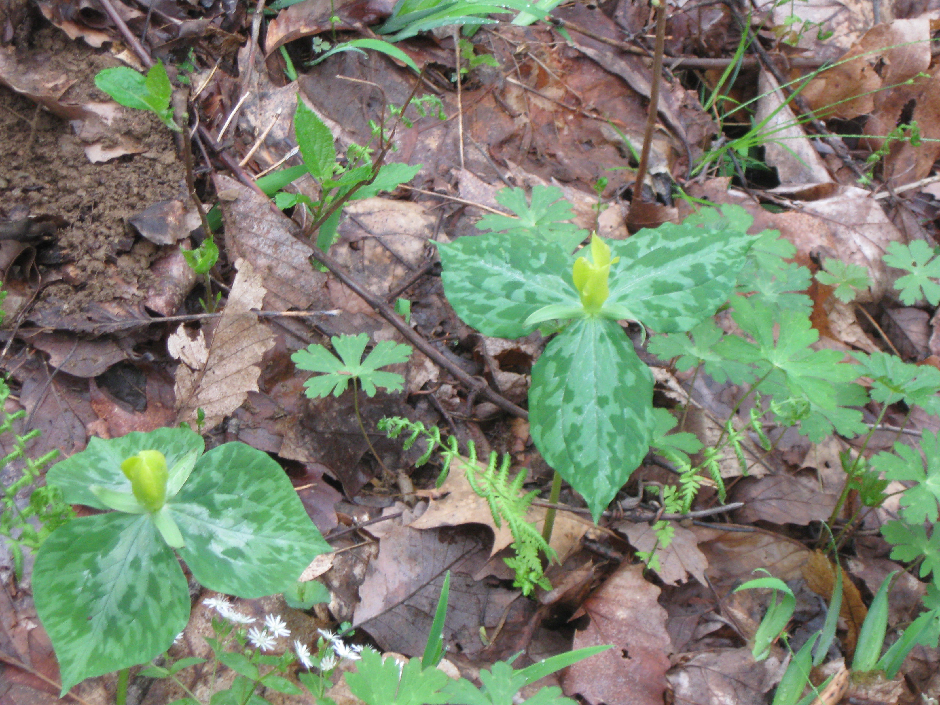
Little Greenbrier Trail, Intersection with the Little Brier Gap Trail,
2.2 miles from the trailhead. Great Smoky Mountains National Park, 20 Mar 2015.
Some wildflowers including trilliam not quite in full bloom yet.
|
Little Greenbrier Trail, Great Smoky Mountains National Park - more wildflowers, 3/20/2015 from Jerry Bryan on Vimeo.
|
|
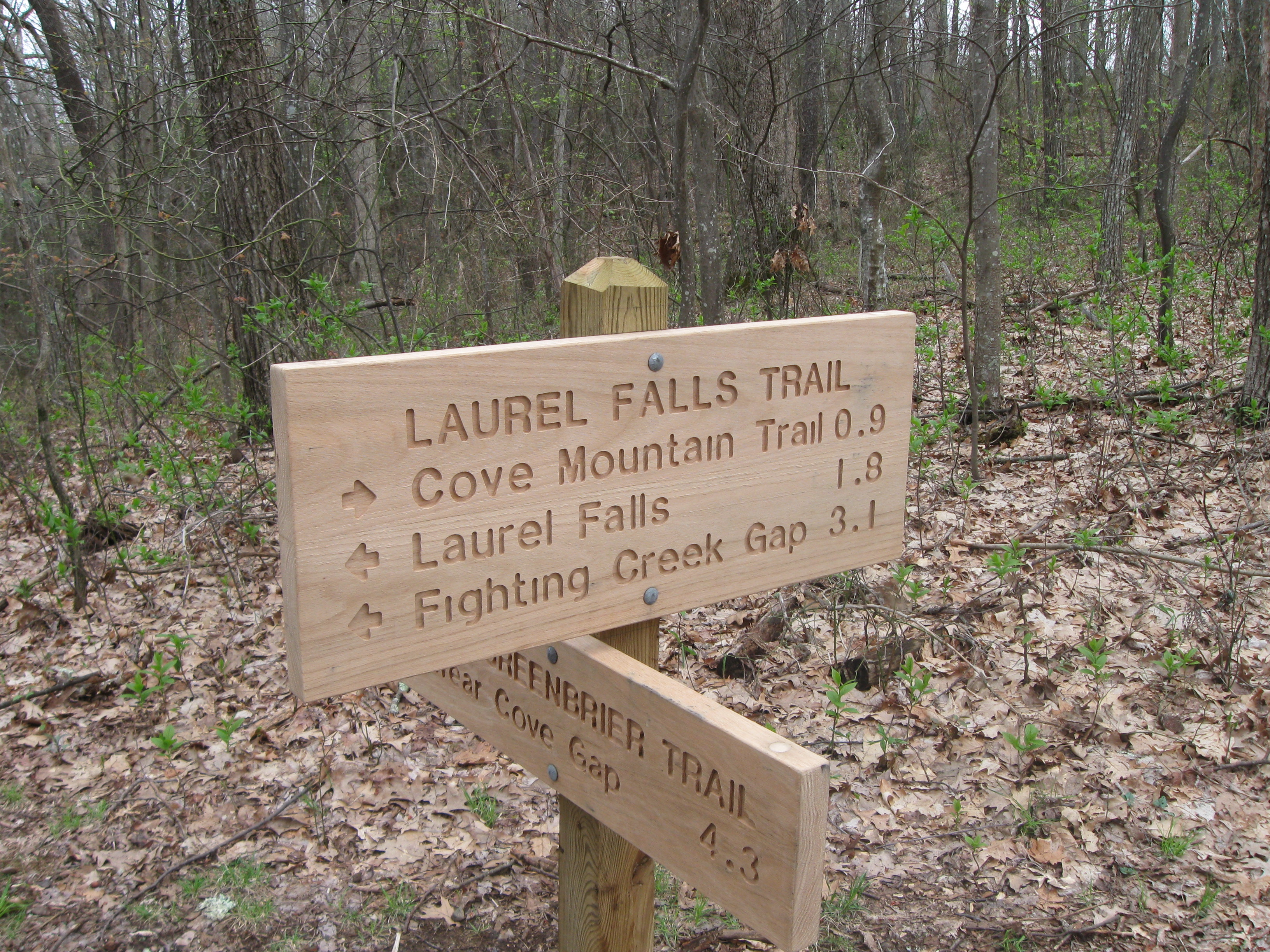
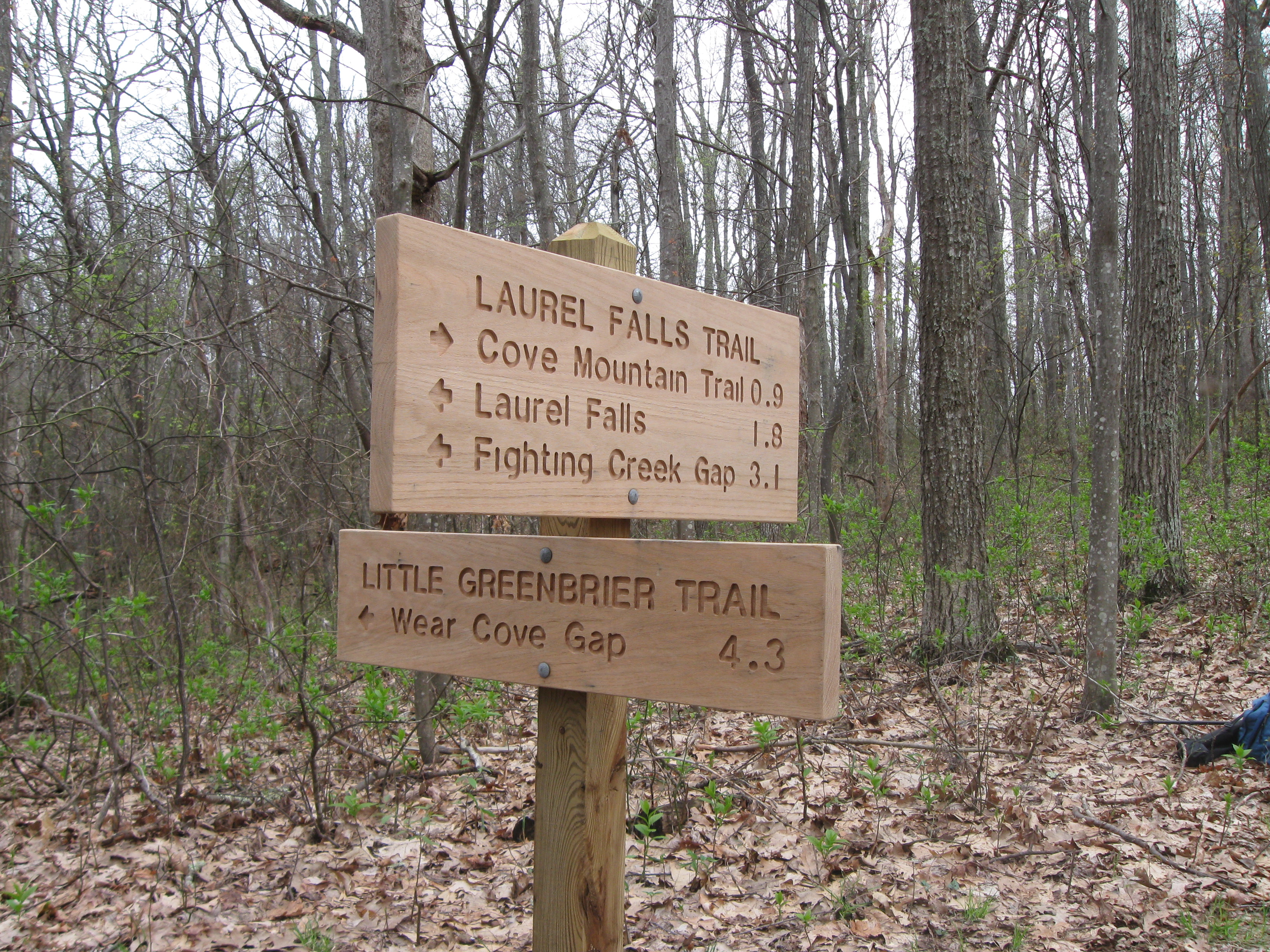
Little Greenbrier Trail, Intersection with the Laurel Falls Trail,
4.3 miles from the trailhead. Great Smoky Mountains National Park, 20 Mar 2015.
Trail intersection sign.
|
Little Greenbrier Trail, Intersection with the Laurel Falls Trail,
4.3 miles from the trailhead. Great Smoky Mountains National Park, 20 Mar 2015.
Trail intersection sign.
|
|
Little Greenbrier Trail, Intersection with the Laurel Falls Trail,
4.3 miles from the trailhead. Great Smoky Mountains National Park, 20 Mar 2015.
Trail intersection sign.
|
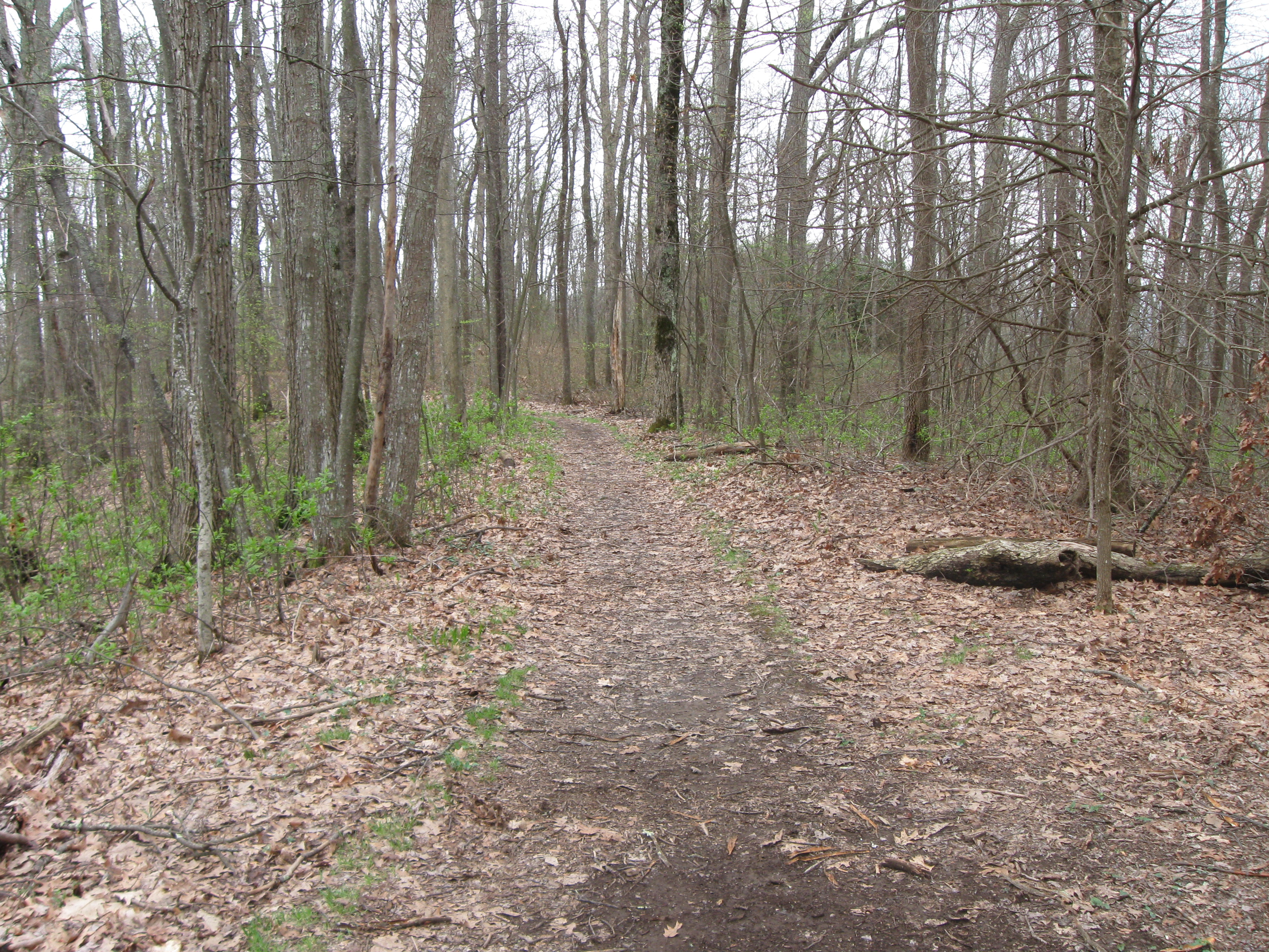
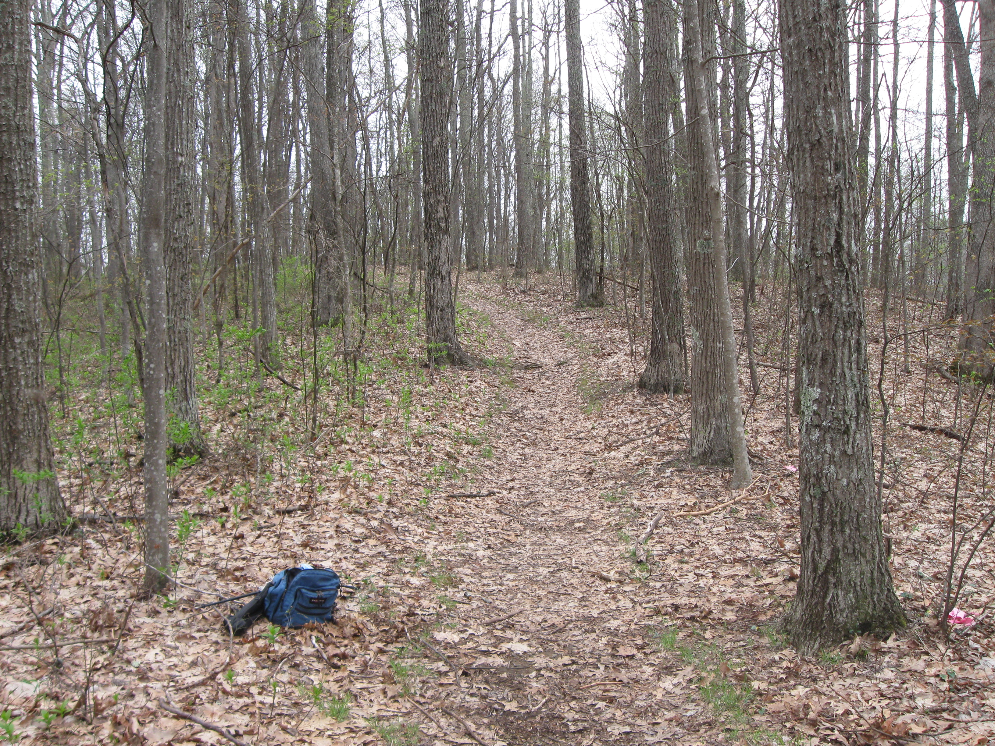
Little Greenbrier Trail, Intersection with the Laurel Falls Trail,
4.3 miles from the trailhead. Great Smoky Mountains National Park, 20 Mar 2015.
Looking back down the Little Greenbrier Trail.
|
|
Little Greenbrier Trail, Intersection with the Laurel Falls Trail,
4.3 miles from the trailhead. Great Smoky Mountains National Park, 20 Mar 2015.
Laurel Falls Trail back down towards Laurel Falls and then to Little
River Road.
|
Little Greenbrier Trail, Intersection with the Laurel Falls Trail,
4.3 miles from the trailhead. Great Smoky Mountains National Park, 20 Mar 2015.
Laural Falls Trail on up 0.9 miles to the intersection with the
Cove Mountain Trail.
|
|
Little GreenBrier Trail, Great Smoky Mountains National Park - end of trail, 1 of 3 (intersection with Laurel Falls Trail),
3/20/2015 from Jerry Bryan on Vimeo.
|
Little GreenBrier Trail, Great Smoky Mountains National Park - end of trail, 2 of 3 (intersection with Laurel Falls Trail),
3/20/2015 from Jerry Bryan on Vimeo.
|
|
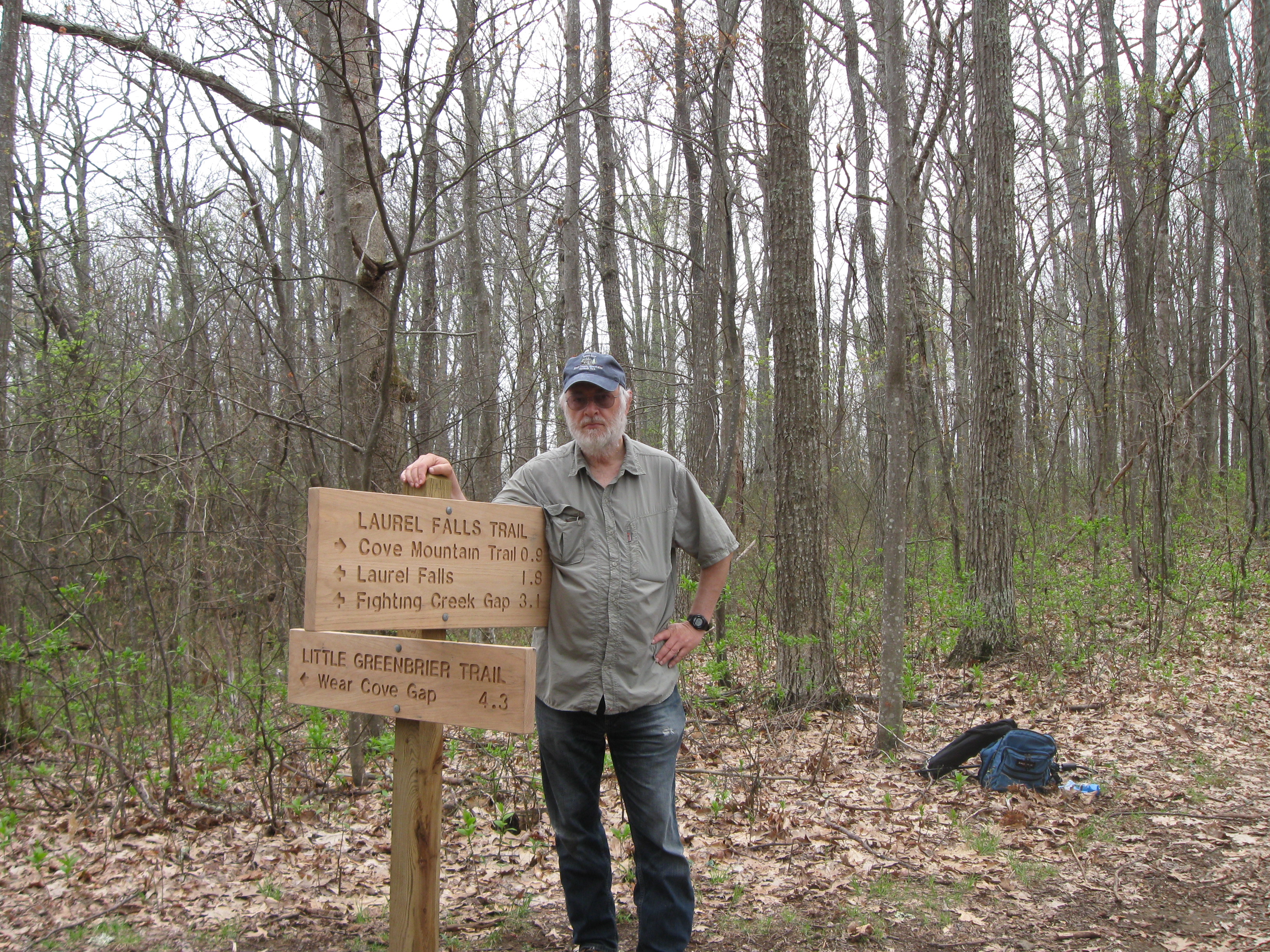
Little Greenbrier Trail, Intersection with the Laurel Falls Trail,
4.3 miles from the trailhead. Great Smoky Mountains National Park, 20 Mar 2015.
Selfie at the intersection of the Greenbrier Trail and the Laurel
Falls Trail.
|
Little GreenBrier Trail, Great Smoky Mountains National Park - end of trail, 3 of 3 (intersection with Laurel Falls Trail),
3/20/2015 from Jerry Bryan on Vimeo.
|
This page last edited on 09 Mar 2014.