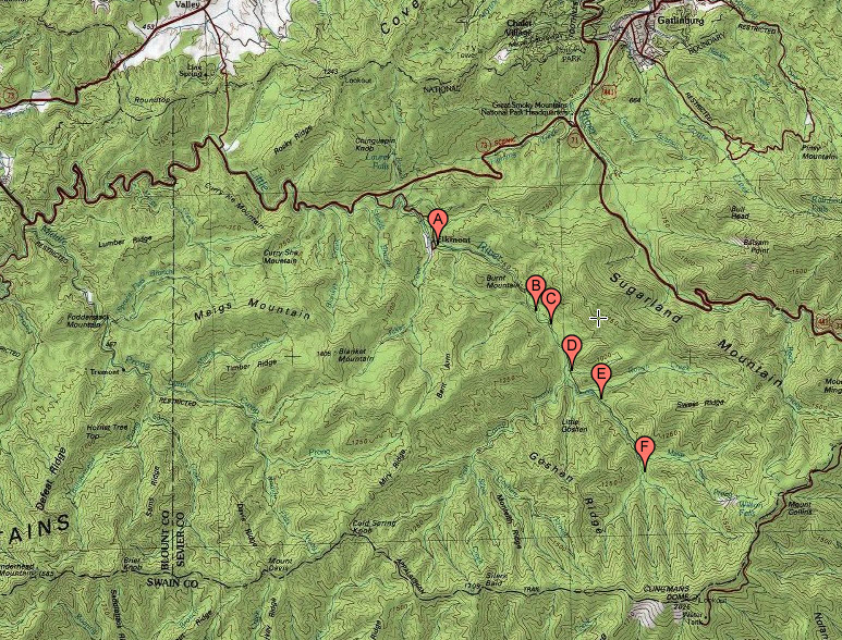
The trailhead is at the Elkmont Campground at the end of Elkmont Road (point A). Elkmont Road is a paved road. There are multiple large parking lots because there are multiple trailheads near the campground and the trails are heavily used. To get to Elkmont, travel on Little River Road from the Townsend Y towards Gatlinburg, or travel on Little River Road from Gatlinburg towards the Townsend Y. From Little River Road, it is about a 2 mile drive on Elkmont Road to the trailhead.
It is about 6.0 miles from the trailhead (point A) to the end of the trail (point F). The end of the trail is about two miles from the Appalachian Trail. However, the end of the trail is a dead end and there is not intersection with the AT. Some authors give the length of the trail as about 6.2 miles, and I don't yet have a GPS track for the whole trail with which to check the distance.
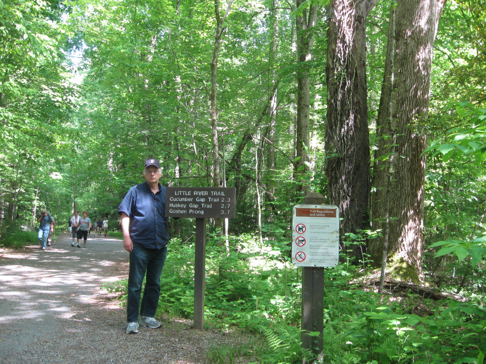
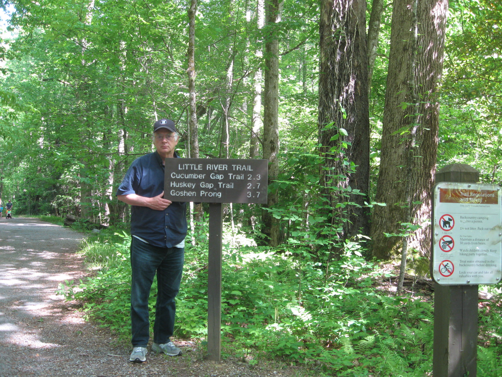
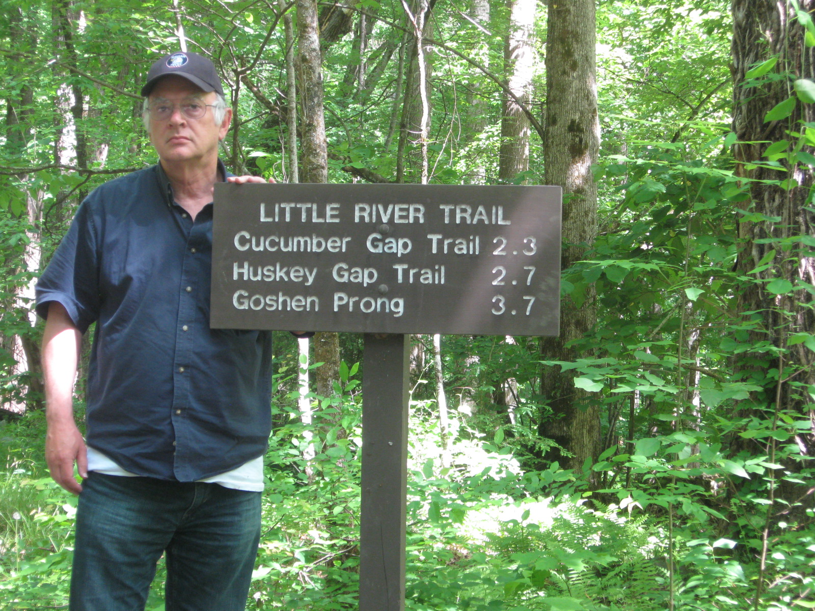
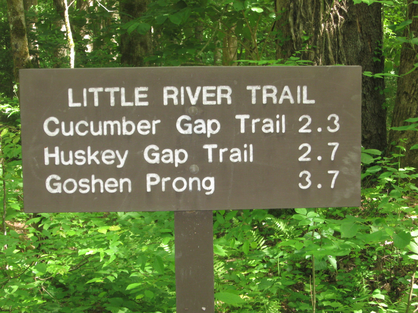
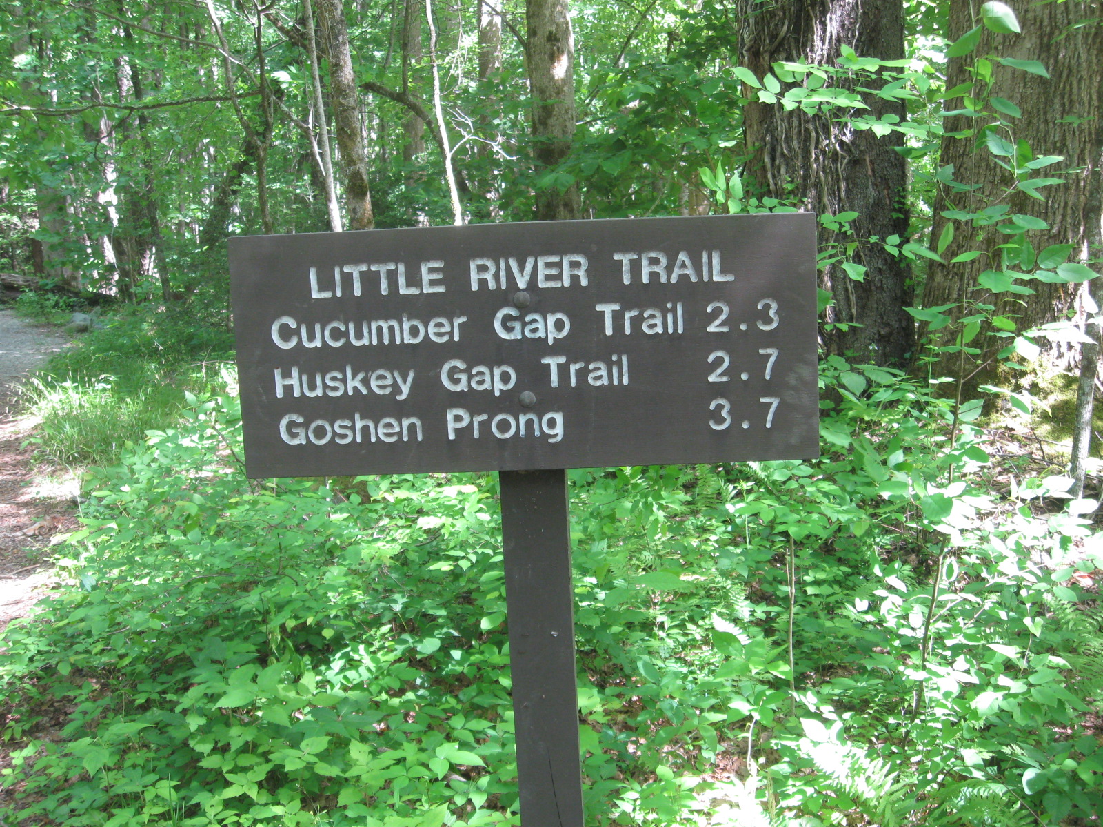
There is not a way to hike the entire trail as a day hike without hiking the entire 12.0 mile round trip. However there is an intersection with the Cucumber Gap trail at 2.3 (point B) miles that could be used to make a loop of little more than 5 miles for the loop.
At 2.7 miles is the intersection with the Huskey Gap trail (point C). There is an intersection with the Goshen Prong Trail at 3.4 miles (point D) and an intersection with the Rough Creek Trail at 4.2 miles (point E). Campsite 30 is at the end of the trail at 6.0 miles. Hiking the trail can be broken into two 6.0 mile days instead of one 12.0 mile day by spending the night at Campsite 30.