Jerry Bryan's Web Pages

Norris Dam, River Bluff Trail

Norris Dam River Bluff Trail, trailhead Natural Area West Side of Dam

3.2 mile loop, crest of ridge and bank of Clinch River below dam

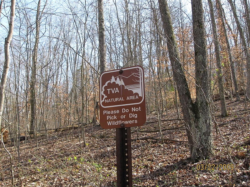
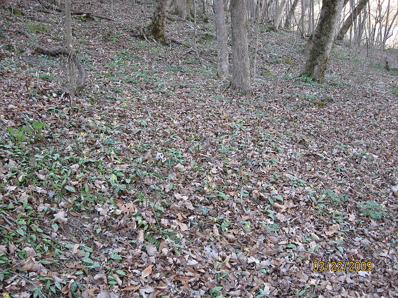
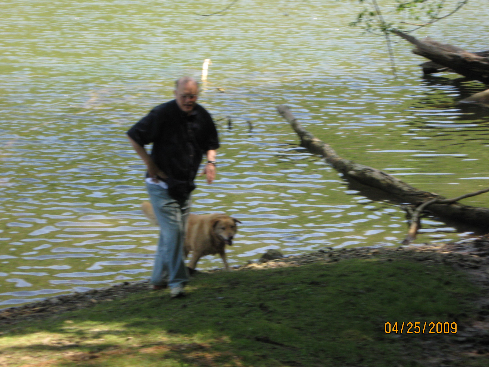
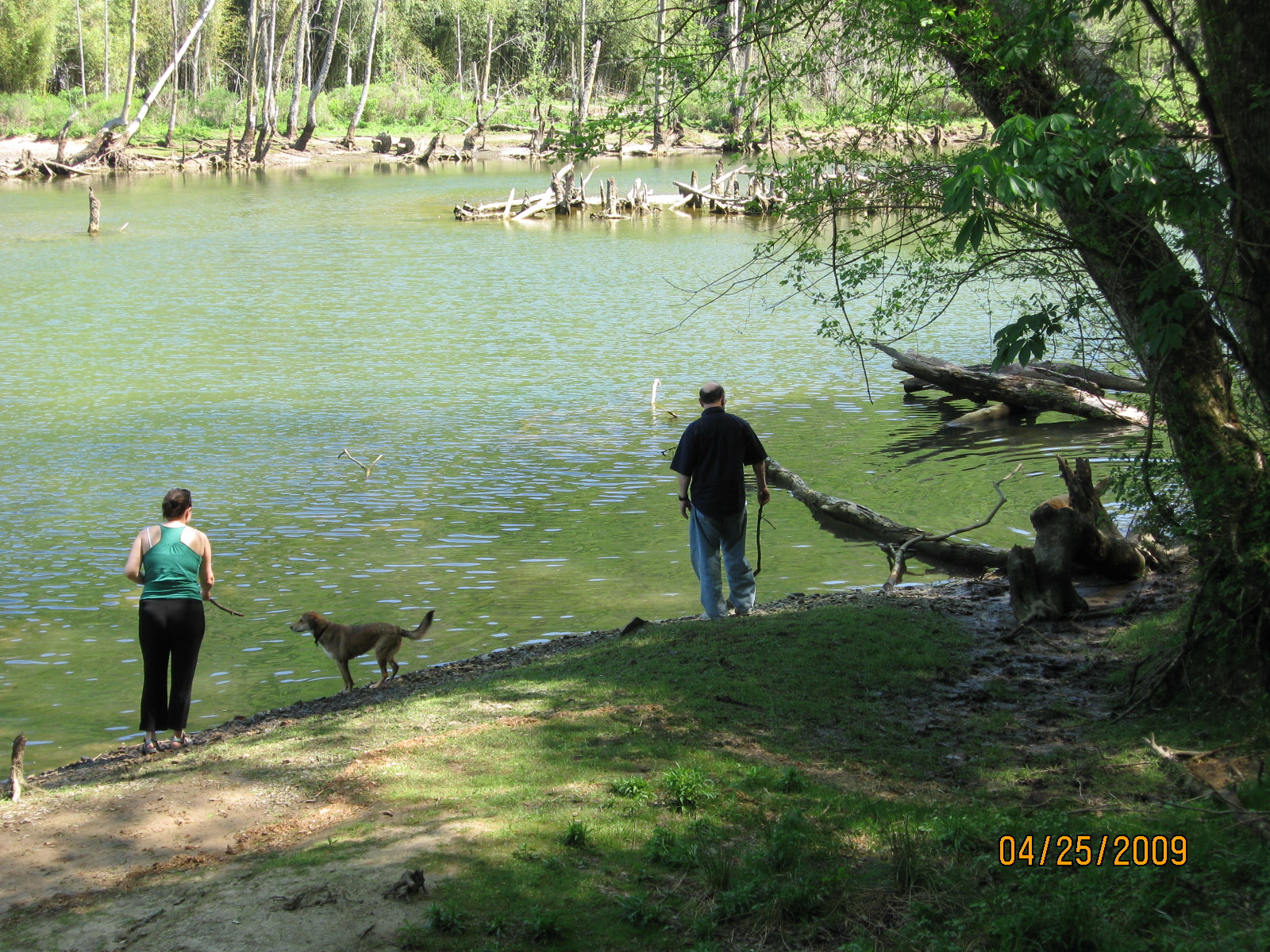
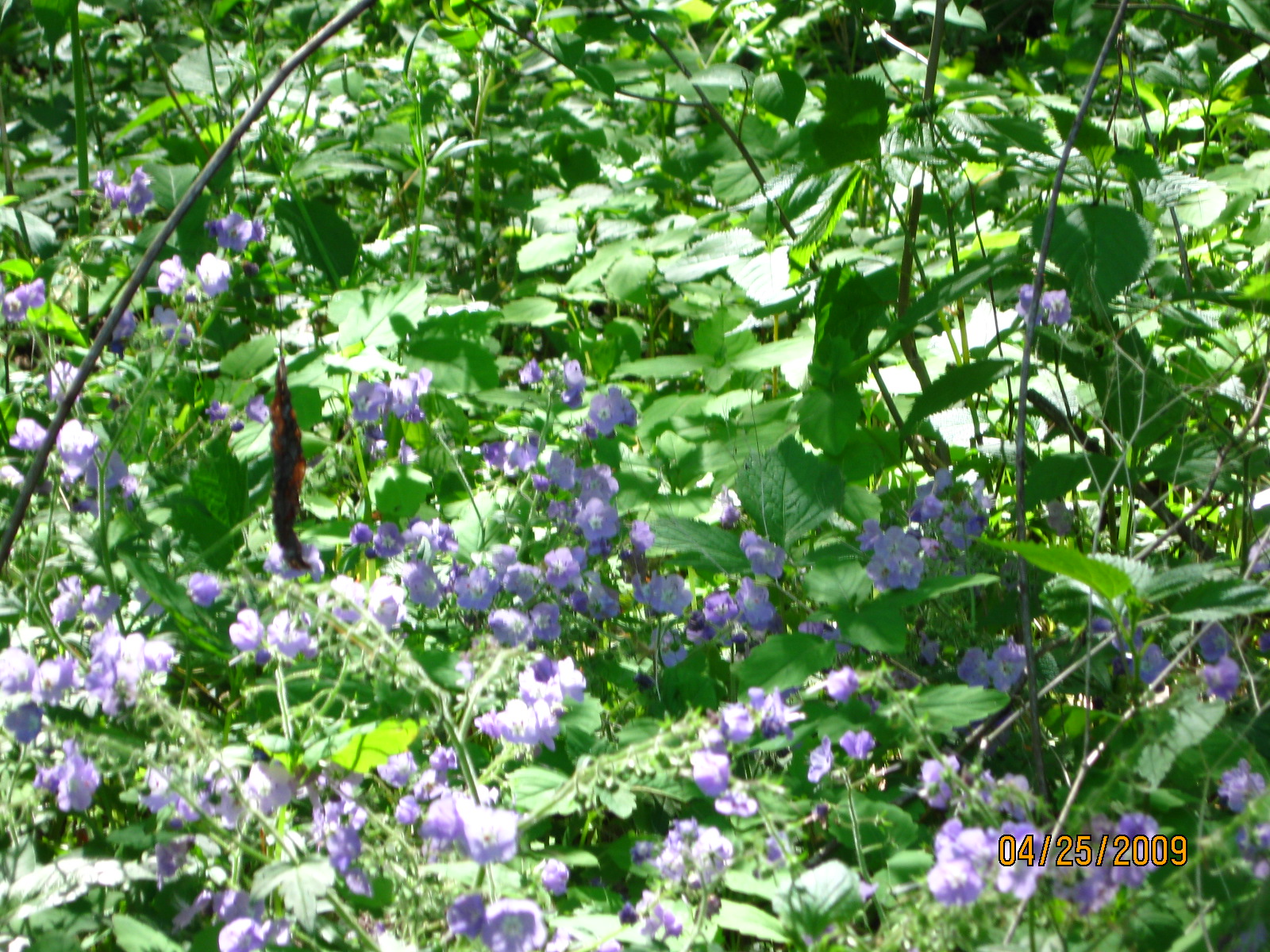
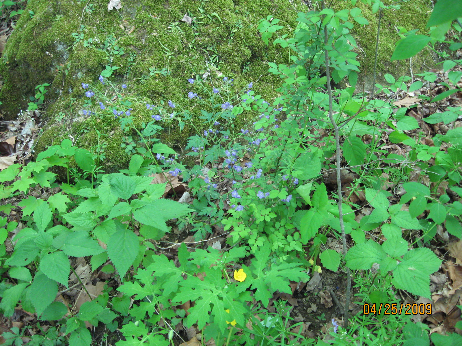
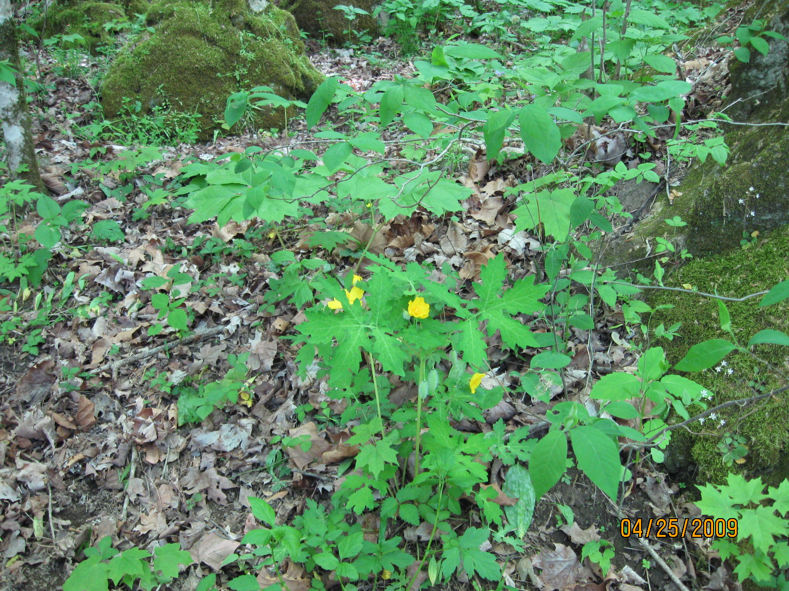
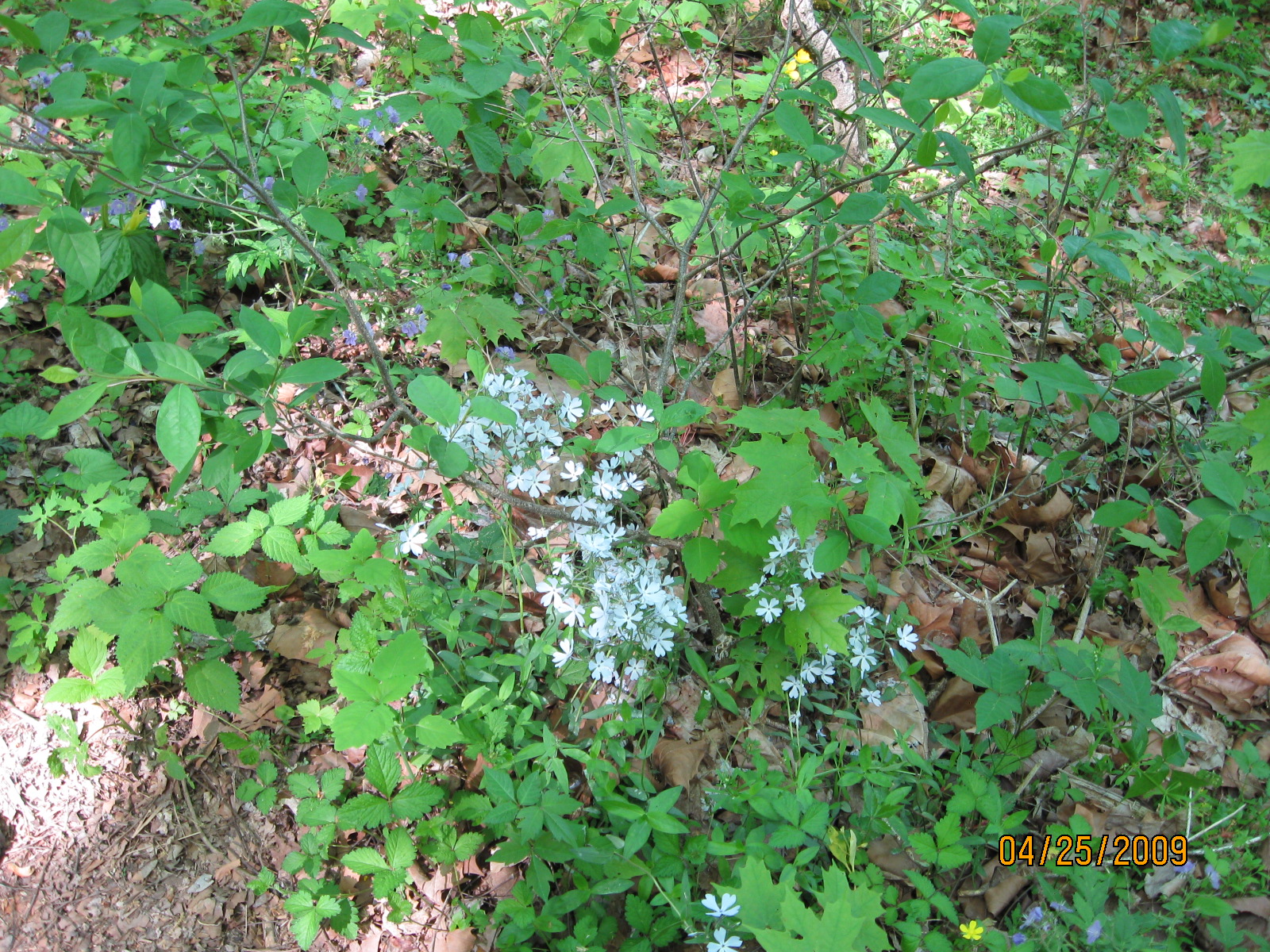
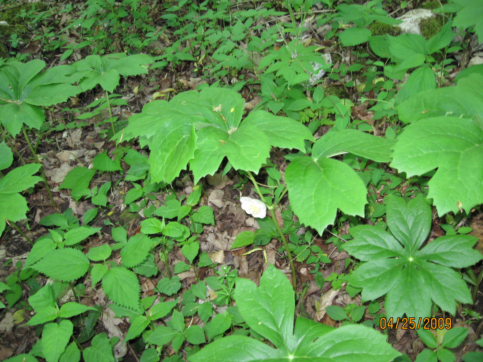
This trail is not quite the same experience as hiking in the mountains.  But I still hike it quite a bit.  It's a short trail, it's an easy trail, and it's close to my house.  So it's a good hike when there isn't much time.  Also, it's a very good wildflower trail in the spring, and because it's not the National Park I am able to take my dog.

Topographic map of Norris Dam, River Bluff Trail

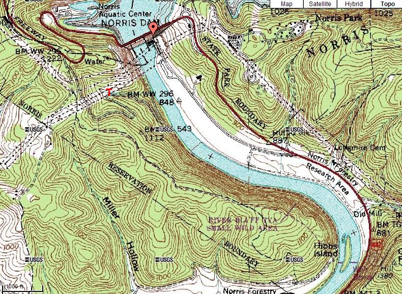
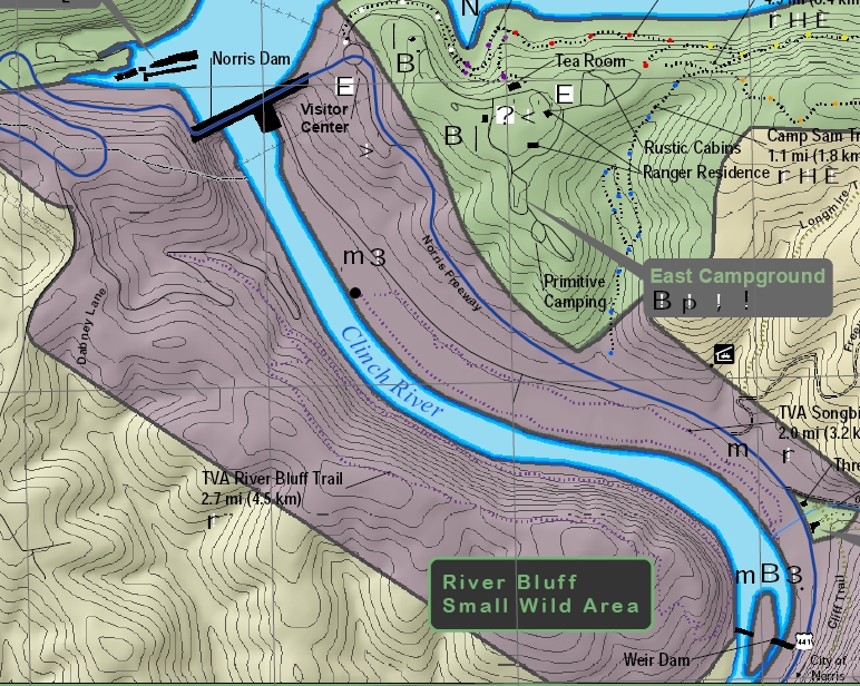
The trailhead (red T) is just west of and below Norris Dam.  You get to the trailhead via Dabney Lane off Norris Freeway.  The traditional way to get there would be to take Norris Freeway north out of Knoxville to Norris Dam and cross the dam.  Norris Freeway is also called US441.  Upon crossing the dam, the first left is an unnamed road to the west Norris Dam Overlook.  The second left is Dabney Lane.  Within 100 feet or so of turning onto Dabney Lane, there is a little unnamed road that takes a Y to the left.  The unnamed road goes down to a small parking lot at the trailhead.  The unnamed road actually continues on down to the river, but it is gated below the parking lot.  Authorized TVA personnel are the only ones who can open the gate and drive on down to the river.  Another way to get there is to take I-75 north out of Knoxville to exit 128.  From exit 128, take US441 south almost to the dam.  Just before the dam, turn right on Dabney Lane and proceed as before.

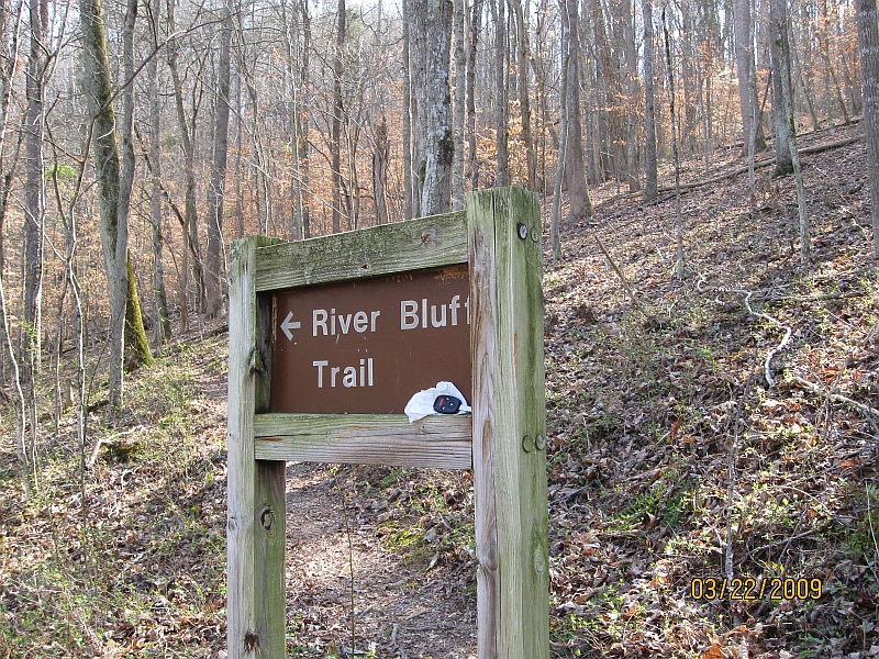
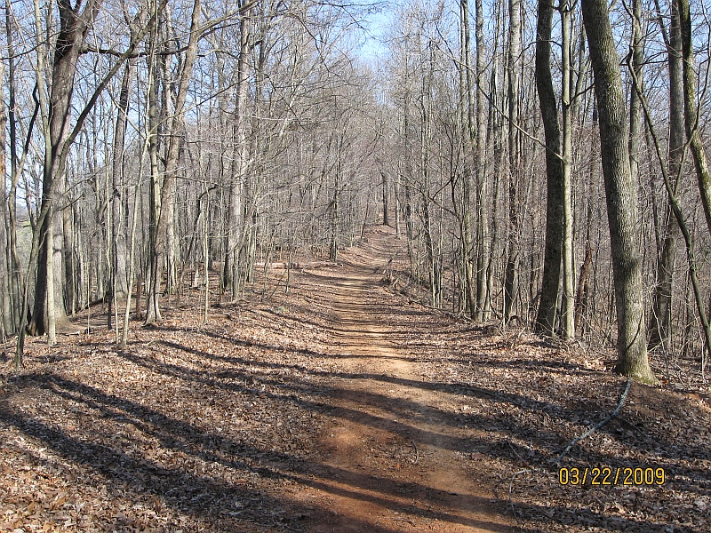
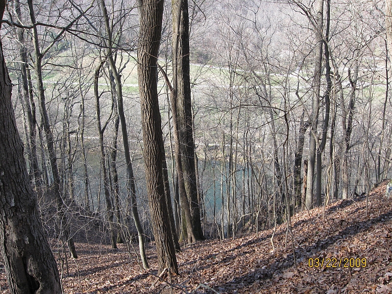
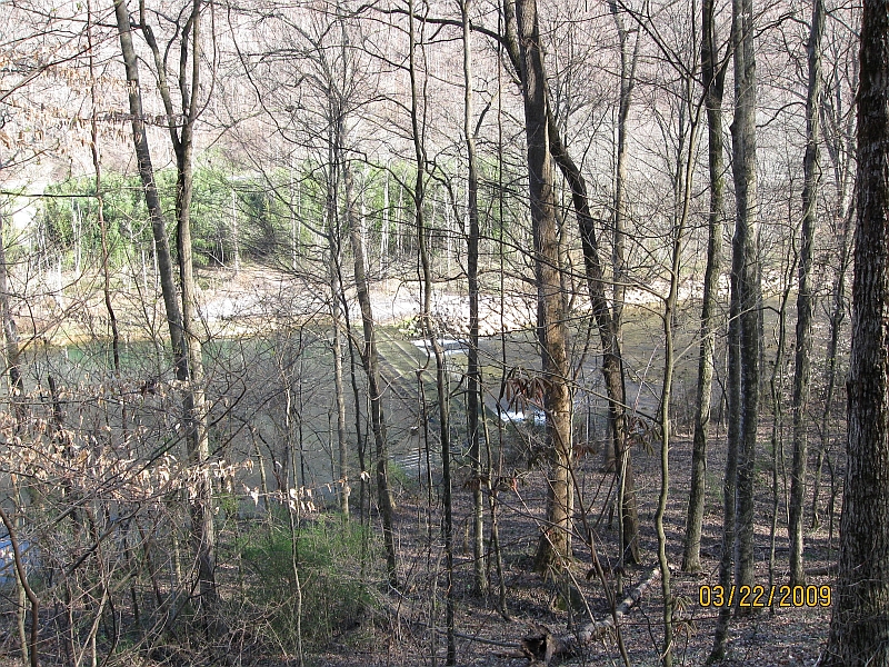
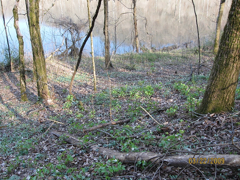
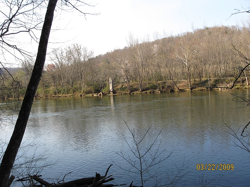
The Clinch River flows south just below Norris Dam.  The east bank is flat river bottom land, maintained by TVA as grassy areas and parking lots for visitors.  On the west bank is a steep ridge that parallels the river.  The River Bluff Trail is a loop on the west side of the river.  About half the trail is along the river bank itself, and about half of the trail follows the crest of the ridge.  The trailhead is about halfway between the river and the crest of the ridge.  For about the first five minutes, the trail is very flat.  At that point, the trail splits and you can walk the loop either clockwise or counterclockwise.  If you take the left fork, the trail will descend gently down to the river bank and follow the river until the far end of the trail where it loops up to the top of the ridge.  If you take the right fork, the trail will climb gently up to the crest of the ridge and follow the ridge until the far end where it loops down to the river.  The far end of the trail is a steep climb or ascent.  I usually take the right fork of the trail and do the ridge crest first so that I can take the steep part of the trail downhill instead of uphill.

The trail itself doesn't appear on the USGS topo map except for a small portion at the far end of the trail near Hibbs Island.  What appears on the topo map to be a trail is a dirt road along the crest of the ridge.  It may be an old logging road, or it may just be an access road that TVA built at the same time they built the dam back in the 1930's.  The trail does parallel the dirt road for a good way at the top of the ridge.


Topographic map of Norris Dam, River Bluff Trail

Here is another map of the area, this one from the state of Tennessee rather than from the USGS.  The Tennessee map does show the trail fairly well.  However, it doesn't show the dirt road, so it's not easy on either map to really see how close the trail comes to the dirt road at the crest of the ridge.

The Tennessee map clearly labels a weir dam in the river at the far end of the trail.  Actually, there are two weir dams.  One of them goes from the west bank of the river to Hibbs Island, and the other weir dam goes from Hibbs Island to the east bank of the river.  There is a parking lot on Norris Freeway at the weir dam on the east bank.  So if you want to get a good look at one of the weir dams without having to take a hike through the woods, you can just drive to the weir dam on the east bank.


22 Mar 2009, 3.2 miles

It was warm and sunny (mid 70's).  It's unusual to be so warm so early.  There were a few wildflowers out, but very few.


This is the trailhead.

Norris Dam River Bluff Trail, trailhead

A "don't pick the flowers" sign near the beginning of the trail.

Norris Dam River Bluff Trail, don't pick the flowers

Five minutes from the trailhead, the trail splits.  The crest of the ridge is to the right and the river bank is to the left.

Norris Dam River Bluff Trail, fork in the trail

A better look at the sign where the trail splits.

Norris Dam River Bluff Trail, sign at the split in the trail

The only wildflowers I found on the ridge crest portion of the trail.  I don't know wildflowers very well (trying to learn them), but this may be bloodroot.

Norris Dam River Bluff Trail, wildflowers on the ridge

A view of Norris Dam from the ridge crest.  The dam is visible only because the summer foliage is not out yet.

Norris Dam River Bluff Trail, Norris Dam from the ridgecrest

The dirt road at the crest of the ridge.  The trail is just to the left of and parallel to the road at this point.

Norris Dam River Bluff Trail, dirt road at the crest of the ridge

Another more distant view of Norris Dam.  This one is from close to the far end of the trail.

Norris Dam River Bluff Trail, Norris Dam from the far end of the trail

From the far end of the trail, looking down to the river.  A direct off-trail descent to the river would be quite steep at this point.  The parking area and Norris Freeway are across the river.

Norris Dam River Bluff Trail, far end of the trail down to the river

The weir dam between the west bank of the river and Hibbs Island.  The river was running low, so all the water was flowing through pipes in the dam.  When the river is running high, the water runs several feet deep over the top of the weir dam and is very impressive.  The purpose of the weir dam is to oxygenate the water.  The problem with oxygen is that the main dam draws water out of the deepest part of the reservoir, and the deep water is very oxygen deficient.

Norris Dam River Bluff Trail, wildflowers near the river

Wildflowers at the river, near the far end of the trail.  Nearly all the wildflowers that were out were near the river, and very few were out further up the ridge.  I don't know wildflowers very well, but I believe these are bloodroot.

Norris Dam River Bluff Trail, wildflowers at the river

A close up of some wildflowers.  I'm pretty sure these are trout lilies.

Norris Dam River Bluff Trail, close up of wild flowers

Two beds of wild flowers near the river, yellow ones on the foreground and white ones in the background.  I believe the yellow ones are trout lilies and the white ones are bloodroot.

Norris Dam River Bluff Trail, Norris Dam from the far end of the trail

A view across the river well below the dam.  The highway on the other side of the river is Norris Freeway.  I've always wondered what the concrete structure is at the other side of the river.  It appears to predate the dam.

Norris Dam River Bluff Trail, a view across the river

A close up of the largest wildflower I found along the trail.  This one was pretty much by itself, and was not a part of a bed.  I believe this one is bloodroot, but I fear that I'm identifying every white wildflower as bloodroot whether it is or not.

Norris Dam River Bluff Trail, largest wildflower on the trail

25 Apr 2009, 3.2 miles

It was a warm sunny day. I had my dog Cole with me. My daughter Jesse had their dog Leela with them. Jesse's husband Nick was the photographer.


Cole and Jerry by the river.

Norris Dam River Bluff Trail, Cole and Jerry

Cole, Jesse, and Jerry. Well, Leela is barely visible behind Cole.

Norris Dam River Bluff Trail, don't pick the flowers

Jerry and Cole.

Norris Dam River Bluff Trail, Jerry and Cole

Jerry and Cole.

Norris Dam River Bluff Trail, sign at the split in the trail

Jesse, Leela, and Jerry.

Norris Dam River Bluff Trail, wildflowers on the ridge

Wild flowers.

Norris Dam River Bluff Trail, Wild Flowers

Wild flowers.

Norris Dam River Bluff Trail, dirt road at the crest of the ridge

Wild flowers.

Norris Dam River Bluff Trail, Norris Dam from the far end of the trail

Wild flowers..

Norris Dam River Bluff Trail, far end of the trail down to the river

Wild flowers.

Norris Dam River Bluff Trail, wildflowers near the river

Wild flowers.

Norris Dam River Bluff Trail, wildflowers at the river

Return to Jerry's Home Page

This page last edited on 23 Sep 2017.