Jerry Bryan's Web Pages

Roundtop Trail

Roundtop Trail

7.5 miles from the trailhead at Wear's Cove Gap to the Townsend Y.  You can also treat the Y as the trailhead and hike to Wear's Cove Gap.  It would be a lot to do a round trip on one day, because the round trip would be 15 miles.

20 Feb 2010, 2.0 miles
12 Mar 2010, 4.8 miles
02 Apr 2010, 6.4 miles
6 Aug 2014, 7.5 miles


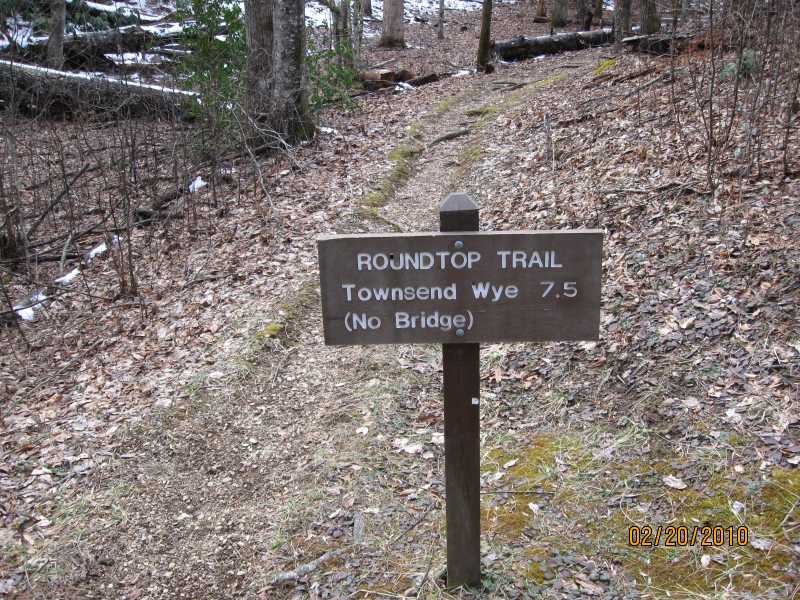
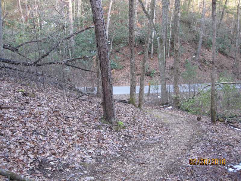
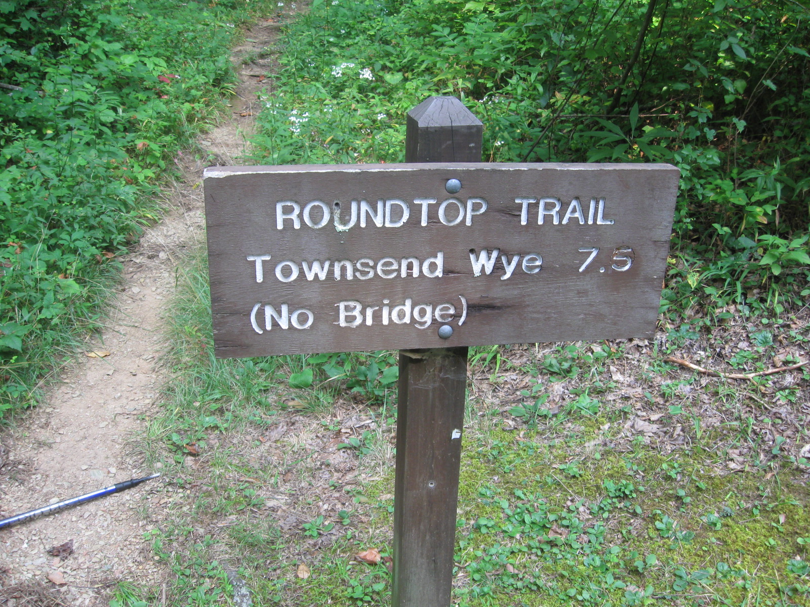
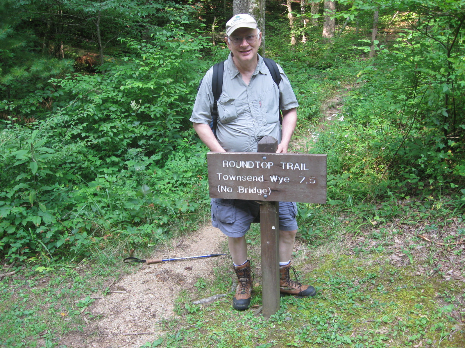
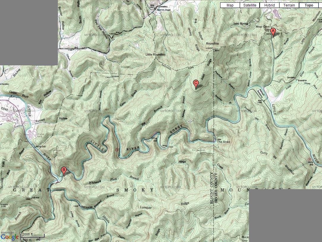
The trailhead is just after you enter the park at the Wear's Cove Gap entrance (point A).  This is an unmarked and little used entrance to the park out of Wear's Valley.  As an alternative, enter the park at the Townsend Y.  The end of the trail is just across the river.  Ford the river at point B.  Or you can treat point B as the trailhead, and point A as the end of the trail.

It is 2.4 miles from the trailhead (point A) to the highest point on the trail at Joint Ridge (point C).  It's another 5.1 miles from Joint Ridge to the Y.  Between point A and point C, you will occasionally see boundary markers as the trail goes in and out of the park.


20 Feb 2010, 2.0 miles

Roundtop Trailhead, Great Smoky Mountains National Park, 20 Feb 2010.

It was a cold day in February, and there was still some snow on the ground.  I only went about a mile down the trail and then back because it was late in the day and dark came very early.

Download an mp4 version of the video.

Trailhead for Roundtop Trail

Roundtop Trail, Trailhead, Great Smoky Mountains National Park, 20 Feb 2010.

Trailhead Sign for Roundtop Trail
Roundtop Trail, Trailhead Sign, Great Smoky Mountains National Park, 20 Feb 2010.

Roundtop itself
Roundtop Trail, View of Roundtop itself, Great Smoky Mountains National Park, 20 Feb 2010.

Trailhead for Roundtop Trail
Roundtop Trail, Returning to trailhead at end of hike, Great Smoky Mountains National Park, 20 Feb 2010.


12 Mar 2010, 4.8 miles

It was a warm, cloudy March day with an occasional roaring wind that was very cold when it blew.  It could go back and forth between being too warm and too hot in seconds as the wind rose up and died down.  It was not a Goldilocks day where the temperature was "just right".  Even when the wind wasn't blowing where I was, I could hear it roaring down the valley or up above me on the ridge.  It was very impressive how loud the wind was.  There were no wildflowers out yet.

I hiked from the Wear's Cove Gap trailhead to Joint Ridge and back.  Joint Ridge is 2.4 miles from the trailhead.  There were a few sprinkles of rain while I was on the trail, but I didn't get wet.  A ferocious thunder storm hit about five minutes after I got back to the car.

Roundtop Trail, Great Smoky Mountains National Park, 12 Mar 2010.  The video starts out standing at the trailhead and looking south down into the park, and then it pans right (to the west) to the trailhead itself.  I took the video from the road, and ended up walking from the road towards the trailhead.

Roundtop Trail, View of Roundtop Itself, Great Smoky Mountains National Park, 3/12/2010.


02 Apr 2010, 6.4 miles

This was the same basic hike I had done twice earlier in the year.  The only difference is that I went a little further down the trail this time than before - 3.2 miles down the trail for a total round trip of 6.4 miles.

At the present time, I cannot locate my pictures from this day.

I still need to do this hike as a one way hike from Wear's Cove Gap to the Y, but to do so I will need logistical help to be dropped off and picked up.  I will also need warm weather and a period of little or no rainfall so that the Little River will be running low enough at the Y to ford safely.


6 Aug 2014, 7.5 miles

This was the first (and so far only) time that I did the entire 7.5 miles of the trail.  It was a one way trip, so I had a friend drop me off at the Wear's Valley entrance to the park and pick me up at the Y.  It was a very nice day and an easy hike.  The only two challenges were one very steep section about halfway through the hike, and getting across the Little River at the end of the hike.  On the steep section, I just sat down and scooted myself down.  On the river crossing, the Little River was not running especially high so fording the river was not too bad.  There are reports that the river can be uncrossable after a heavy rain.

Roundtop Trail - steepest point on trail, Great Smoky Mountain National Park, 6 Aug 2014 from Jerry Bryan on Vimeo.

Roundtop Trail - end of trail, Great Smoky Mountains National Park, 6 Aug 2014 from Jerry Bryan on Vimeo.

Trailhead for Roundtop Trail

Roundtop Trail, Trailhead, Great Smoky Mountains National Park, 6 Aug 2014.

Trailhead Sign for Roundtop Trail
Roundtop Trail, Trailhead Sign, Great Smoky Mountains National Park, 6 Aug 2014.


Return to Jerry's Home Page

This page last edited on 25 Apr 2017.