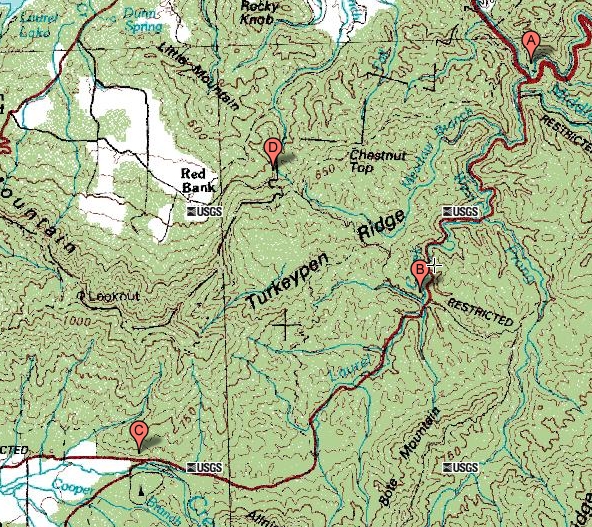
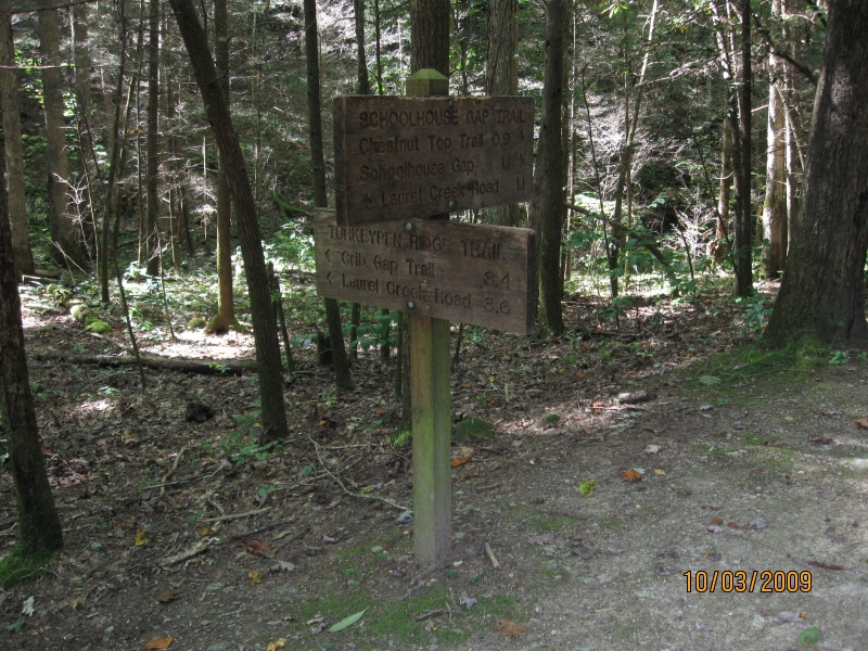
(zoomed out view of map) The trailhead is at point B on Laurel Creek Road between the Townsend Y at point A and the entrance to Cades Cove at point C. Laurel Creek Road is sometimes called Cades Cove Road. Strictly speaking, the Cades Cove Loop Road is the road inside Cades Cove itself, and the road to Cades Cove is Laurel Creek Road. 
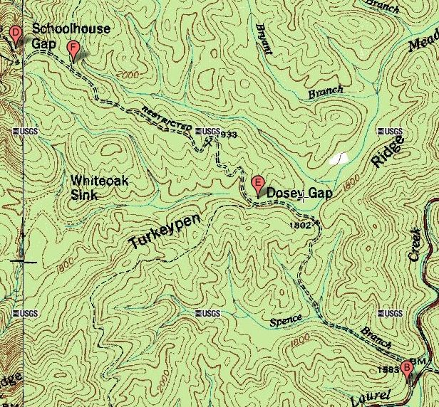
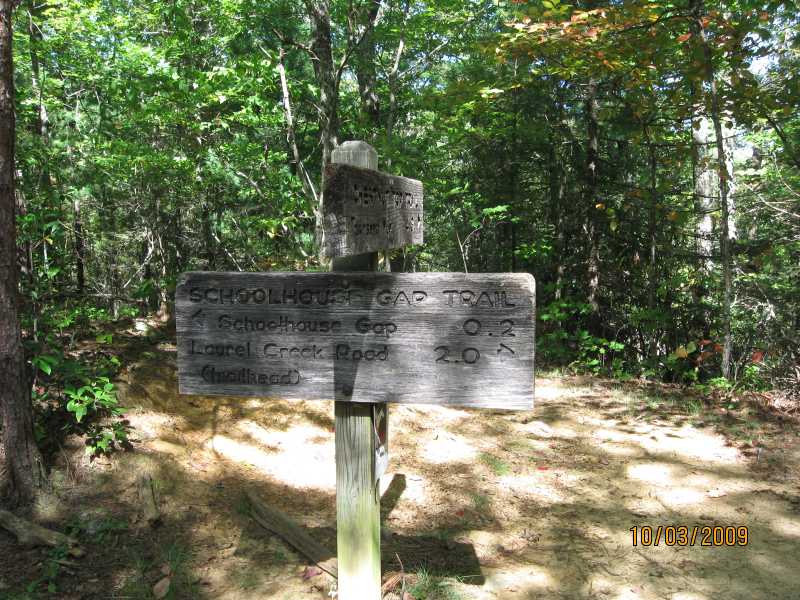
Schoolhouse Gap is at point D, so the trail runs from point B to point D. Schoolhouse Gap is at the park boundary. I have tried to drive to point D from outside the park, but when I did so I encountered a locked gate. So either I had the wrong road, or else I had the correct road and it becomes a private road shortly before it gets to Schoolhouse Gap. |
(zoomed in view of map) The trailhead is at point B on Laurel Creek Road. There is an intersection with the Turkeypen Ridge Trail at point E. The Turkeypen Ridge Trail goes to the left (to the west). There is an intersection with the Chestnut Top Trail at point F. The Chestnut Top Trail goes to the right (to the northeast on the map), and runs for 4.3 miles back to the Y. In addition, there is an unnamed man way that goes to the left, but I haven't been able to find the man way on a map. It is 2.0 miles from point B to point F, and another 0.2 miles from point F to the end of the trail at point D. |
It was a beautiful fall day with clear air, an incredibly blue sky, temperature in the 60's, and a light wind blowing. Trailhead sign, plus a picture of me at the trailhead. There were horse trailers in the parking lot, and horses on the trail. |
Intersection with the Turkeypen Ridge Trail, 1.1 miles into the hike. |
View to the left down the Turkeypen Ridge Trail. |
View up the Schoolhouse Gap Trail with the Turkeypen Ridge trail off camera to the left. |
View of the man way that forks off to the left of the main trail. I don't know where it goes. The fence like structure serves to keep horses from going down the man way. |
Close up of the fence like structure at the man way that prevents horses from going down the man way. |
Little sign on the main trail where the man way branches off, just to be sure you can tell which is the main trail and which is the man way. |
Approaching the intesection with the Chestnot Top Trail, which branches off to the right. Straight ahead is the continuation of the School House Gap Trail itself, and this is a good view of how the trail is wide and well groomed. |
Chestnut Top Trail to the right, 4.3 miles back to the Townsend Y. |
Close up of the Chestnut Top Trail sign. |
Close up of the Schoolhouse Gap Trail sign at the intersection with the Chestnut Top Trail. |
End of the Schoolhouse Gap Trail, except that it has the look and feel of a trailhead rather than of the end of a trail. |
A little video at the end of the Schoolhouse Gap Trail. |
Schoolhouse Gap, Great Smoky Mountains National Park from Jerry Bryan on Vimeo. |
This page last edited on 11 Jun 2011.