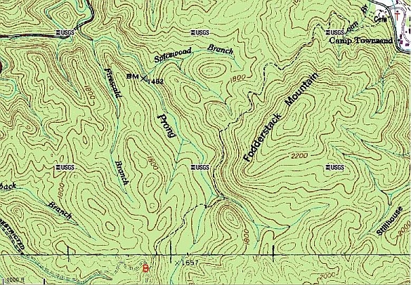
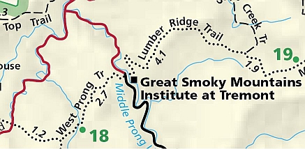
The trailhead is at the Great Smoky Mountains Institute at Tremont (red T at the upper right hand corner of the topographic map). To get to Tremont, turn right at the Townsend Y onto Laurel Creek Road towards Cades Cove, and turn left towards Tremont a couple of hundred yards later. It's about 2.2 miles to the trailhead after you turn left.
The trail is an easy half day or less hike round trip. The major items of note are that there is an old cemetery a couple of hundred yards from the trailhead, you cross the West Prong of the Little River about ¾ of the way through the hike, and you pass Backcountry Campsite 18 as you cross the West Prong.
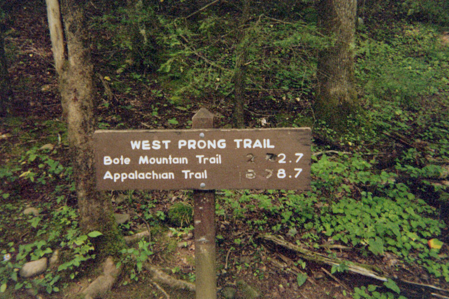
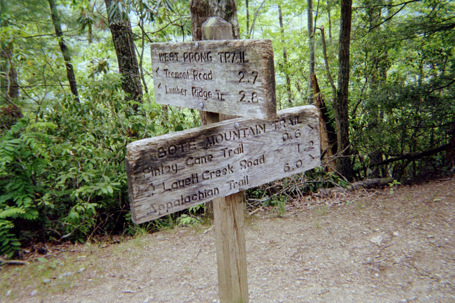
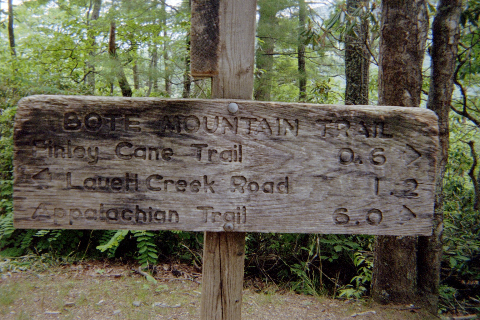
The trail ends at the intersection with the Bote Mountain trail (red B towards the lower left hand part of the map). If you turn right at the intersection, it's only 1.2 miles back down to Laurel Creek Road. Indeed, the West Prong trail parallels Laurel Creek Road, although you really can't hear traffic on the road from the trail.