The boundary of Alva's land is taken from 1942 Army Corps of Engineers maps. The boundary is superimposed on a background map which is a USGS topographic map from 1941. A more recent topographic map could be used, but the 1941 map seems more useful because it represents the area immediately before the Y-12 complex was built and before the city of Oak Ridge was built. Y-12 was built in Bear Creek Valley.
The property went from the top of Pine Ridge at the north to the top of Chestnut Ridge at the south, straddling Bear Creek Valley along the way.
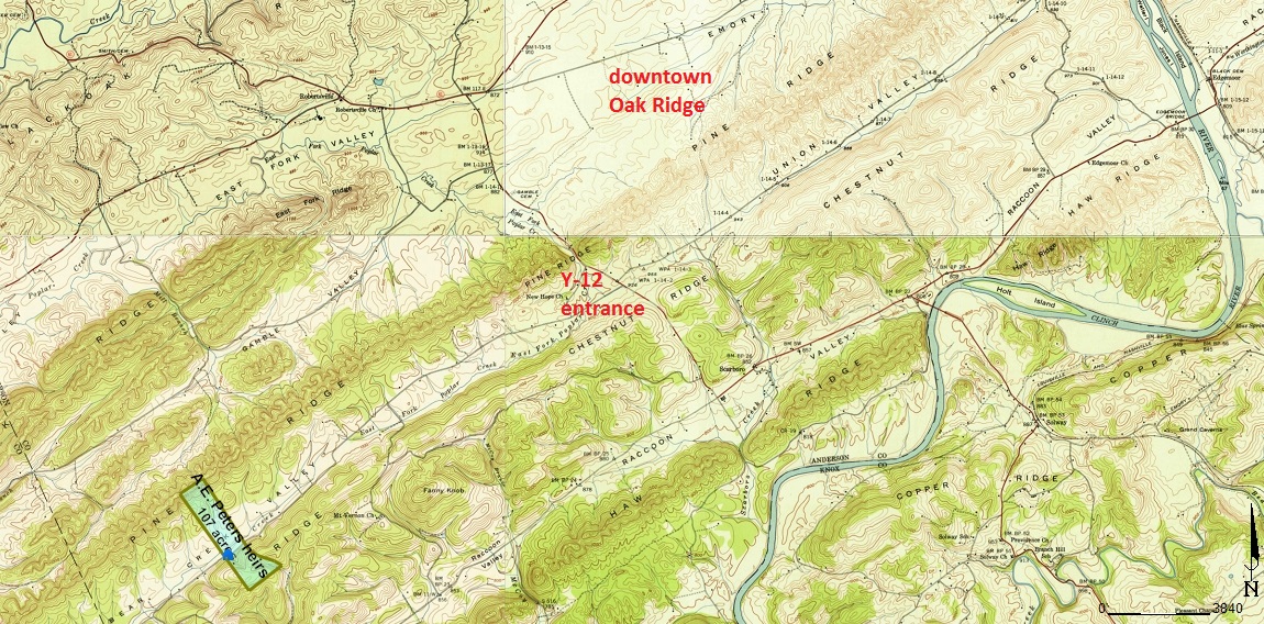
The map on the left is a wide view of the property, including captions for the main Y-12 entrance and downtown Oak Ridge. The background for the map on the left is pieced together from four separate USGS topographic maps because the corner of the maps is slightly to the northwest of the Y-12 entrance.
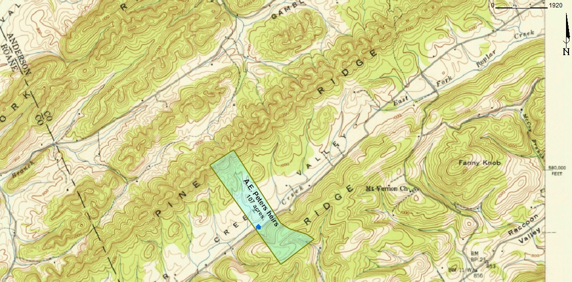
The map on the right is a more close-up view of the property. The map is sufficiently close-up that it was contained entirely within a single USGS topographic map, and no background maps had to be pieced together.