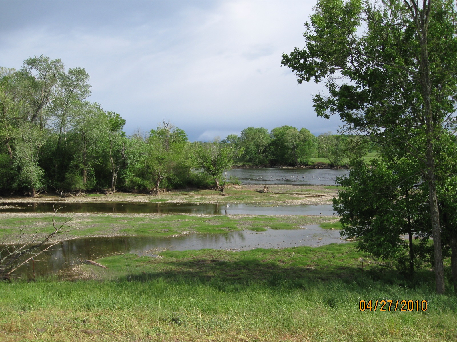
This is a view of the west end of Saffell Island, looking south across the river. Saffell Island is pretty much at the east end of property on which the Saffell Cemetery is located. The cemetery itself is located about 0.3 miles to the east of the island, to the right of the picture. The river flows east to west, left to right in the picture. Saffell Island is about two miles downstream from Douglas Dam, to the left of the picture.
The river was running extremely low on this particular day. It would have been possible to wade out to Saffell Island without getting much more wet than your feet and ankles. The river flow is controlled entirely by TVA's discharges from the dam, and not directly by current rainfall. There are days when the river runs much higher than shown in this picture.
It's a little hard to tell from the picture, but the main channel of the river beyond the island was full of blue heron. It seems likely that they nest on the island.
The picture is actually larger than it appears on the screen, and it has been scaled to fit the screen. Depending on your browser, it should be possible to view a larger version of the picture without losing resolution, and thereby to be able to see the blue heron a little better.